I loved exploring the Blue Mountains during our two-week road trip in November 2023. The waterfalls were breathtaking, especially after recent rainfall, and witnessing the Three Sisters at sunrise and sunset was truly magical as the sunlight illuminated the rock formations. We only scratched the surface of what the Blue Mountains have to offer, and I’m eager to return to experience more.
Along the way, we made several stops and stayed overnight at a few locations, allowing us to take our time and fully enjoy the journey without feeling rushed.
Guerilla Bay was among the coastal stops we visited en route to our next overnight stay.
Nestled along the pristine South Coast of New South Wales lies the hidden gem of Guerilla Bay—a tranquil haven offering respite from the hustle and bustle of everyday life. With its unspoiled beaches, lush foliage, and peaceful ambiance, Guerilla Bay beckons visitors to unwind and reconnect with nature. Explore secluded coves, swim in crystal-clear waters, or simply relax on the sandy shores. Immerse yourself in the natural beauty of this coastal paradise, where each moment is a chance to rejuvenate the mind, body, and soul. Welcome to Guerilla Bay, where serenity meets seaside splendor.
Guerilla Bay
Nestled on the South Coast of New South Wales, Guerilla Bay offers a serene escape with unspoiled beaches and lush foliage. This enchanting coastal hamlet invites exploration, promising tranquil beaches and breathtaking scenery. Immerse yourself in the town’s culture and savor fresh seafood for an unforgettable experience. Dive into pristine waters, swim, snorkel, or simply bask in the sun. Explore coastal trails for scenic views and embrace nature’s beauty. Don’t miss landmarks and viewpoints offering unique perspectives of Guerilla Bay’s charm. Whether seeking relaxation or adventure, Guerilla Bay promises an unforgettable retreat.
Guerilla Bay Beach
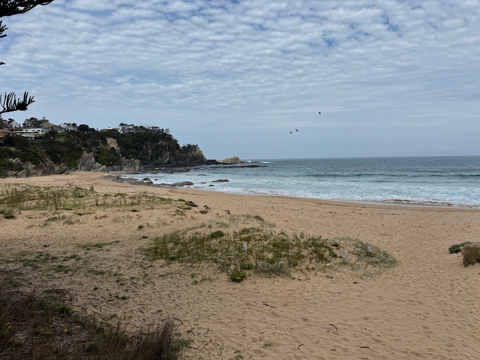
Guerilla Bay, just 13 km south of Batemans Bay, offers rugged coastline embraced by dense bushland. Its name, ‘guarella’ meaning ‘big rock’ in Aboriginal, suits its allure. Located on Beach Parade off George Bass Drive, it’s popular for scuba diving and snorkeling. Surfing isn’t ideal due to sheltered conditions, but scuba enthusiasts explore via a narrow passage between Burrewarra Point and an adjacent islet. Amenities like parking and walking trails complement its tranquil beauty. Note, Surf Life Saving Australia doesn’t provide services here, and it’s considered moderately hazardous.
Burrewarra Point Lookout
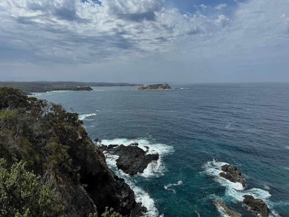
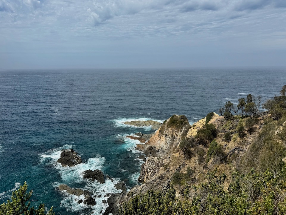
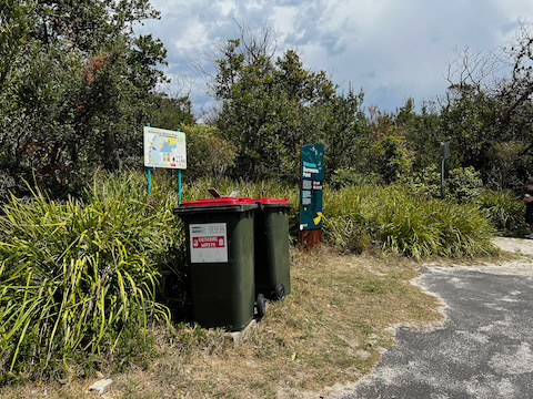
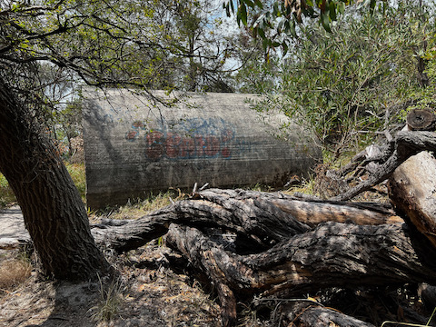
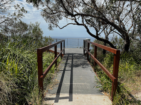
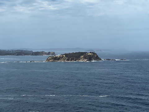
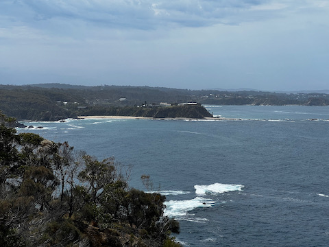
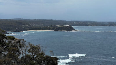
A brief ten-minute stroll from the car park along Burri Point Road guides you to Burrewarra Point Lookout, offering breathtaking views of the coastal headlands. This vantage point is particularly renowned as a prime spot for land-based whale watching during the annual spring migration. From the viewing platform, absorb the sweeping panoramas encompassing Guerilla Bay and extending northward towards Batemans Bay. Along the main walking trail, you might even catch sight of the remnants of a concrete bunker—a vestige from the radar station utilized by the RAAF during World War II.
Banksia Walk
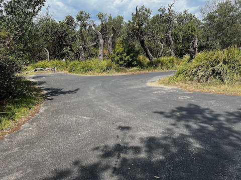
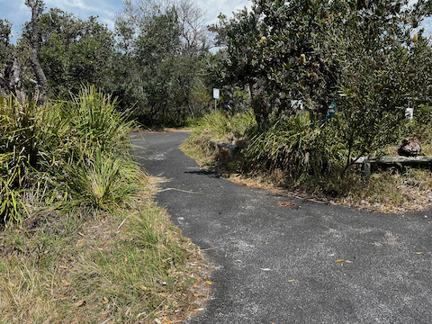
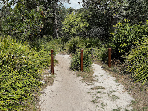
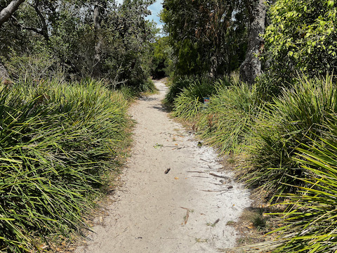
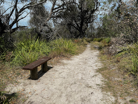
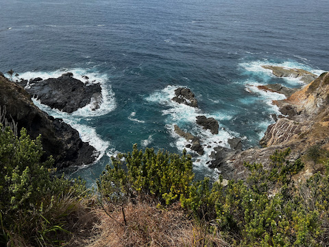
Nestled within the captivating embrace of Burrewarra Point, the Banksia Walk beckons with its serene charm—a delightful trail winding through a mature banksia forest, revealing breathtaking vistas of the South Coast and its hinterland. This tranquil pathway serves as an ideal vantage point for whale watching between September and November, while the autumn season adorns the banksias with striking grey-green flower spikes, attracting a myriad of nectar-eating birds. Although the walk is not recommended for toddlers and small children due to unfenced cliff edges, it presents a captivating opportunity for nature enthusiasts to immerse themselves in the serene beauty of the surroundings. Spanning 1.5 kilometres, the Banksia Walk offers a leisurely stroll that typically takes around 50 minutes to complete.
Snorkelling Guerilla Bay
Guerilla Bay’s crystalline waters beckon snorkelers of all skill levels, offering diverse experiences. A distinctive small rocky island serves as a focal point, dividing the bay into two distinct snorkelling zones. To the south of the gravel spit lie calmer, safer waters suitable for comfortable snorkelling, while the northern side presents more adventurous and challenging conditions.
On the northern side lies “the pot,” accessible depending on the tide. Despite its jagged rocks, reaching this area can be rewarding for seasoned snorkelers, particularly under favorable conditions.
The sheltered southern bay features rocky terrain with a flat reef extending upwards, forming walls at approximately a 35-degree angle, some reaching heights of up to ten meters. Among the seaweed-covered rocks and crevices, a diverse array of marine life thrives, including blue groper, wrasse, luderick, and more.
To access Guerilla Bay, turn off George Bass Drive onto Burri Point Road, then left onto Beach Parade, and finally, right into the beach car park.
Accessibility services are not available for individuals with specific access requirements.
Location: Beach Parade in Guerilla Bay, NSW 2536, Australia
Mossy Point And Tomanki
Mossy Point:
From Broulee, travel north on Coronation Drive towards Mossy Point.
Candlagan Creek, where you cross, is both unpretentious and beautiful. As it nears the beach, this modest sandy creek transforms into a crystal-clear pool, perfect for those seeking serene, flat waters for relaxation. Its sandy floor is ideal for shallow water play, and children delight in exploring beneath the small road bridge that spans the creek.
Continuing along the coastal road, you’ll arrive at the Boat Shed by the Tomaga River. This spot offers kayak and SUP rentals, guided tours, or the option to launch your own boat using the available ramp.
Tomakin:
Tomakin is a haven with its trio of stunning beaches and a meandering, clear river, offering superb swimming, snorkeling, and strolling opportunities.
Start your adventure at Melville Point Lookout, which offers panoramic views that will guide your day’s explorations.
To the north lies Barlings Beach, with its expansive, soft sands stretching up to Barlings Island. This quaint rocky isle shelters the beach’s far side, providing a serene spot for swimming, picnicking, and snorkeling amidst the vibrant marine life.
Descending from the lookout to the south, you’ll find Tomakin Cove, a gem among beaches with its tranquil and crystal-clear waters, making it an excellent choice for swimming and snorkeling.
Further south, Tomakin Beach extends towards the Tomaga River mouth, its beauty accentuated by dramatic rocky outcrops that glow under the sun, contrasting vividly with the azure waters.
The Tomaga River, with its sandy shores and pristine waters, beckons from the sea. It winds behind the beaches, offering scenic walks where pelicans and sizeable stingrays are common sights near the boat ramp. This riverside area is favored for its swimming and kayaking spots.
Snorkelling Broulee Island
Directions: To reach Broulee Island, start from George Bass Drive, proceed to Broulee Road which continues as Grant Street. Make a right turn at Heath Street, then a left onto Bayside Street, and finally, a right onto Harbour Drive, leading you to a parking area at its end.
Broulee Island is celebrated as a premier snorkeling destination along the Eurobodalla coast. Snorkelers favor two specific areas on the island – one being the bay near Pink Rocks at the island’s northeastern tip. This bay, with depths ranging from two to four meters, is shielded from strong swells, creating a serene underwater environment of seagrass meadows where you might encounter stingrays and banjo sharks. This spot is ideal for beginners due to its calm waters, as is the island’s southern side, which also enjoys protection from swells.
The southern area of the island offers a rich marine ecosystem, featuring a variety of habitats including sand flats, expansive reef walls, and shallow reefs, making it an exceptional location for snorkeling. Here, the fortunate might glimpse a green turtle, or even the rare weedy sea dragon and eastern blue devil fish.
Accessibility: Not equipped to accommodate individuals with accessibility requirements.
Location: Harbour Drive, Broulee, NSW 2537, Australia
Surf Beach Batemans Bay
Situated merely a 10-minute journey south from the heart of Batemans Bay, Surf Beach Batemans Bay attracts both residents and tourists. Its grassy knolls offer scenic spots for unwinding. The beach enjoys lifeguard services during the peak season. It’s conveniently located near cafes and includes amenities like children’s play areas, as well as changing and shower facilities.
Eagerly accommodates individuals with accessibility requirements.
Located off Princes Highway on Beach Road, Batemans Bay, NSW 2536, Australia
Broulee, North Head to Mossy Point Cycleway
The Broulee North Head to Mossy Point Cycleway offers a flat and enjoyable route, combining shared pathways and on-road riding. Start your journey by parking near the Surf Club on Heath Street, although you can begin at any point along the route.
Heading south, you’ll traverse the back of Bengello Beach’s sand dunes, a well-known surf spot for locals and professionals. Keep an eye out for wildlife like kangaroos, echidnas, wallabies, or goannas along the way. The route concludes near the airport, where thrill-seekers can indulge in extreme adventures like skydiving! Afterward, turn back north, passing the starting point, and continue to Mossy Point, a perfect spot to take a break and grab some refreshments.
Embark on the final stretch of the trail, passing the popular Broulee Beach, before looping back to the starting point. Don’t miss the opportunity for a swim, and be sure to capture the stunning views from the lookout near the car park if you have a camera with you.
Accessibility: Warmly embraces individuals with access requirements.
Location: Heath Street Broulee NSW 2537 Australia
Malua Bay
Travel southeast for 13 kilometers from Batemans Bay town, and you’ll arrive at the picturesque Malua Bay.
Famous for its excellent surfing beaches, the area also boasts several sheltered coves perfect for snorkeling and diving. For those interested in boating, the Mosquito Bay boat ramp is just a short drive from Malua Bay.
With its assortment of cafes, a supermarket, and a butcher, Malua Bay offers everything you need for a wonderful holiday.
Address
Kuppa Avenue, Malua Bay NSW 2536, Australia
Malua Bay Beach
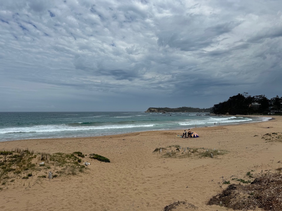
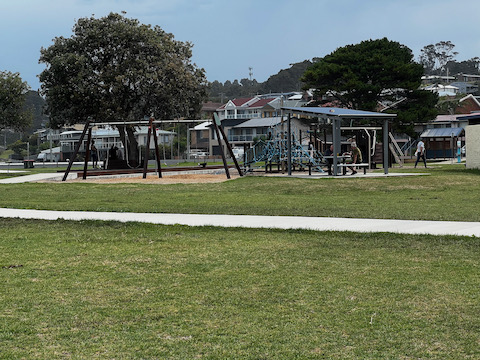
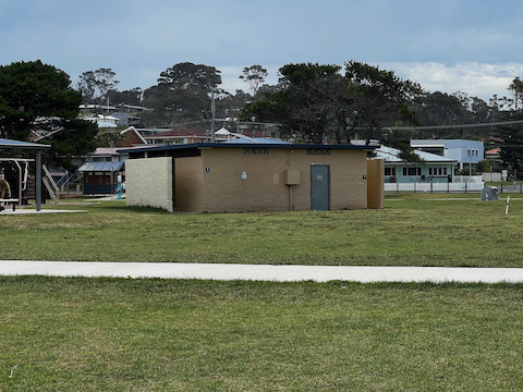
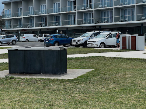
Malua Bay Beach is a favorite spot for many, and for good reason. Adjacent to a spacious grassy reserve, it offers picnic tables, barbecues, and children’s play equipment. Facilities such as toilets and showers are also provided. During the summer, the beach is patrolled for safety.
Location:
Malua Bay Beach, George Bass Dr, Malua Bay NSW 2536, Australia
Accessibility:
Disabled access is available; please contact the operator for details.
Explore the Activities in Malua Bay
Explore Malua Bay’s coastal wonders, including Lilli Pilli, Garden, and Mosquito bays. Famous for surfing and patrolled by Batemans Bay Surf Life Saving Club, Malua Bay offers hotels, shopping, and dining. Nearby, Mosquito Bay features a cafe and boat ramp. McKenzies Beach to the south is ideal for surfing, while Rosedale and Guerilla Bay offer secluded beaches and natural beauty. Venture along George Bass Drive to discover these hidden gems, away from the crowds. Don’t miss land-based whale watching from Burrewarra Point during spring in Batemans Marine Park Sanctuary Zone.
Albert Bamman Memorial Park
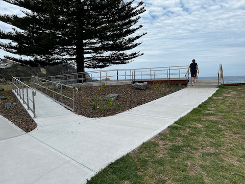
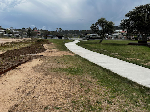
The $1.4 million beach reserve upgrade includes new footpaths and an accessible viewing platform. Further plans for playgrounds, picnic areas, and a basketball court prioritize inclusivity. Community input and grants support the project, with construction underway and temporary facilities provided during the process.
Ultimate Packing List
Click here to uncover my packing list
Tours and Activities:
- South Coast Nature Tour
- Highlights of the Eurobodalla (half day private tour)
- Self Guided E-Bike Tour Oysters, Beer & Coastal Trail
- Narooma and Tilba Valley Private Tour
- Eurobodalla Dine, Drink and Discover Brewery Tour
- The Eurobodalla Experience (Full day private tour including lunch)
- Mogo Wildlife Park
- Eurobodalla Regional Botanic Garden
- Surf The Bay Surf School
- Batemans Bay BMX Club
- Soul Tribe Studio
- Juela Mogo Jewellery Studio
- Skydive Oz
- South Coast Seaplanes
- Batemans Bay Fishing
- Merit Aviation
- Lots of Lollies of Mogo
- Birdland Animal Park
- SAGE Farmers Market
- Club Catalina Golf & Country Club
- Moruya Country Market
- Kidz Biz Playhouse & Cafe
- Batemans Bay Cycles
- Ocean Jet
Places To Get Food
- Starfish
- Kohlis Waterfront Indian Restaurant
- JJ’s at The Marina
- Ebb & Flow Restaurant
- Sawatdee Thai Restaurant
- Sams Pizza
- Club Malua
Accommodation
- Guerilla Bay Escape
- Barlings Beach Holiday Park
- Abode Malua Bay
- Ingenia Holidays Tomakin
- NRMA Broulee Holiday Park
- Batemans Bay Marina Resort
- The Oaks Ranch
- NRMA Batemans Bay Holiday Resort
Frequently Asked Questions
Why is it called Guerilla Bay?
A Tomakin Indigenous elder shared with the late Professor C.P Fitzgerald that the indigenous name “Guarella” translates to ‘big rock or big stone.’ “Gurabung” signifies stone, sometimes shortened to “guray,” pronounced “goo ray ah.” Don’t miss whale watching at Guerilla Bay!
Why are they called Guerilla?
The literal translation of the Spanish word “guerrilla” is “little war.” Often termed as “partisan warfare” or “irregular warfare,” guerrilla warfare refers to military actions conducted by small, independent forces or units in an irregular manner.
What is the geology of Eurobodalla?
Eurobodalla hosts an impressive array of geological wonders, including formations like sandstone, siltstone, shale, granite, and basalt. Exploring Eurobodalla offers a geological voyage spanning back to 510 million years, while its coastal landscape formed approximately 90 to 70 million years ago.
What are the unusual rock formations in NSW?
The Glen Innes District is famous for its distinctive rock formations, with Balancing Rock being among the most remarkable. Situated 12 kilometers south of Glen Innes on the New England Highway, this massive granite boulder sits delicately atop a 300-millimeter point amidst other geological features.
Why is it called Batemans Bay?
In 1770, during Captain James Cook’s voyage on April 22, he named the area Batemans Bay after Nathaniel Bateman, a former sailing companion. The first European encounter with the region occurred in 1797, when survivors from a shipwreck off the coast of Victoria reached the Clyde River.
What is the geology of Narooma?
Glasshouse Rocks and Australia Rock in Narooma, crafted from sedimentary chert and shale believed to date back as far as 440 million years, showcase striking chevron folds. These folds result from intense pressure, shaping the sedimentary layers into captivating zigzag formations.
If you found this article valuable, you’ll probably find my other works equally captivating.
FOLLOW ME on Facebook, Instagram, Pinterest, Tik Tok, You Tube and Twitter to see more delicious food and get all the latest updates.
 Broulee: Nature’s Tranquil Retreat on the NSW South Coast
Leave a Reply