Click here to jump to my accommodation picks in and around Seal Rocks
Check out my travel packing list for all the items you might need on
Click here to jump to my Tours and Activities
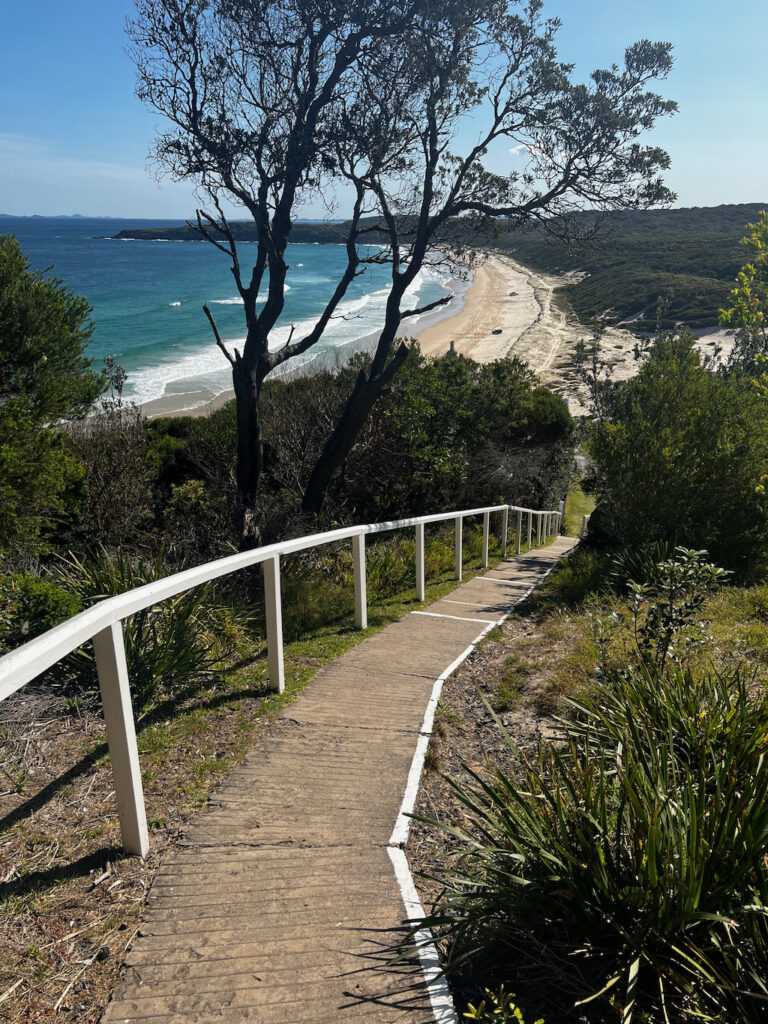
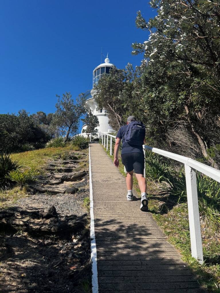
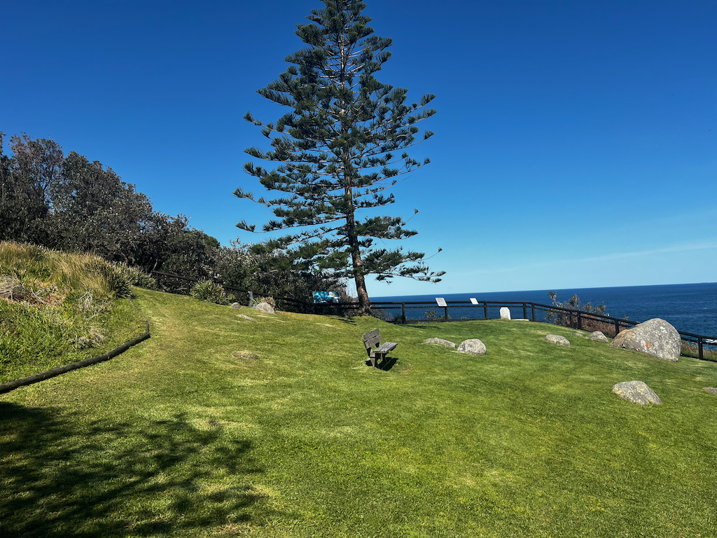
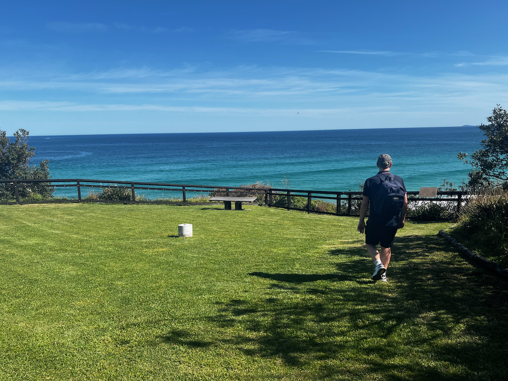
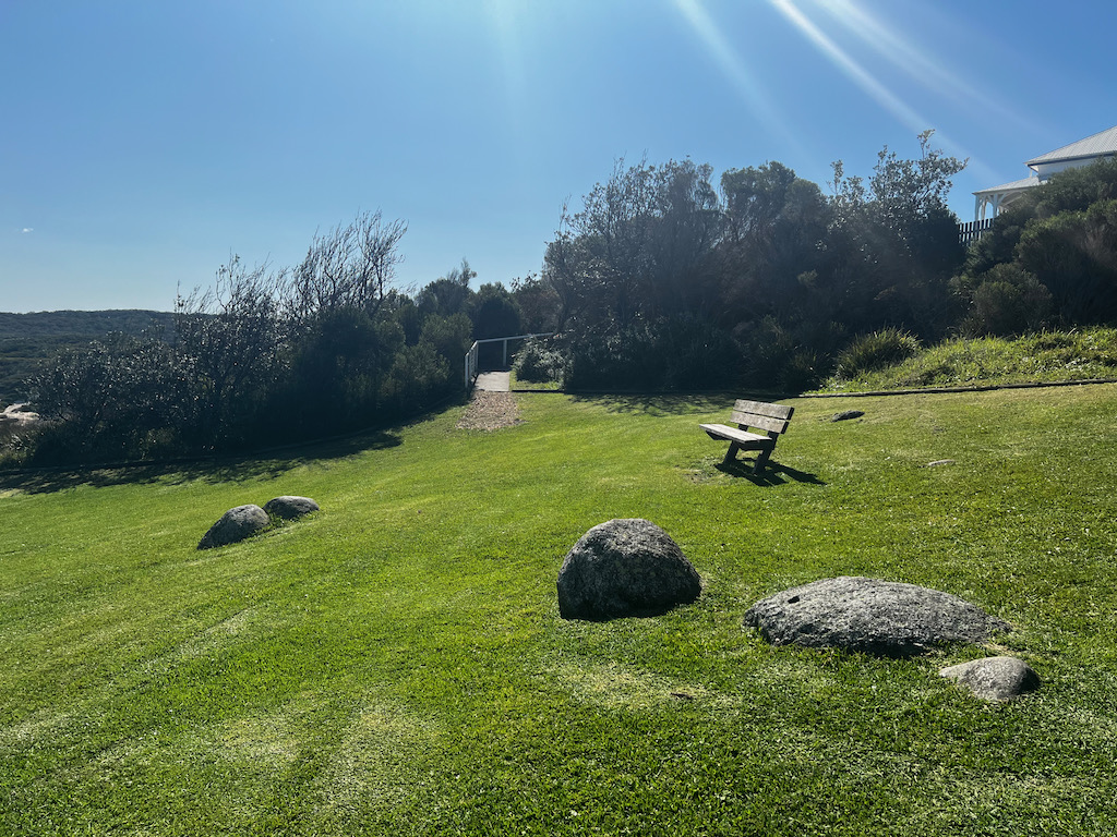
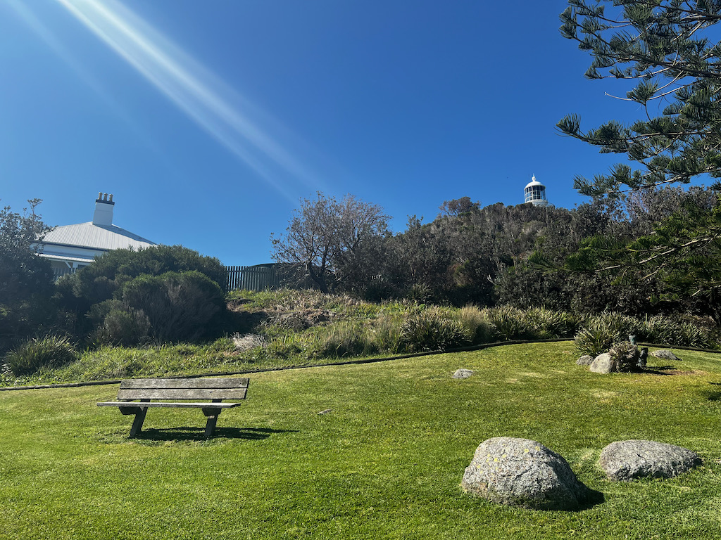
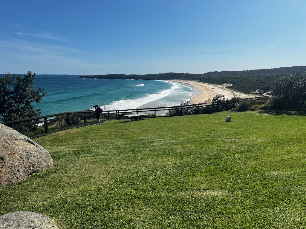
After stopping at Number One Beach in Seal Rocks we then stooped at Sugarloaf Point Lighthouse. From Number One Beach the lighthouse is on the same road but it is a narrow road where you can only fit one car and you can’t see if a car is coming along in the opposite direction. The day we visited the beach area was popular and busy but not many people went on to visit the lighthouse. There were only 6 cars in the car park and we only saw 4 people around the lighthouse. It’s a flat walk to the start of the lighthouse track which is only 800 metres, its on a paved road and there is a toilet half way, the walk is steep up to lighthouse so hold onto the hand rail going up and coming back down, at the first building we took the path on the right which lead to a open grass area with two seats and we saw whales in distance swimming past, so don’t forget your zoom camera and binoculars.
Exploring Sugarloaf Point Lighthouse: A Coastal Icon at Seal Rocks, NSW
Perched on the dramatic cliffs of Seal Rocks, New South Wales, Sugarloaf Point Lighthouse is a captivating destination for history enthusiasts, nature lovers, and adventurers alike. Built in 1875, this heritage-listed lighthouse stands as a testament to Australia’s maritime history, guiding ships safely along the coastline for nearly 150 years.
A Scenic Journey to Sugarloaf Point
Getting to Sugarloaf Point Lighthouse is an adventure in itself. Located within the pristine surroundings of Myall Lakes National Park, the site is accessible via a short, well-maintained walking track. As you ascend, you’ll be greeted by panoramic views of the ocean and rugged coastline, making the journey as memorable as the destination.
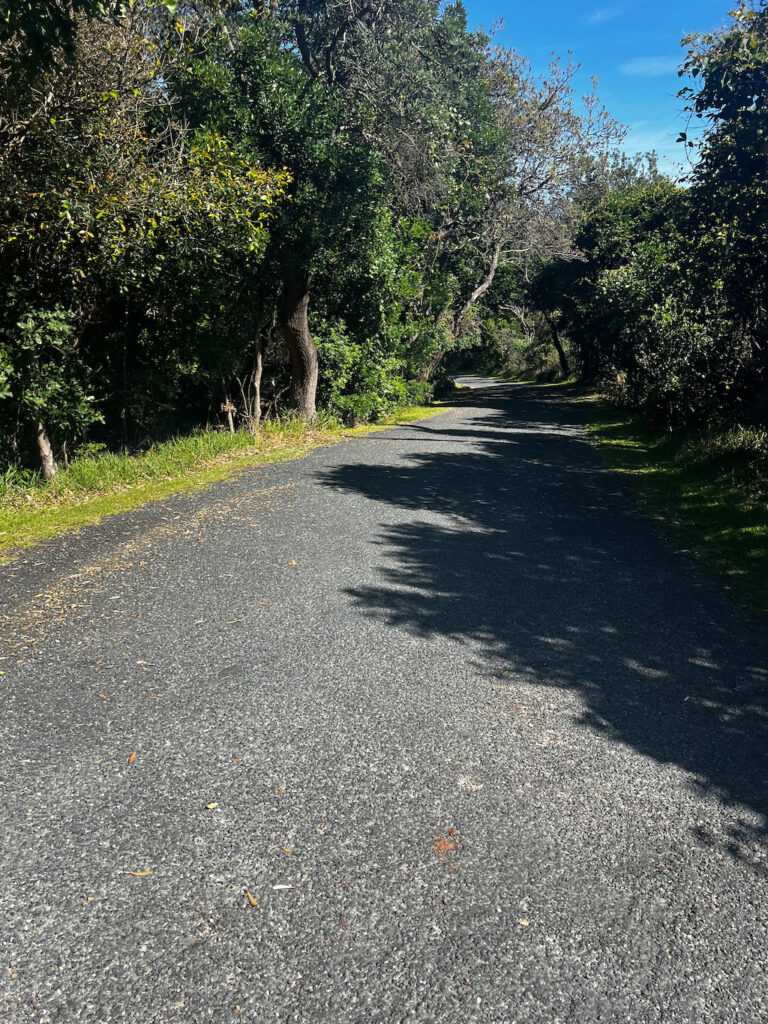
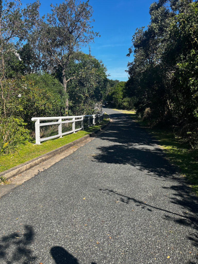
The first three photos below are of the road that leads into the car park. I wasn’t able to get a photo of the narrow part of the raod as we couldn’t pull over to stop and take a photo.
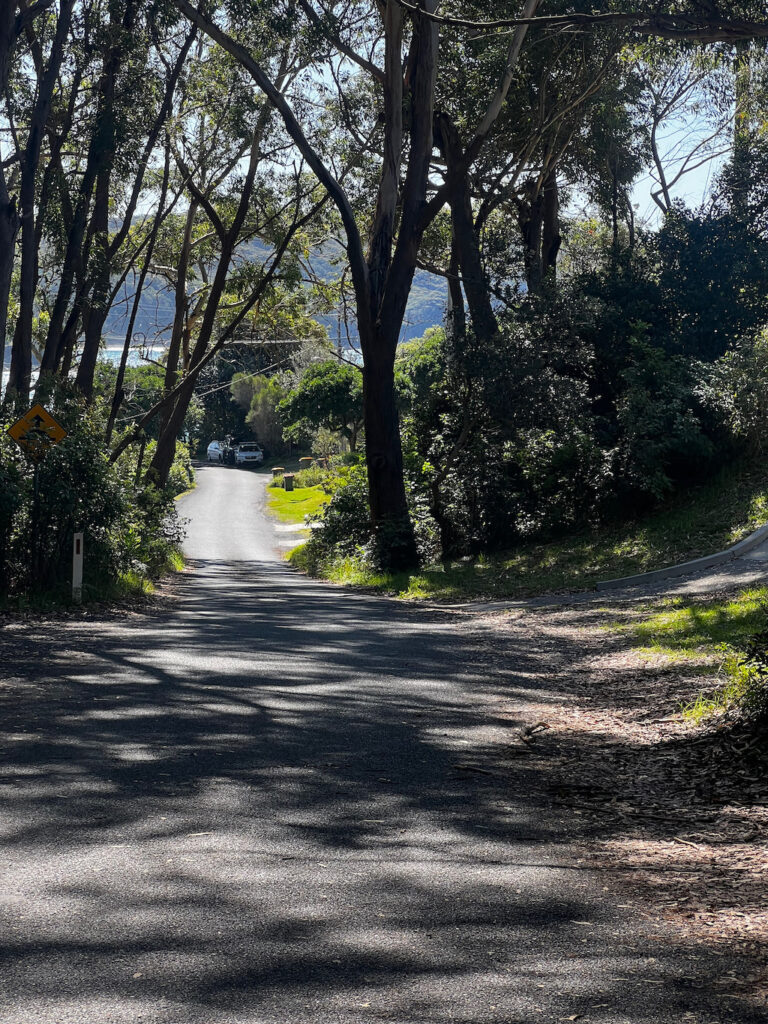
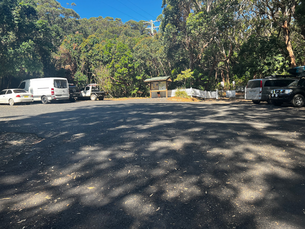
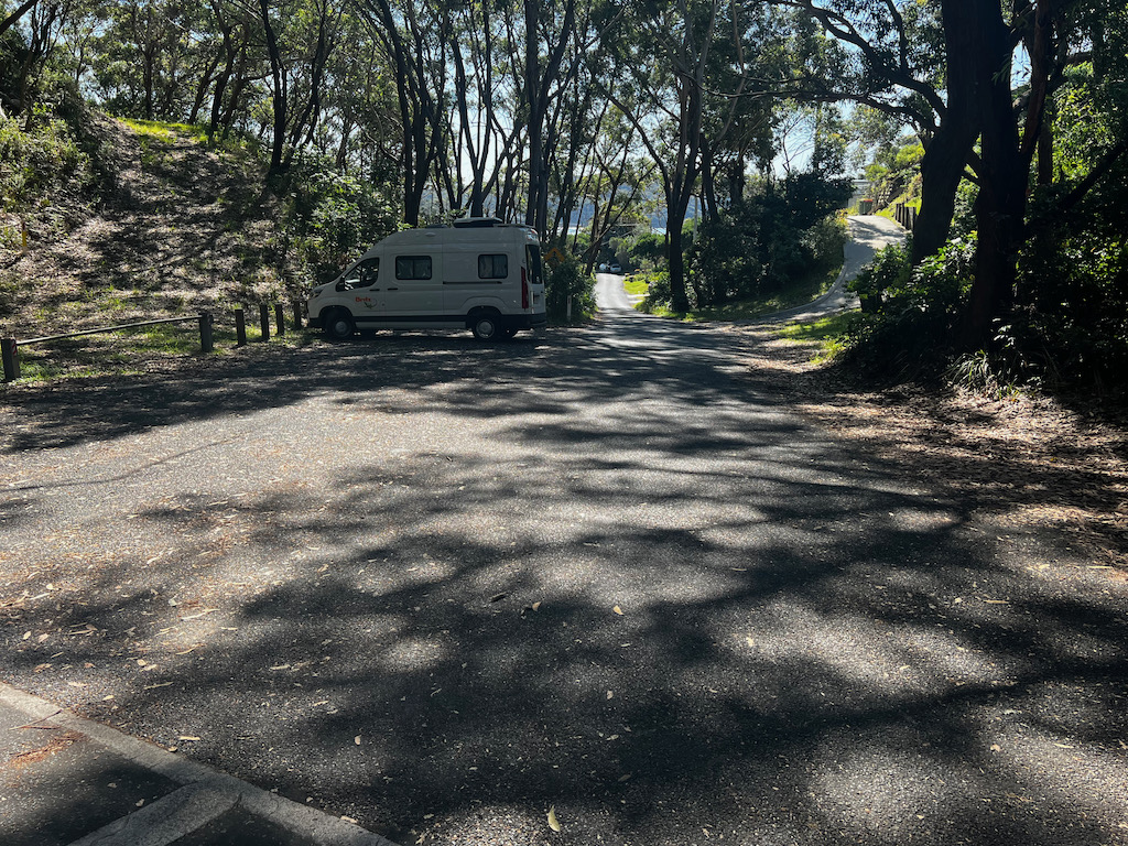
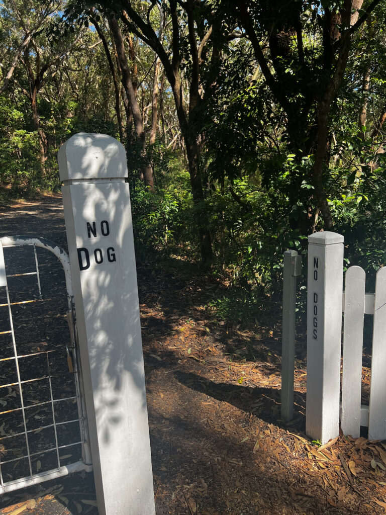
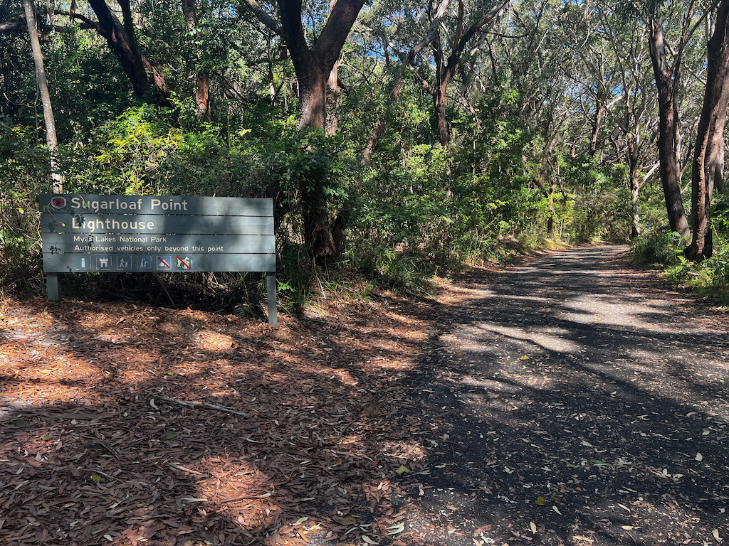
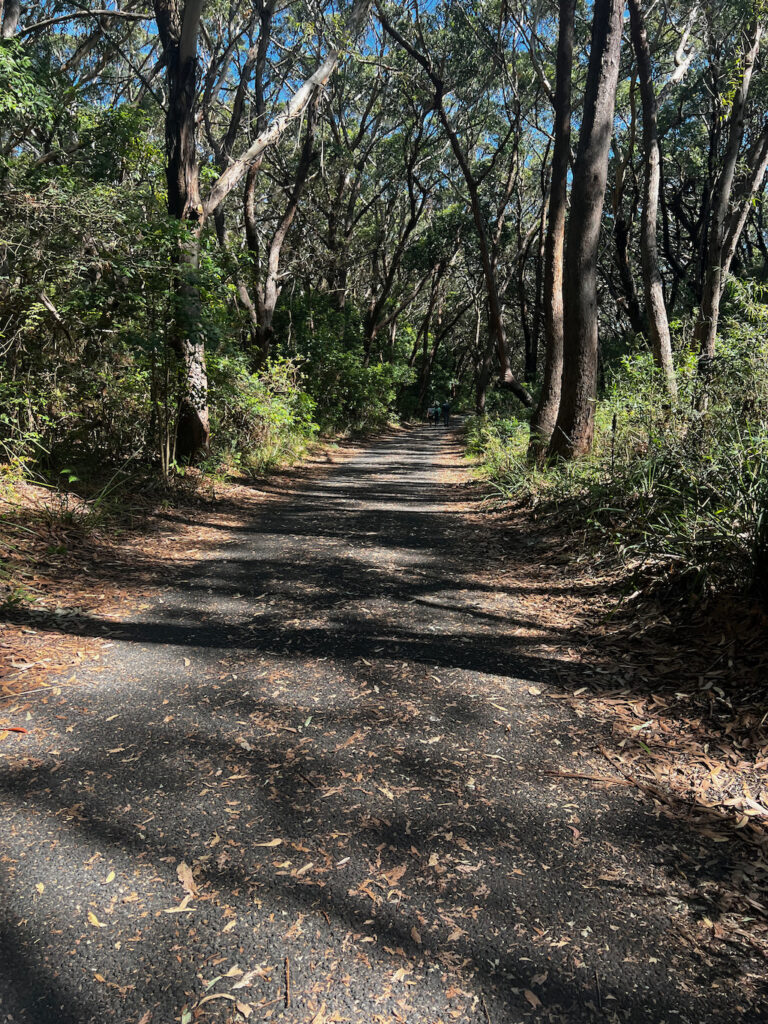
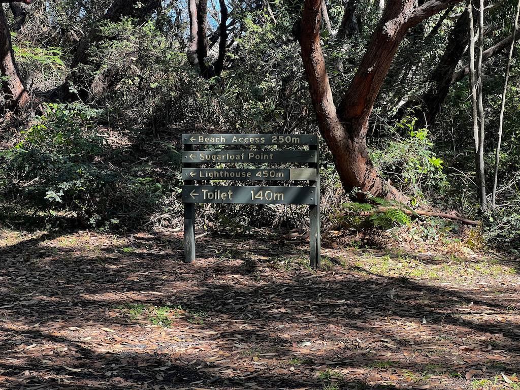
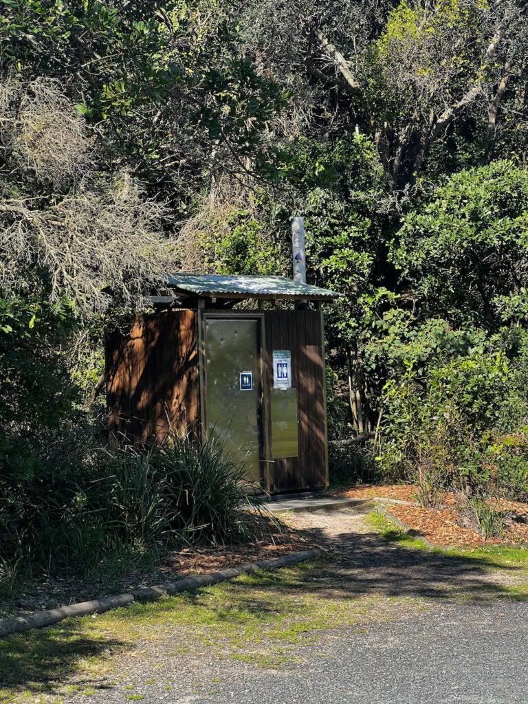
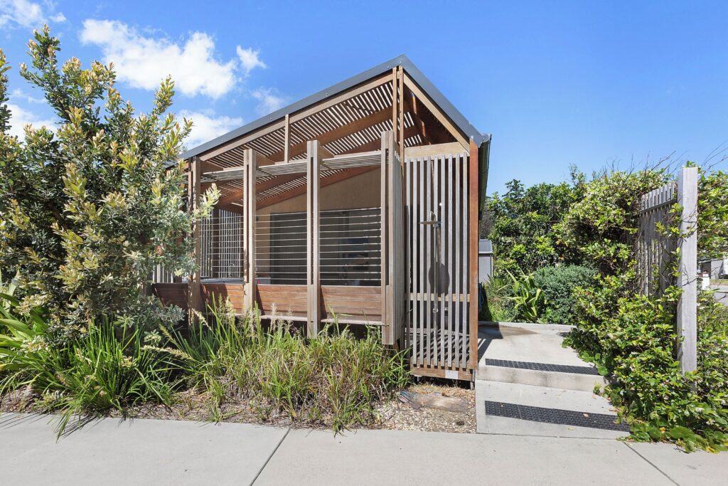
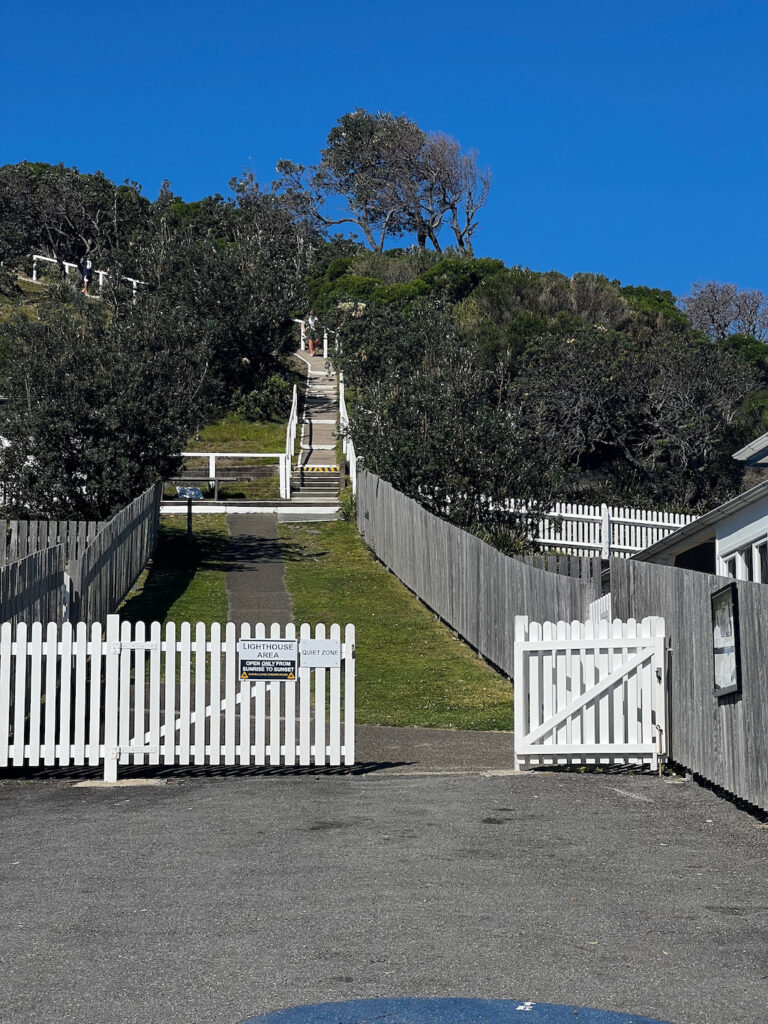
The photos below are of the entrance and the start of the track. The first photo in the last row of photos is the toilet which is half way along the walk.

Explore this property for your next holiday.
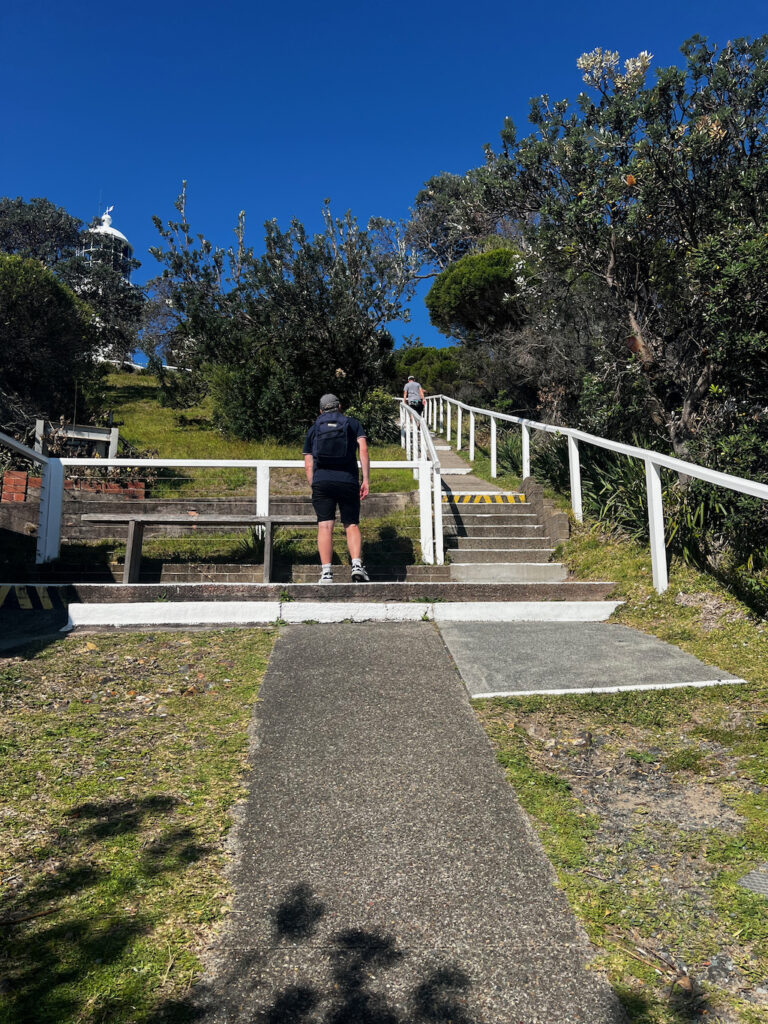
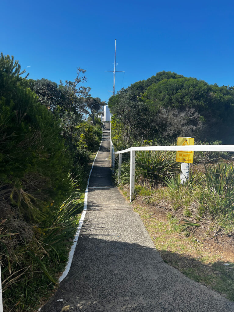
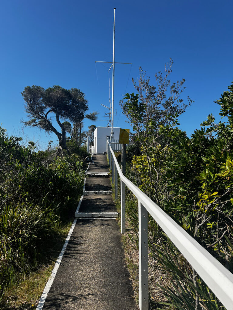
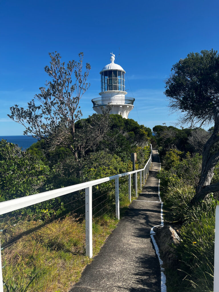
The photos below are of the next section of the walking track.
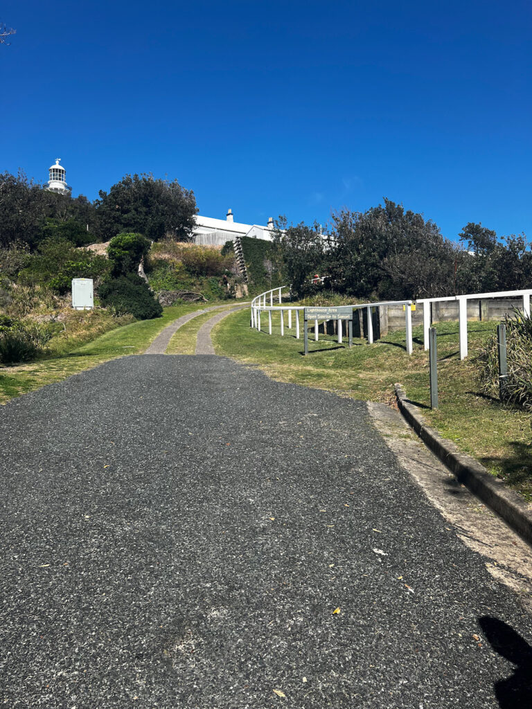
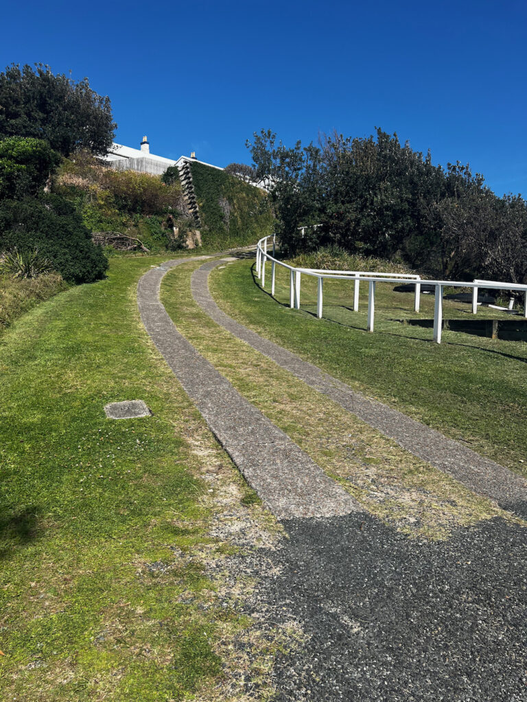
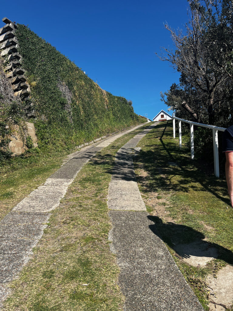
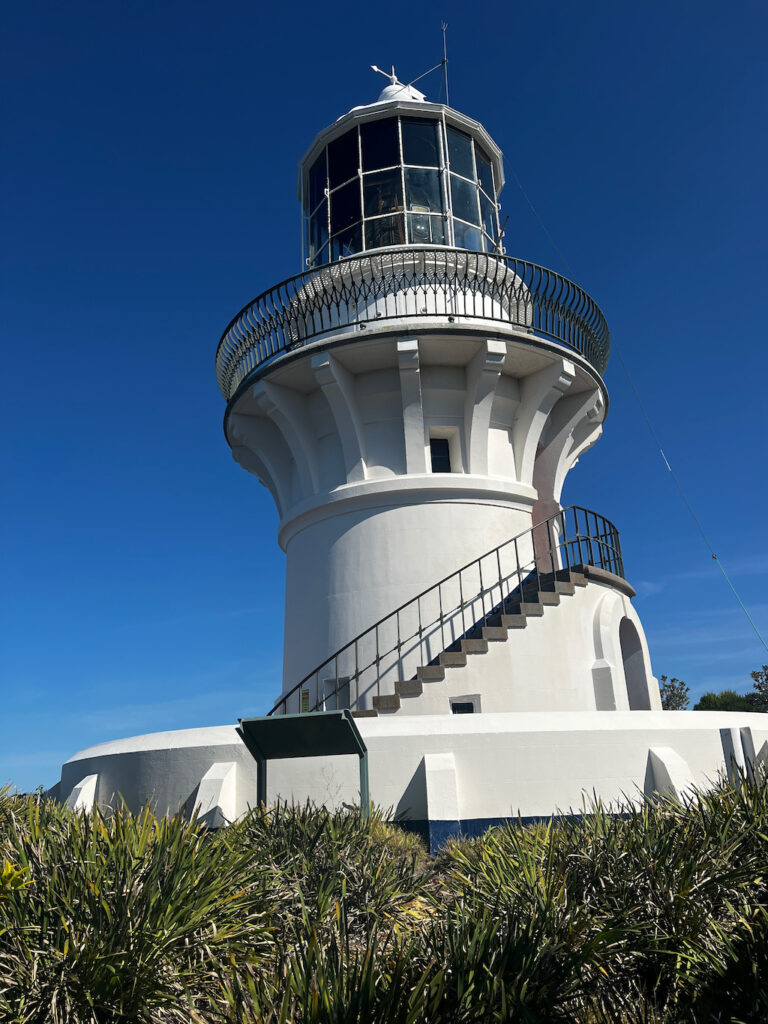
Once you pass the historical buildings you will reach the first photo in the gallery below that is a steep walk up hill to reach the lighhouse. I stopped a few times walking up the hill to catch my breath and to rest before continuing on. The walk going back down is easier, there is a handrail that you can hold onto when walking up or down if you need to use it.
History and Significance
Sugarloaf Point Lighthouse is one of the oldest lighthouses in New South Wales, designed by the Colonial Architect James Barnet. It was constructed to address the increasing number of shipwrecks along the treacherous coastline, particularly around Seal Rocks. The lighthouse remains operational to this day, its original lens still casting a beacon of light to guide mariners through the night.
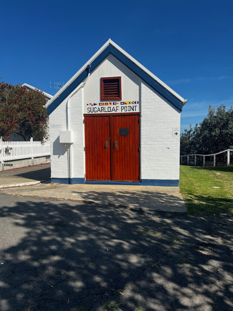
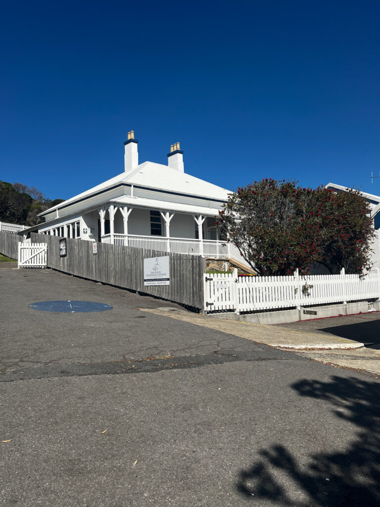

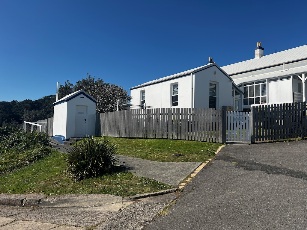
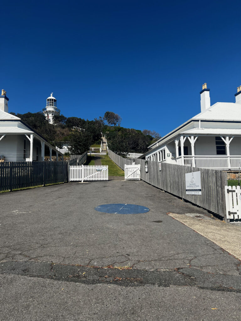
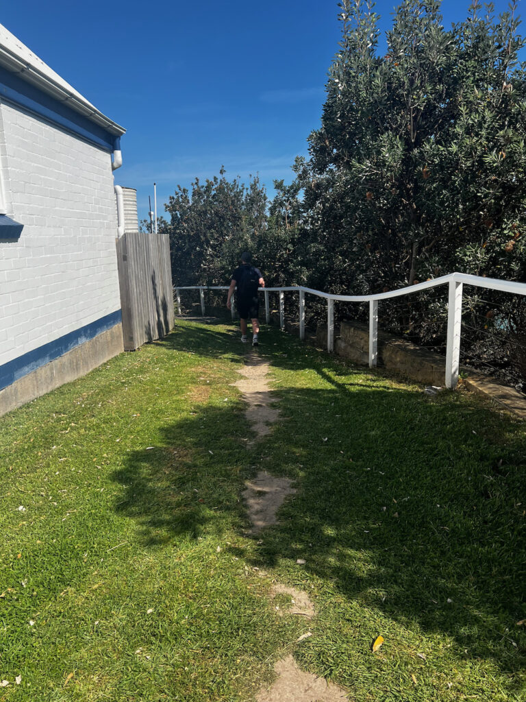
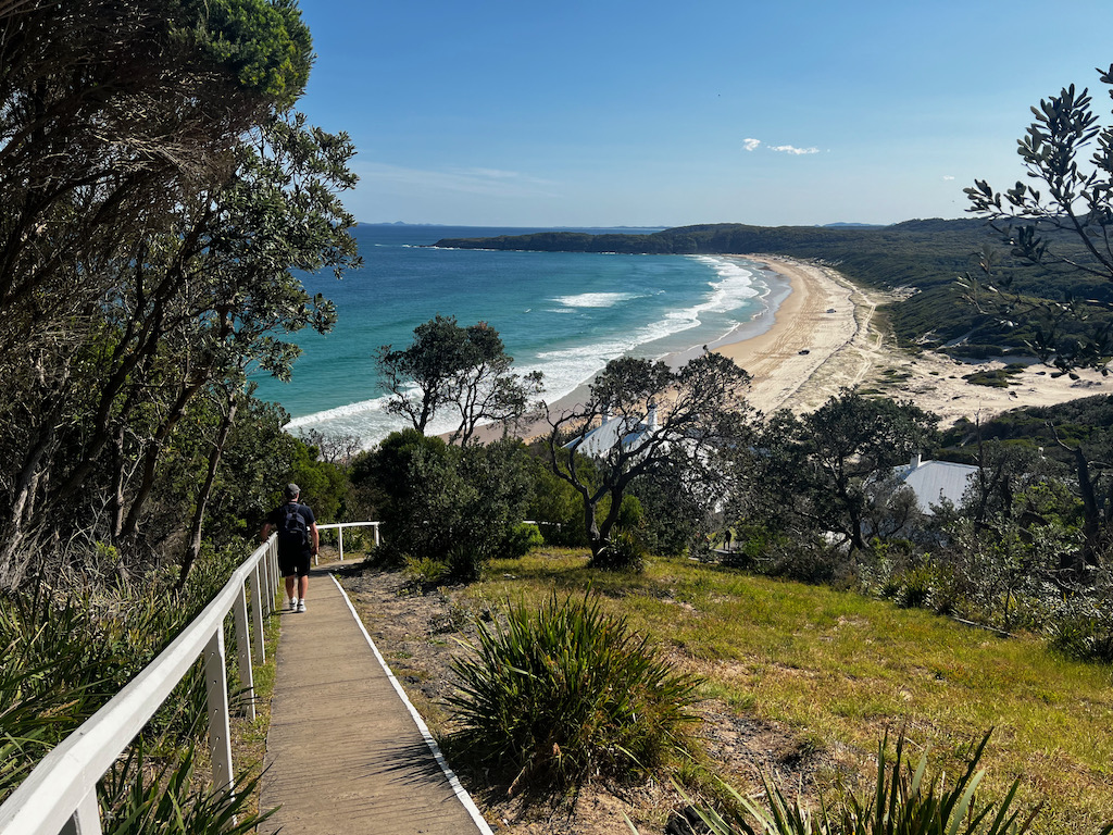
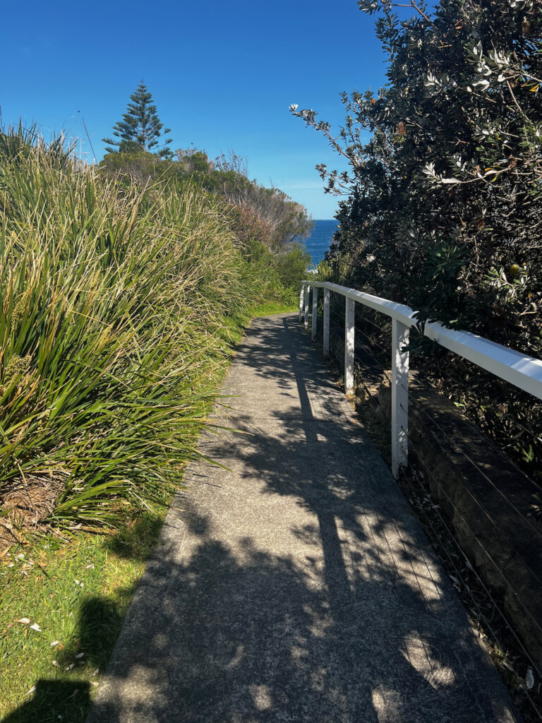
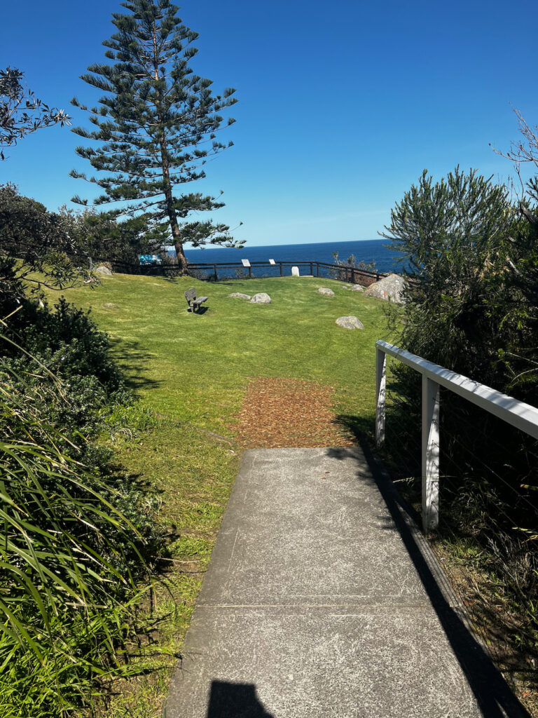
If you follow the path that is next to the first buiding in the photos above, its the bottom right one with the grass and path. The path leads to this big open grass area in the photos below, we saw whales passing through in the distance. So don’t forget your binoculars and camera.
Stunning Views and Wildlife Encounters
From the lighthouse grounds, visitors are treated to sweeping views of the Pacific Ocean. It’s a prime spot for whale watching during migration season (May to November) and a great vantage point to observe playful dolphins in the surf below. Birdwatchers will also appreciate the diverse range of seabirds that call this area home.
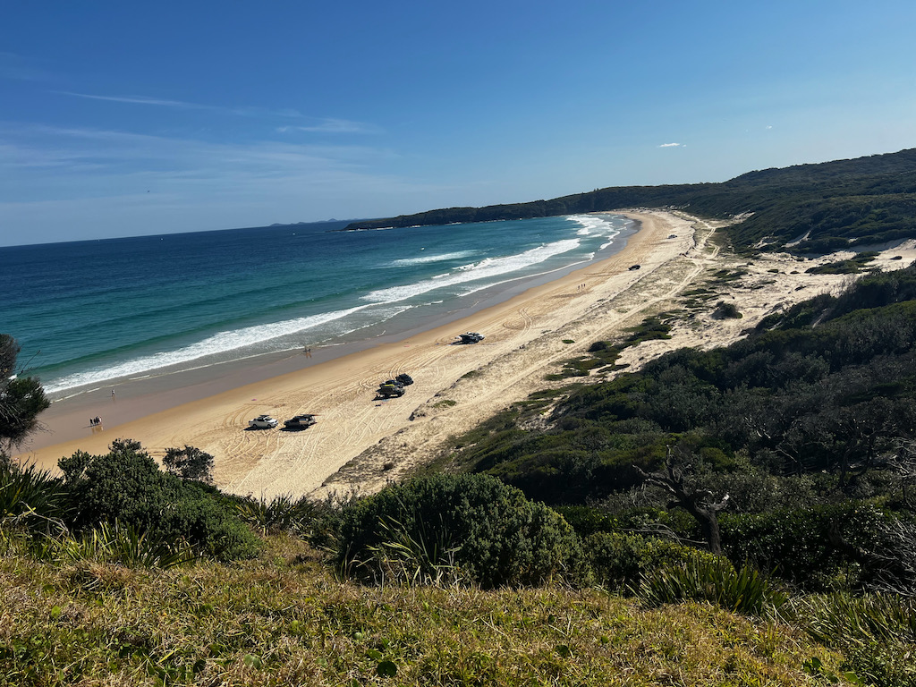

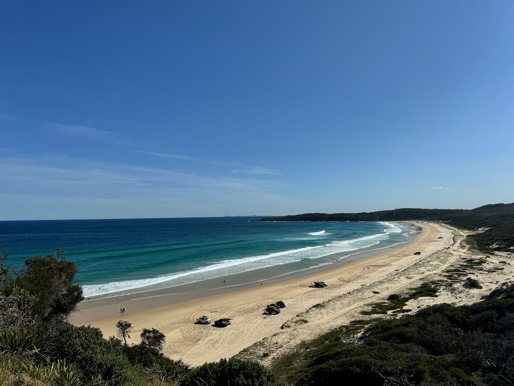
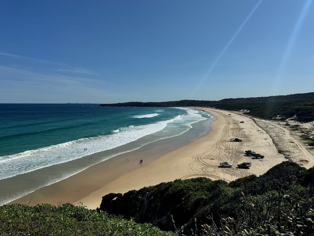
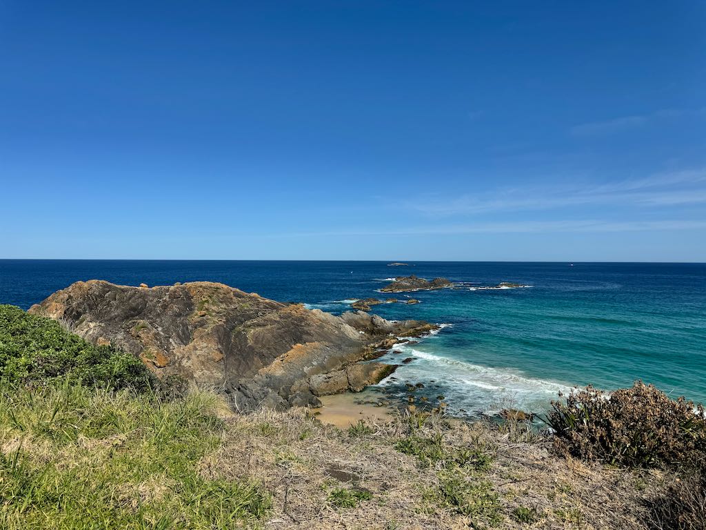
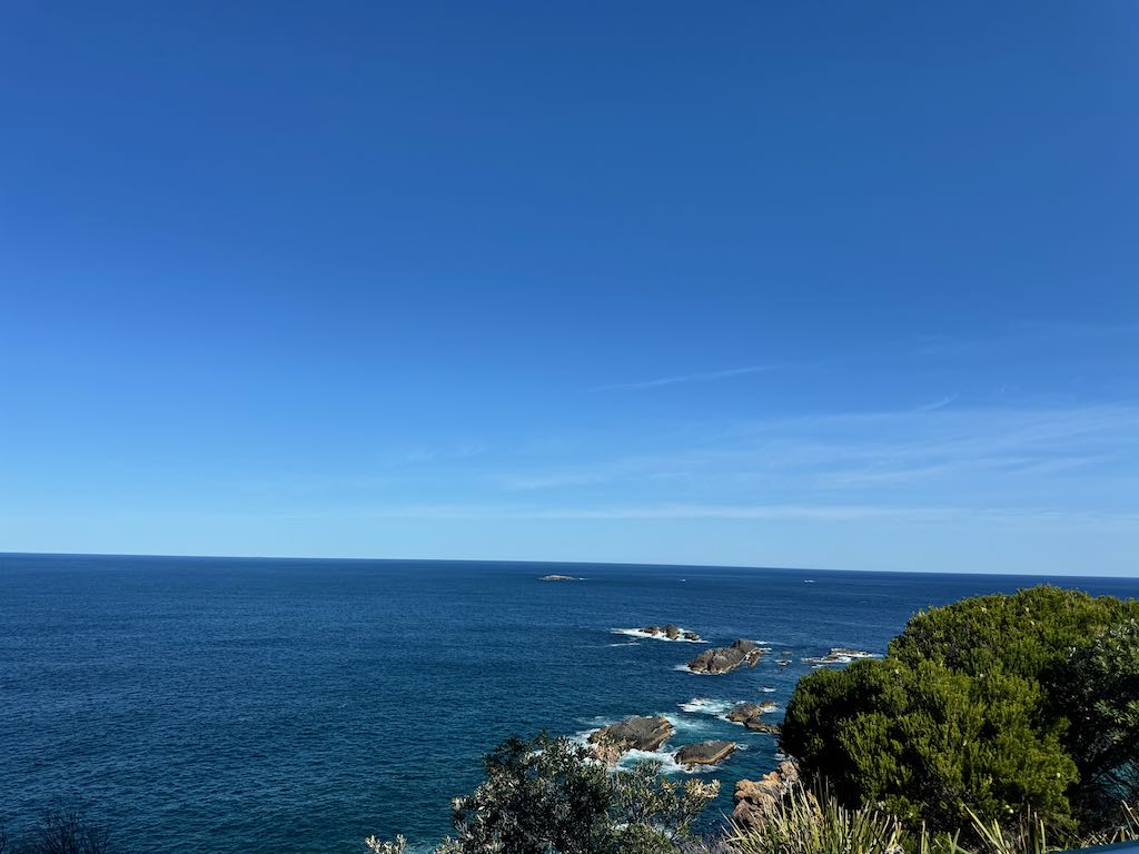
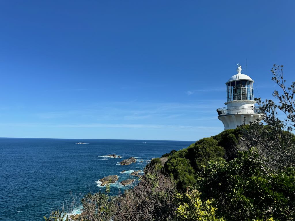
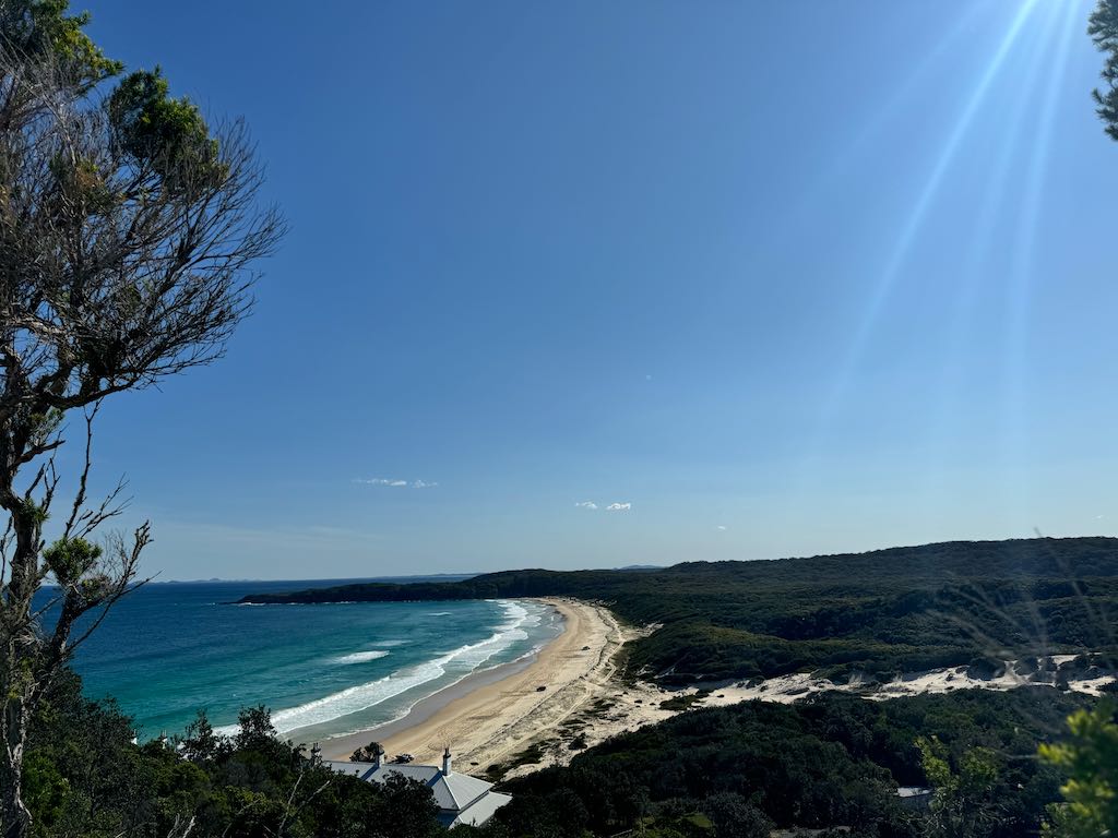
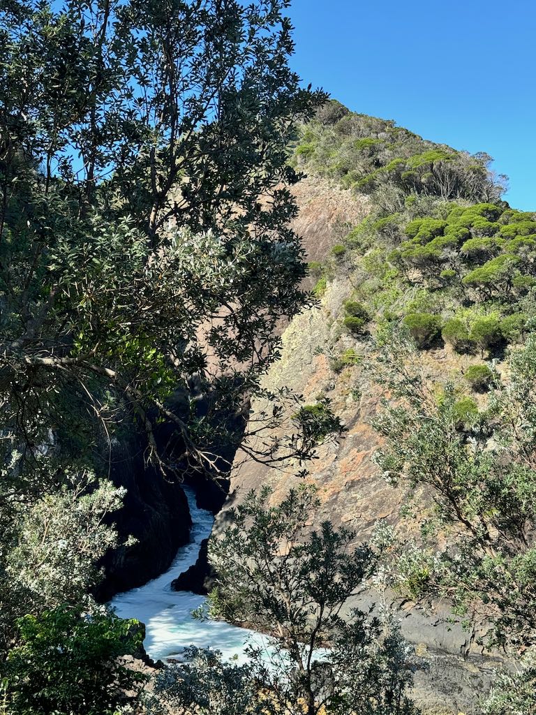
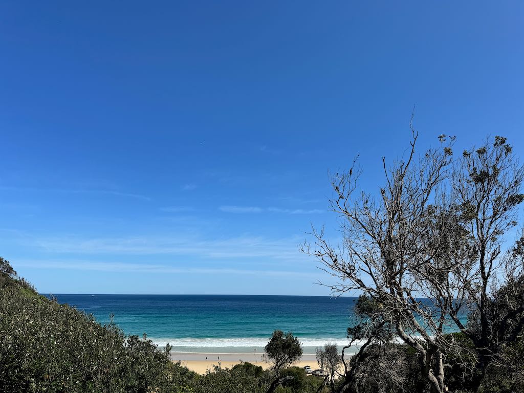
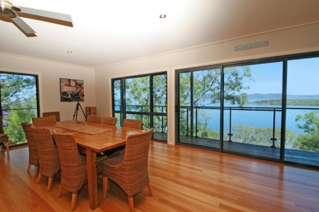
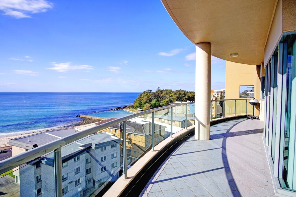
Wouldn’t it be wonderful to stay here and enjoy this amazing view?
Exploring the Surroundings
Beyond the lighthouse, the Seal Rocks area is a haven for beachgoers, surfers, and snorkelers. Number One Beach, Treachery Beach, and Boat Beach offer pristine sands and crystal-clear waters perfect for relaxing or adventuring. The nearby Myall Lakes National Park provides opportunities for kayaking, hiking, and camping amidst serene natural beauty.
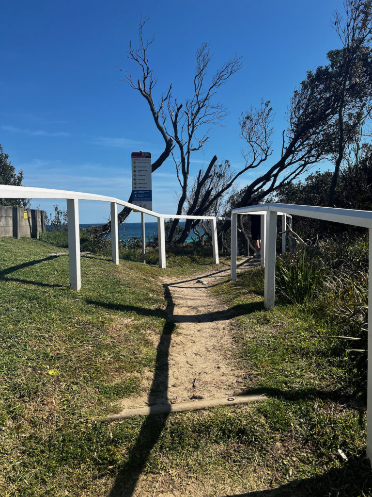
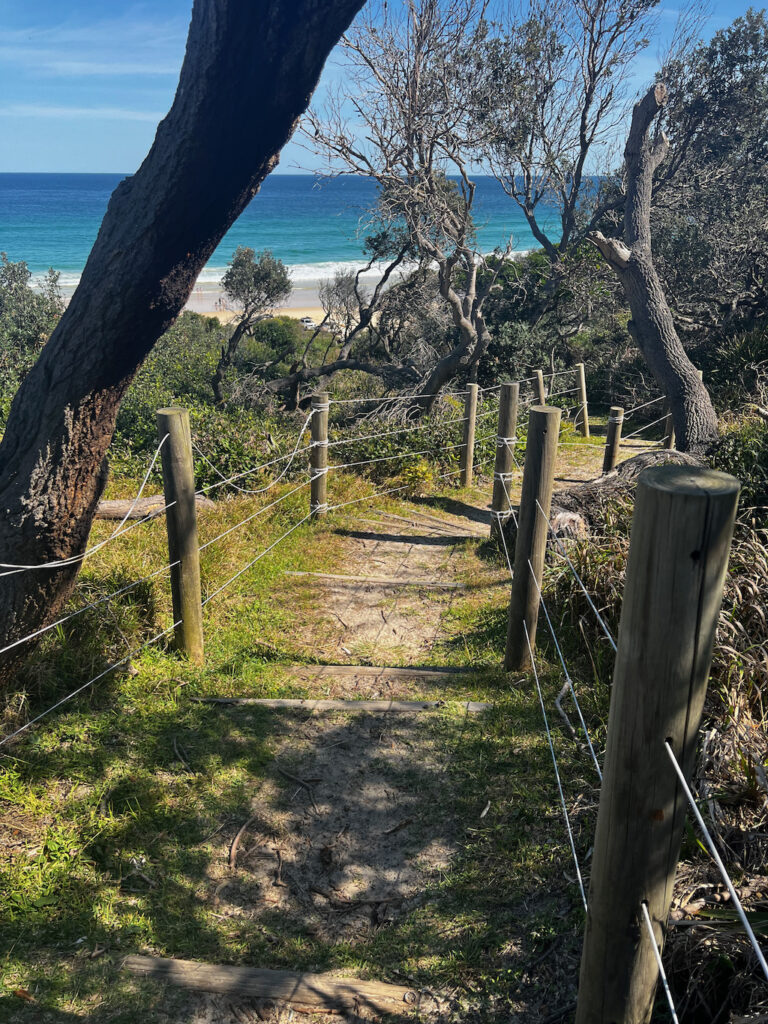
The path in the photos below leads to Lighthouse Beach, we didn;t have time to walk down to the beach.
Visitor Information
Sugarloaf Point Lighthouse is open to visitors year-round. While the interior of the lighthouse is not typically accessible to the public, the exterior and surrounding grounds are free to explore. Guided tours are occasionally available, offering deeper insights into the lighthouse’s history and operation.
Worimi Country and Cultural Heritage
Myall Lakes National Park lies within Worimi Country, holding immense cultural significance to the Worimi People. The diverse flora and fauna within the park contribute to their cultural identity and spiritual connection to the land. Evidence of Aboriginal heritage, including scarred trees, campsites, and middens, highlights over 4,000 years of continuous occupation. Dark Point, a site of particular cultural importance, is part of a declared Aboriginal Place, managed in consultation with the Worimi community.
Historical Highlights Timber harvesting began in the area in the early 19th century, leading to the establishment of settlements and a thriving fishing industry that continues today. Conservation efforts gained momentum in the late 1960s, culminating in the declaration of Myall Lakes National Park in 1972, following a contentious battle to protect its unique natural and cultural values.
A Haven for Biodiversity Covering 48,000 hectares, Myall Lakes National Park is home to 280 bird species, including migratory birds protected under international agreements. It safeguards over 40 endangered plant and animal species and represents nearly one-third of the flora and fauna found along the NSW coast. To preserve this biodiversity, pets are not permitted within the park.
Significant Wetlands The park features 10,000 hectares of wetlands, forming the largest natural brackish lake system on the NSW coast. These wetlands, recognized under the Ramsar Convention as “Wetlands of International Importance,” are vital ecosystems teeming with life.
Ancient Melaleuca Trees A remarkable feature of the park is the ancient melaleuca trees (paperbarks) lining the lake edges. These striking trees, with their white, papery bark and sprawling limbs, can live for up to 300 years, adding to the park’s timeless beauty.
Protecting Natural Wonders Myall Lakes National Park preserves a rich array of landscapes, including beaches, remnants of littoral rainforest, and extensive forest catchment areas, ensuring the protection of its extraordinary natural heritage for generations to come.
Camping
Myall Lakes National Park offers some of the most exceptional and varied car and boat-based camping experiences on the NSW coast.
- Yagon Campground: Ideal for car-based camping within the park.
- Nearby Options: Seal Rocks Camping Reserve (managed by Great Lakes Council) and Treachery Camp (privately operated) also provide excellent camping facilities close to Seal Rocks.
Sightseeing and Picnicking
- Explore secluded beaches and rugged headlands.
- Visit the historic Sugarloaf Point Lighthouse for breathtaking views.
- Drive through the park’s northern and western forests to see the towering Eucalyptus grandis, the tallest tree species in NSW.
- Relax at lakeside or forest picnic spots, with gas BBQ facilities available at Neranie and Yagon campgrounds.
Water-Based Activities
- Enjoy boating, canoeing, and swimming in the park’s network of lakes and rivers.
- Surf or relax on the beaches, many of which are patrolled during peak seasons.
- For a safe and calm swimming experience, head to the lakes.
Beach Four-Wheel Driving
Certain beaches within Myall Lakes National Park are accessible to four-wheel-drive vehicles (refer to the park map). Please note:
- Seasonal closures may occur for safety and the protection of threatened species.
- Vehicles are not allowed from Treachery Headland south to Big Gibber.
Essential Visitor Information
- Camping and Vehicle Entry Fees: These help maintain park facilities. Visit www.nationalparks.nsw.gov.au for more details.
- Safety Note: Trees in this park may unexpectedly drop limbs or collapse. Exercise caution to avoid injury.
Protecting the Park
- Leave pets at home—they are not permitted.
- Never feed native wildlife.
- Collect firewood outside the park to protect animal habitats.
- Dispose of rubbish responsibly or take it home if no bins are provided.
For further assistance, contact the Great Lakes Area Office at (02) 6591 0300.
Welcome to Worimi Country
Myall Lakes National Park is situated on the traditional lands of the Worimi People. Its diverse landscapes, plants, and animals are deeply woven into the spirituality and cultural identity of the Worimi People.
The park holds significant Aboriginal heritage, including scarred trees, campsites, middens, and burials. Dark Point, a site occupied for over 4,000 years, reveals a wealth of Aboriginal objects due to shifting sands. Recognized as a declared Aboriginal Place, Dark Point is managed in partnership with the Worimi Aboriginal Community to honor its cultural importance.
Protecting Middens at Dark Point
The middens at Dark Point are protected cultural sites. Please respect the area by not disturbing these significant landmarks.
A Changing Landscape
The 1800s marked the arrival of European settlers, initiating timber harvesting and the establishment of small mills and settlements around the lakes. Isolated farms were soon founded by pioneering families, and by the early 1900s, fishing became a thriving industry that persists to a degree today.
In the late 1960s, mineral sand mining began, sparking debates about conserving the region’s unique values. These efforts culminated in the declaration of Myall Lakes National Park in 1972 to preserve its rich natural and cultural heritage.
A Haven for Biodiversity
Spanning 48,000 hectares, the park supports:
- 280 bird species, including migratory species protected by international agreements.
- Over 40 endangered plant and animal species.
- Nearly one-third of all flora and fauna found along the NSW coast.
To safeguard native wildlife, pets are not permitted in the park.
Wetlands of International Importance
The park boasts 10,000 hectares of wetlands, forming the largest natural brackish (fresh and saltwater) lake system on the NSW coast. These wetlands, recognized under the Ramsar Convention, are celebrated as “Wetlands of International Importance.”
Ancient Melaleuca Trees
A standout feature of the park is its ancient melaleuca trees (paperbarks), with their distinctive white, papery bark and sprawling limbs. Many of these majestic trees, which line the lake’s edges, are over 300 years old.
Outstanding Values of Myall Lakes
Myall Lakes National Park protects:
- The lakes and foreshore areas of the Myall Lakes system.
- Beaches, remnants of littoral rainforests, and extensive forest catchments.
The park’s unique combination of cultural and natural wonders makes it an exceptional destination for visitors and an invaluable conservation area for future generations.
Take a look at this property for your next getaway.
Discover the Sugarloaf Point Lighthouse
Take a short 660m walk to the iconic Sugarloaf Point Lighthouse, nestled within Myall Lakes National Park. Stroll along the path to experience the beauty of this historic site or explore the nearby Lighthouse Beach.
Plan Your Visit
- Access Hours: Open from sunrise to sunset; closed from dusk to dawn.
- During daylight, enjoy the steep walk to the lighthouse or the nearby lookout for stunning views.
- Note: The lighthouse buildings and cottages are not open to the public.
A Historic Landmark
Built in 1875, the heritage-listed Sugarloaf Point Lighthouse is one of ten lighthouses in NSW managed by the Department of Environment and Climate Change.
- Key features:
- 15-metre-high lighthouse tower.
- Signal house.
- Two lighthouse keeper’s cottages.
- Designed by Colonial Architect James Barnet, it ensured safe passage around Sugarloaf Point’s rocky islands.
Converted to electricity in 1966, its powerful light shines 25 nautical miles out to sea, flashing every 7.5 seconds, a unique signal for mariners navigating the NSW coastline.
Breathtaking Views and Wildlife
Perched on a rugged headland, the lighthouse offers spectacular views along the coastline. It’s a prime spot for whale watching, especially during their annual migration.
Step Back in Time
Imagine the life of lighthouse keepers and their families in the late 1800s. This site is a testament to the development of navigational aids along NSW’s “coastal highway.”
- A jetty was once constructed off Boat Beach to bring materials and supplies for the lighthouse community, contributing to the early development of Seal Rocks.
- The lighthouse was fully automated in 1997 but remains a significant cultural and heritage site.
Stay at a Lighthouse
For a truly unique experience, consider spending a night at a historic lighthouse. The charm and serenity of Sugarloaf Point make it an unforgettable getaway.
Take Your Time – Soak in the Views!
Welcome to Sugarloaf Point Lighthouse, a historic gem named by Matthew Flinders during his 1801–1803 voyage.
- Explore and Enjoy: Embark on a short but steep 100m walk to the light tower for breathtaking panoramic views.
- Wildlife Spotting: Keep an eye out for majestic white-bellied sea eagles and whistling kites, often seen soaring above the cliffs on thermal currents, hunting for fish.
- Stroll and Relax: Wander around the head keeper’s cottage to the grassy headland, where you’ll find stunning views over Seal Rocks.
- Beach Detour: On your way back, take a detour to the beach and experience a waterside perspective of this remarkable historic site.
Conservation and Accommodation
The National Parks and Wildlife Service has lovingly restored the head lighthouse keeper’s cottage and two assistant keeper’s cottages. These heritage quarters now offer a unique holiday experience.
- Booking Information: For inquiries, visit the Manager’s Office in the head keeper’s cottage or call 02 4997 6590. Please respect the privacy of guests staying in these historic accommodations.
Take your time to appreciate the natural beauty, rich history, and cultural significance of Sugarloaf Point Lighthouse.
Submarine Beach
Beneath Submarine Beach, south of this point, lie the remnants of the historic submarine K IX. Built in the Netherlands in 1922, this 64-meter (210-foot) steel vessel served in the Royal Netherlands Navy. During World War II, K IX operated in the Dutch East Indies (now Indonesia).
In 1942, as Japanese forces advanced, K IX successfully escaped to Fremantle. Later transferred to Sydney Harbour, the submarine was damaged during the Japanese midget submarine attack on 31 May 1942. In 1943, it was commissioned into the Royal Australian Navy (RAN) as HMAS K IX (Pendant number N39) for use as an anti-submarine training target. However, due to its deteriorating condition and frequent repairs, K IX was decommissioned in 1944.
In 1945, the vessel was repurposed to carry bulk fuel but ran aground 8 kilometers south of here on 8 June while being towed from Sydney, resulting in its total wreck. Limited salvage work was conducted that year, and the hull was eventually abandoned.
The area was officially named Submarine Beach in 1977, and the wreck’s remains were rediscovered by the NSW Heritage Office in July 1999. The site is now protected under the NSW Heritage Act 1977.
This plaque, unveiled on 23 March 2001 by the Deputy Premier of NSW and Minister for Urban Affairs and Planning, The Hon. Dr. Andrew Refshauge MP, commemorates the site’s history.
Wouldn’t it be wonderful to stay here and enjoy this amazing view?
Welcome to Port Stephens-Great Lakes Marine Park
The Port Stephens-Great Lakes Marine Park (PSGLMP) is a multiple-use marine reserve designed to protect marine habitats and species while supporting a variety of sustainable activities.
Seal Rocks is surrounded by vibrant rocky reefs that host an incredible array of marine life, including whales, dolphins, and turtles. Among these are several threatened species, such as the grey nurse shark, black cod, and marine turtles. During their annual migration, humpback whales also pass through this region, adding to the area’s rich biodiversity.
Steeped in natural beauty and history, Seal Rocks is home to remote beaches, heritage-listed sites like Sugarloaf Point Lighthouse, and areas of cultural and spiritual significance.
Enjoying Your Marine Park To help preserve this pristine environment, visitors are encouraged to:
- Take all rubbish with them.
- Report any suspicious or illegal activities.
Protecting Marine Life Special measures are in place to safeguard the grey nurse sharks near Seal Rocks, including Sanctuary Zones (marked in pink) with specific rules and regulations. Fishing restrictions, gear limitations, and bag limits under the Fisheries Management Act 1994 also contribute to protecting this unique marine ecosystem.
To report illegal fishing, please contact the NSW Fisheries Watch Phoneline: 1800 025 536.
For more information on the marine park, visit: www.mpa.nsw.gov.au
Sugarloaf Point Lighthouse
Sugarloaf Point Lighthouse was the first in a series of lighthouses designed by colonial architect James Barnet. Construction began in 1874 and included the light tower, keeper’s cottages, a jetty, and a road from Bungwahl, costing over £13,000.
Both the tower and cottages were constructed using rendered brick with iron roofs. Materials were shipped from Sydney and transported to the site by bullocks from the nearby jetty. The lighthouse tower, standing 6.4 meters tall with an internal diameter of 3.4 meters, did not require significant height due to its position atop the towering cliffs.
Barnet’s lighthouses were distinctively styled and easily recognizable, with notable examples including Smoky Cape, Green Cape, Point Perpendicular, and Barrenjoey.
Life at the Lighthouse
The keepers’ work was demanding and required constant vigilance. Duties included lighting the lamp 15 minutes before sunset and maintaining it until sunrise, ensuring the light remained clear and bright by cleaning the reflectors daily.
The three keepers rotated shifts throughout the night, working four-hour rotations from dusk to dawn. Their responsibilities also extended beyond the lantern, involving semaphore communication, record-keeping, gardening, painting, and general maintenance. They were often the only people available to assist shipwreck survivors.
Remarkably, the lantern housing visible today is the original installed in 1875. It stands as a testament to 19th-century engineering, continuing to function over 140 years later. How many other pieces of 19th-century equipment can claim such longevity?
Seal Rocks
Seal Rocks, located approximately 3 km offshore, is a distinctive feature visible from the coast. The rocky islands and reefs around Seal Rocks have long been recognized as a critical navigational point. Ships traveling from Sydney would often pass the area in darkness, marking it as an important landmark.
Originally, plans were made to place a lighthouse on the northernmost rock, but these were abandoned after a visit by the Marine Board in 1873, when they were unable to land on the rocky island. As a result, the lighthouse at nearby Sugarloaf Point was designed to emit two distinct beams.
The primary light is a sweeping white beam that extends more than 40 km out to sea, flashing every 7.5 seconds. The secondary light is a fixed red beam, directed at the surrounding rocky outcrops.
A Dangerous Coastline
In the late 19th century, Francis Hixson oversaw the development of a major lighthouse program in New South Wales. The Sugarloaf Point Lighthouse was the first built as part of this ambitious initiative, which spanned 30 years and also saw the installation of lights at South Solitary (1880), Green Cape (1883), Smoky Cape (1891), and Point Perpendicular.
Each lighthouse along the coast was designed with a unique flashing pattern, allowing mariners to accurately identify their location at night.
Today, many of these historic lighthouses are managed by the NPWS. Be sure to visit them during your travels.
A Memorable Coastal Escape
Whether you’re drawn by its historical significance, breathtaking views, or the allure of Seal Rocks’ unspoiled beauty, Sugarloaf Point Lighthouse is a destination that leaves a lasting impression. Be sure to bring your camera to capture the stunning scenery and create memories of this remarkable coastal landmark.
Nearest Attractions to Sugarloaf Point Lighthouse
Number One Beach
Located at the entrance to Seal Rocks, this stunning beach offers golden sands, clear waters, and excellent opportunities for swimming, surfing, and sunbathing.
Treachery Beach
A popular spot for surfers, this beach is known for its powerful waves and picturesque surroundings. It’s also a great spot for a quiet walk or a picnic.
Boat Beach
A sheltered cove near Seal Rocks, perfect for snorkeling, swimming, and exploring marine life in calm waters.
Myall Lakes National Park
This expansive national park surrounds Sugarloaf Point, featuring walking trails, kayaking opportunities, and serene lakeside camping spots.
Seal Rocks Village
A quaint coastal village with a relaxed vibe, ideal for exploring local shops, enjoying a meal, or simply soaking in the scenic beauty.
Little Island and Big Island
Just offshore, these islands are visible from the lighthouse and are home to vibrant marine ecosystems, attracting divers and snorkelers.
Yagon Campground
Situated within Myall Lakes National Park, this campground provides a rustic setting with easy access to the beach and nearby hiking trails.
Wallingat National Park
Located a short drive away, this park offers more bushwalking opportunities, scenic lookouts, and tranquil picnic areas.
Sandbar and Smiths Lake
A peaceful spot for fishing, boating, and swimming, this area is surrounded by natural beauty and offers plenty of recreational activities.
Pacific Palms Beaches
A collection of pristine beaches, including Boomerang Beach and Elizabeth Beach, located within a 30-minute drive, perfect for a day trip.
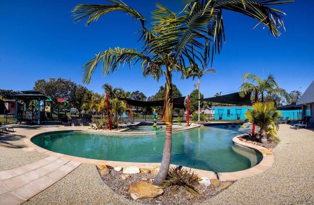
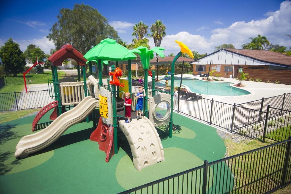
Explore this property featuring a playground and pool.
Nearest Towns to Sugarloaf Point Lighthouse
Seal Rocks (Approx. 1 km)
The closest village, Seal Rocks is a charming coastal community known for its relaxed vibe, pristine beaches, and proximity to the lighthouse.
Bulahdelah (Approx. 40 km)
A small town offering essential services, Bulahdelah serves as a gateway to Myall Lakes National Park and provides accommodation, dining, and shopping options.
Forster-Tuncurry (Approx. 60 km)
A vibrant twin-town area known for its beautiful beaches, waterways, and thriving tourism scene. It’s a great place for dining, shopping, and water-based activities.
Pacific Palms (Approx. 50 km)
A tranquil region surrounded by lush national parks and picturesque beaches, including Blueys, Boomerang, and Elizabeth Beaches.
Taree (Approx. 85 km)
A regional center offering a wide range of amenities, cultural attractions, and access to the Manning River for boating and fishing.
Gloucester (Approx. 85 km)
Nestled at the base of Barrington Tops, this scenic town is known for its rural charm, local markets, and outdoor activities like hiking and kayaking.
Tours and Activities:
These are my picks for tours and activities in the area, the links will take you directly to the booking site where I receive a small commission if you book the tour this does not alter the price as the commission comes out of the price from the booking site. I love travelling and providing information to help others maximize their vacations so by booking through my links you help support me to keep providing this information for free and without ads.
Unlimited Sandboarding
View on Viator.com Unlimited Sandboarding
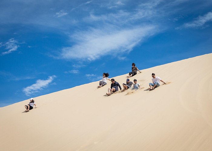
Stockton Beach in Port Stephens is part of the Worimi National Park and renowned for its towering white sand dunes. On this tour, enjoy round-trip transport to the dunes by 4WD and spend as long as you like sandboarding with an unlimited pass. Shuttle buses leave regularly so you can arrive and leave at a time that suits you.


Port Stephens 4WD Beach Sand Dune Adventure
View on Viator.com Port Stephens 4WD Beach Sand Dune Adventure
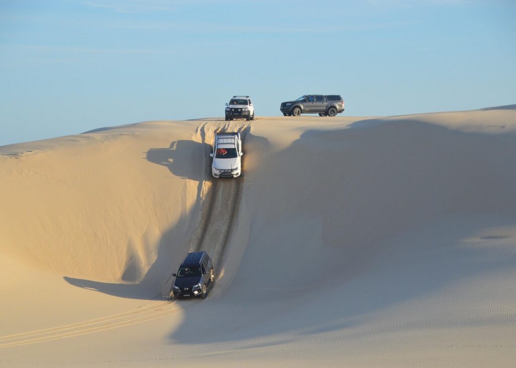
Experience the thrill of 4×4 driving across the beach and sand dunes on this adrenaline-inducing discovery tour around Port Stephens. Your tour starts at Anna Bay—an hour north of Newcastle—where you’ll hop in your funky 4WD truck and head down to Birubi beach before exploring the Stockton Sand Dunes. After hitting the dunes in your 4WD, you’ll have a chance to speed down the towering dunes on sandboards, before heading back to the start point.


Port Stephens, Beach and Sand Dune 4WD Passenger Tour
View on Viator.com Port Stephens, Beach and Sand Dune 4WD Passenger Tour
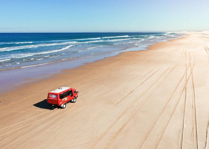
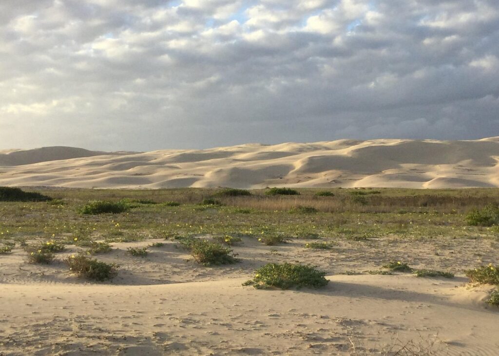
Venture off-road in a 4WD and explore the wild bushlands, beautiful beaches, and dramatic sand dunes of Port Stephens. On this tour, drive through wildflower meadows and look out for koalas in the Tomaree National Park; visit beaches include Samurai, Little Rocky, and Birubi; and zip up the sand dunes for a magnificent view along the coast.

Port Stephens, Beach and Sand Dune 4WD Tag-Along Tour
View on Viator.com Port Stephens, Beach and Sand Dune 4WD Tag-Along Tour
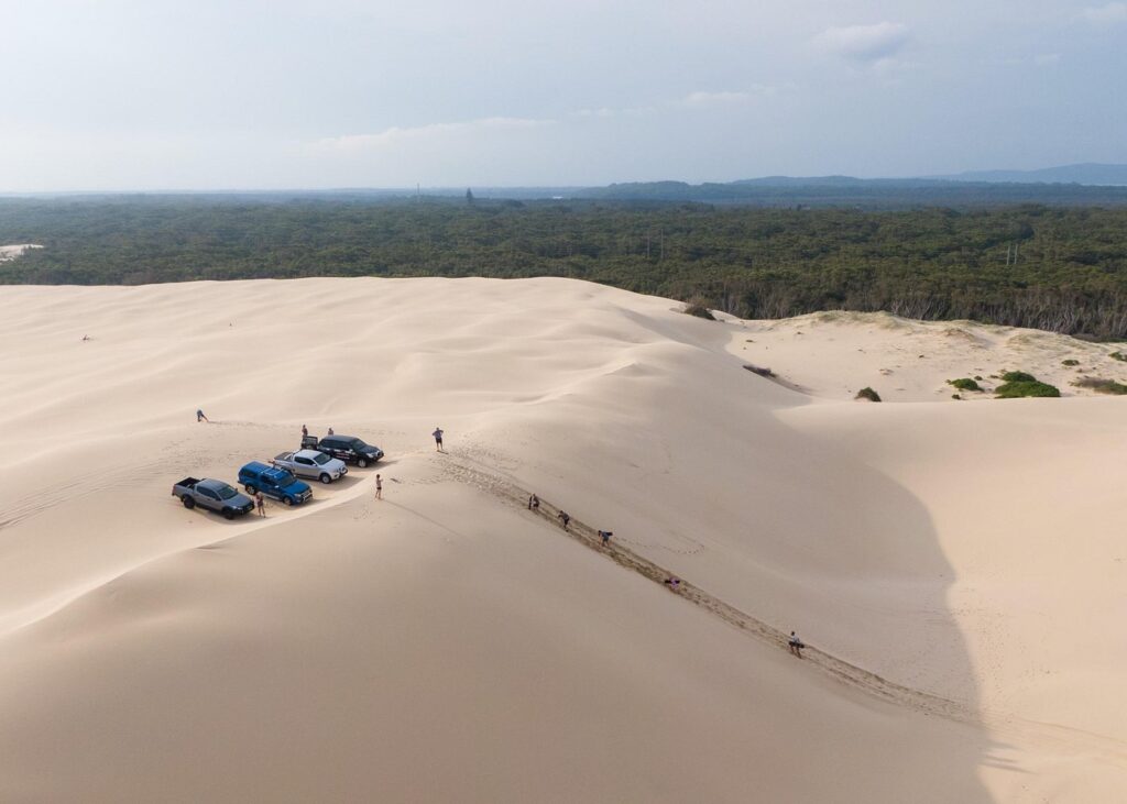
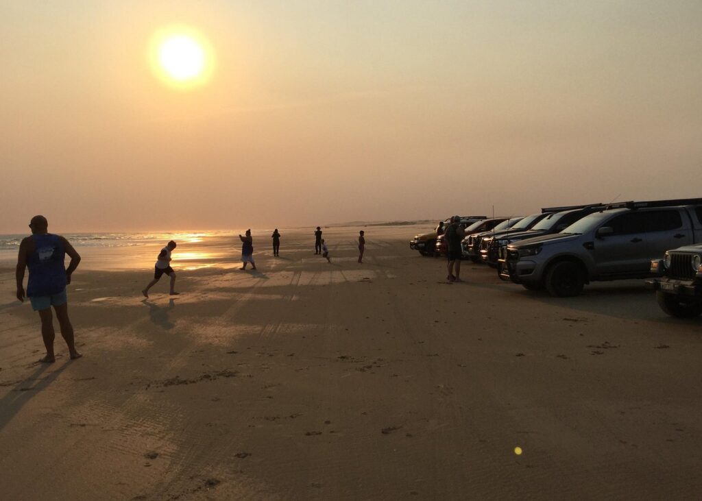
Bring your own 4WD and explore the wild bushlands, beautiful beaches, and dramatic sand dunes of Port Stephens. On this tag-along tour, follow your guide through wildflower meadows and look out for koalas in the Tomaree National Park; visit beaches include Samurai, Little Rocky, and Birubi; and zip up the sand dunes for a magnificent view along the coast.

Places To Get Food
- Frothy Coffee Boatshed
- Single Fin Coffee Seal Rocks
- The Palms Bistro
- Hueys at Blueys Pizzeria and Bar
- Sips At Moby’s
- Kembali Cafe
- Blueys Italian Pizzeria and Wine Bar
- Friendly Grocer Smiths Lake News & Supa Mart Pacific Palms
- Pacific Palms Recreation Club
Accommodation
These are my picks for accommodation in the area, the links will take you directly to the booking site where I receive a small commission if you book and stay, this does not alter the price as the commission comes out of the price from the booking site. I love travelling and providing information to help others maximize their vacations so by booking through my links you help support me to keep providing this information for free and without ads.
Reflections Seal Rocks – Holiday Park
View on Expedia.com.au Reflections Seal Rocks – Holiday Park
Beachfront holiday park for sun and fun
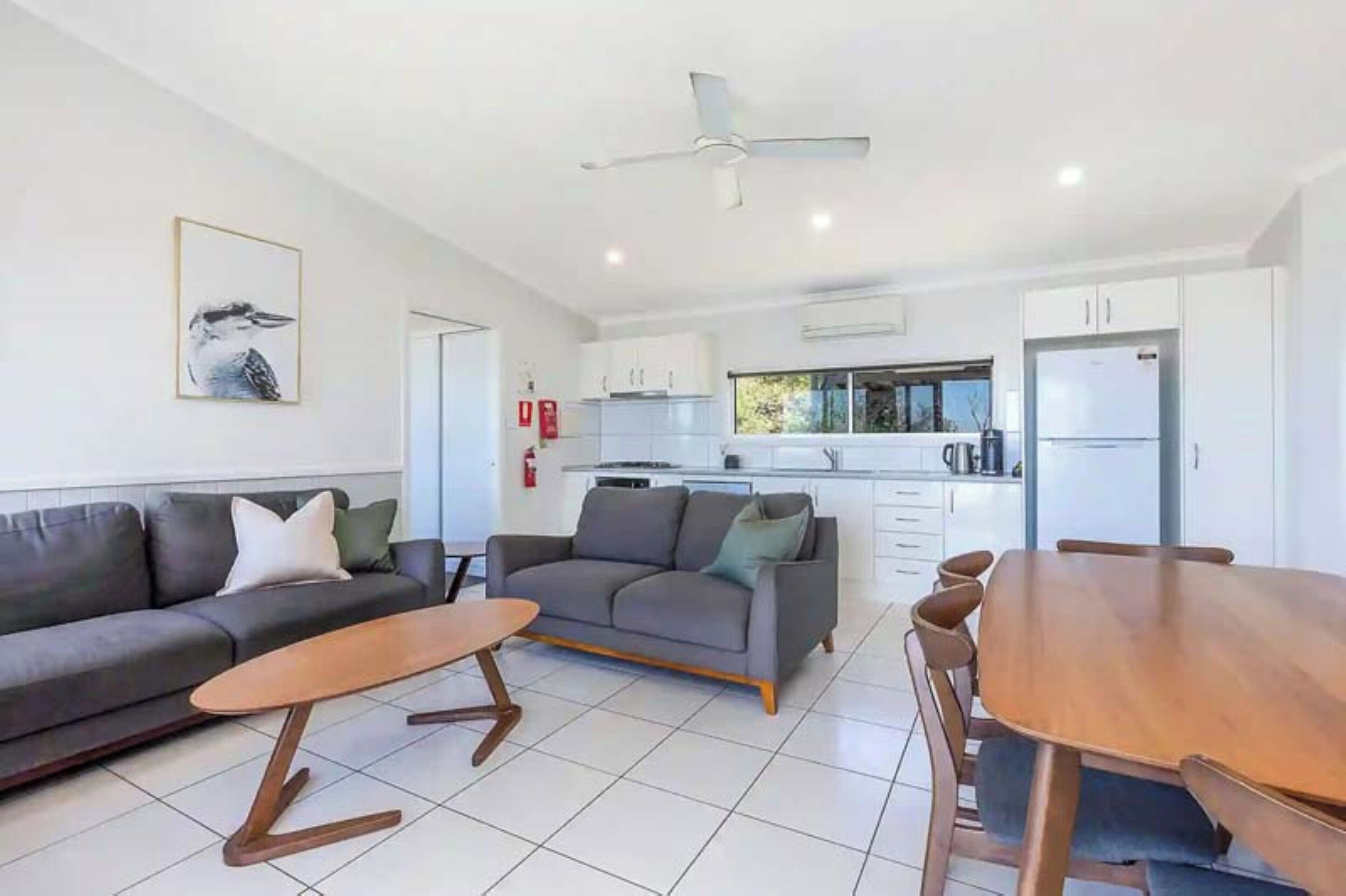


Berringar
View on Expedia.com.au Berringar
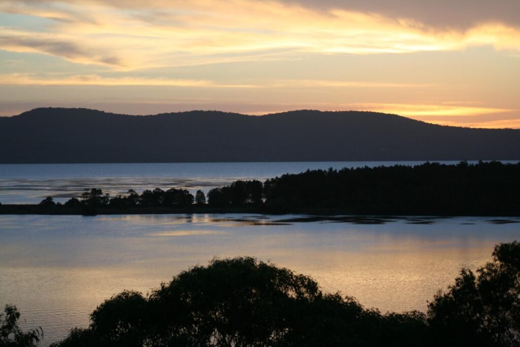
This smoke-free holiday home features an arcade/games room, barbecues and free self-parking. The holiday home has 5 bedrooms and offers a private yard and a DVD player. Guests can appreciate conveniences, such as 4 bathrooms and a washing machine, and other amenities include a balcony and a dining area. Housekeeping is not available.

Guest House on Guy
View on Expedia.com.au Guest House on Guy
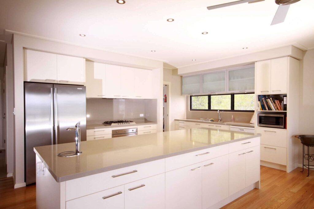
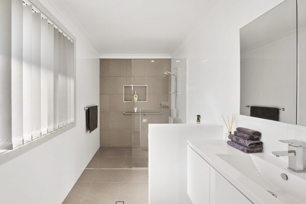
A garden, barbecues and free self-parking are available at this smoke-free holiday home. The holiday home has 4 bedrooms and offers free WiFi and a private yard. Guests will find a kitchen with a fridge, an oven, a stovetop and a microwave.
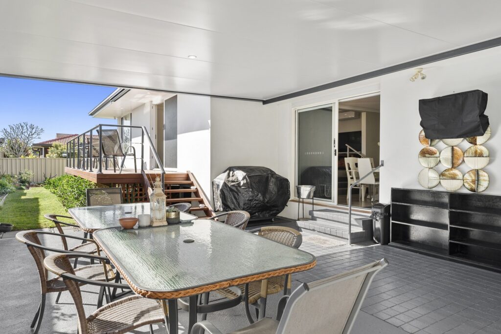

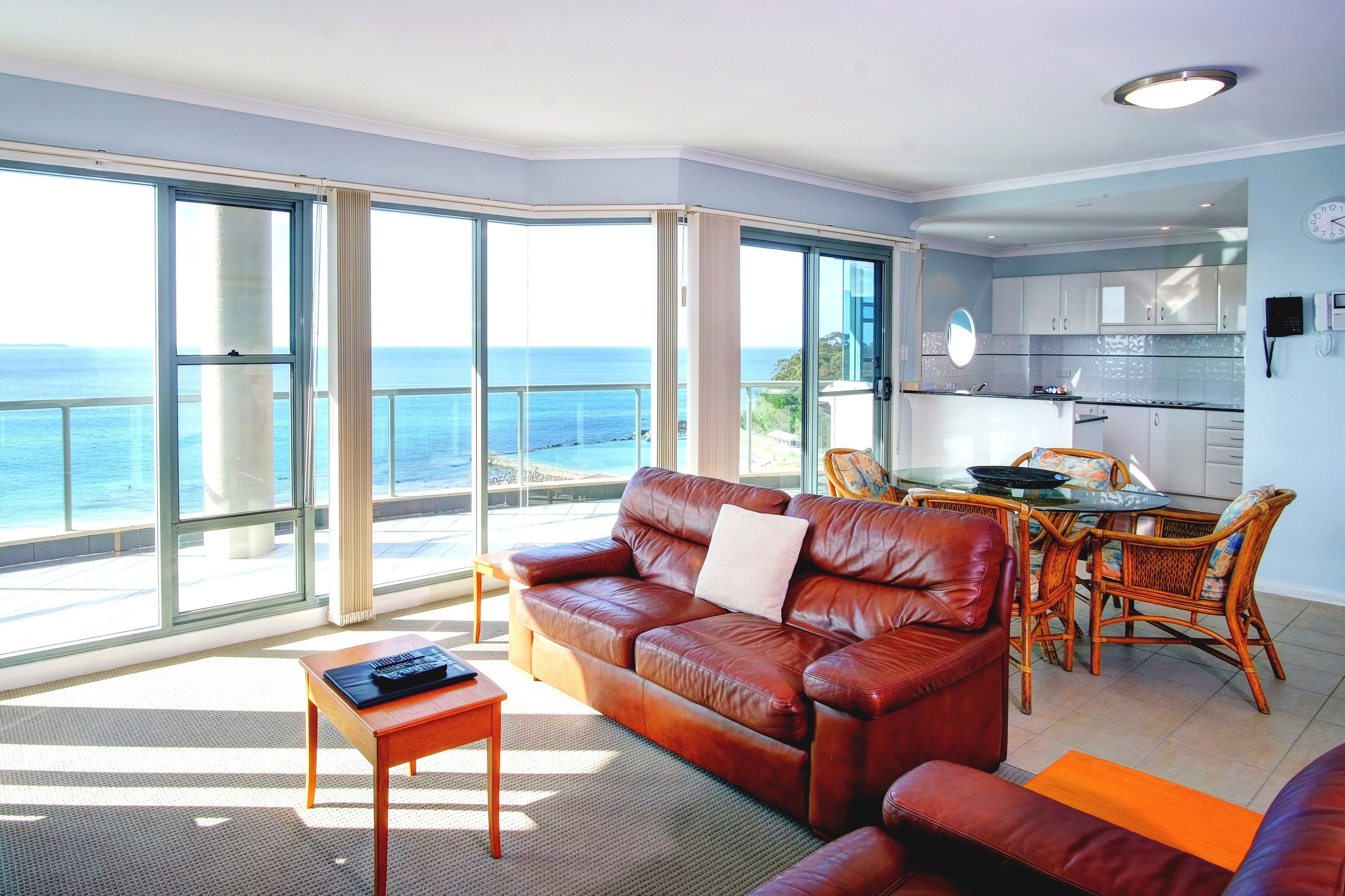
Sails Luxury Apartments, Forster
View on Expedia.com.au Sails Luxury Apartments, Forster
Luxury apartment with sauna and outdoor pool

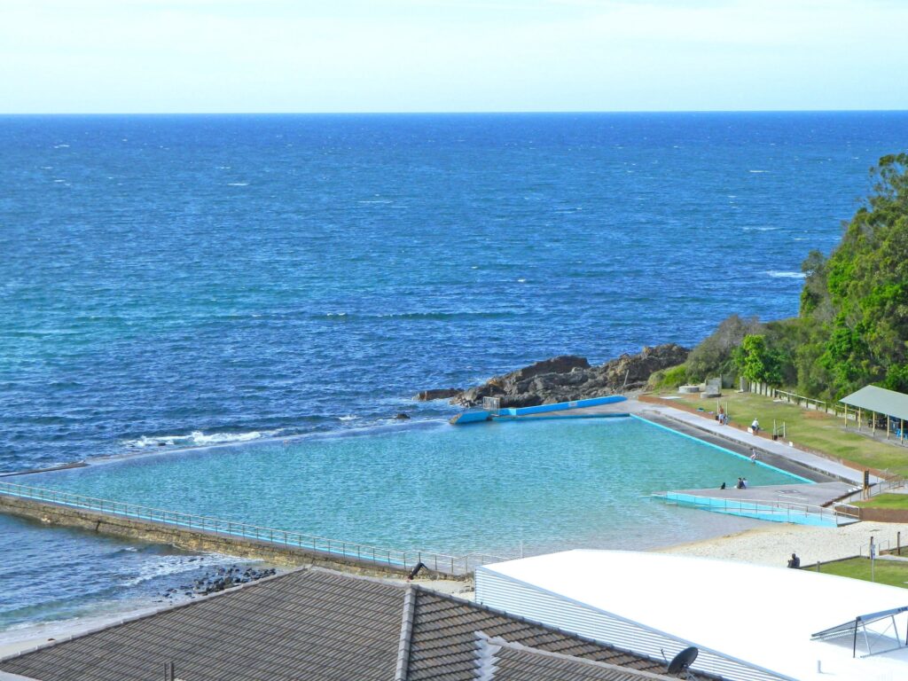
Lakeside Forster Holiday Park
View on Expedia.com.au Lakeside Forster Holiday Park
Family-friendly holiday park in Forster with free parking

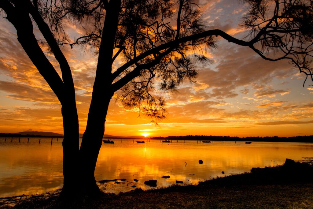
The Complete Packing Guide: Essentials for Your Next Adventure
The links will take you directly to the Amazon site where I receive a small commission if you buy the product, this does not alter the price as the commission comes out of the price from Amazon. I love travelling and providing information to help others maximize their vacations so by buying through my links you help support me to keep providing this information for free and without ads.
Click on this link to see my packing list
Frequently Asked Questions
Can you drive on Lighthouse Beach Seal Rocks?
This beach is accessible by 4WD, provided you have a valid Parks Pass from NSW National Parks and Wildlife Service, required for this and other designated 4WD beaches in Myall Lakes National Park. Please note, the beach is not patrolled.
Who owns the Bolivar Lighthouse?
Since its auction in 1947, Point Bolivar Lighthouse has remained under private ownership, cared for by the descendants of E.V. Boyt and his sister, Ila Maxwell.
Do you need a permit to drive on Lighthouse beach?
Lighthouse Beach is accessible via a short walk to Sugarloaf Point Lighthouse or from the carpark along Treachery Road. 4WD access is also available from this carpark, but a NSW National Parks Permit is required to drive on the beach. Please note, the beach is not patrolled.
Can you drive on the beach in Two Rocks?
Currently, Wilbinga is the only beach track in the area accessible by 4WD, as council regulations and new housing developments have closed access to Two Rocks and Yanchep. The entry point is a sandy track opposite Military Road, situated midway between Guilderton and Two Rocks.
What beaches can you drive and camp on in NSW?
Explore Beachside Campgrounds & Holiday Parks in NSW
- Byron Bay Area: Reflections Byron Bay – Holiday Park
- Coffs Harbour Area: Reflections Scotts Head – Holiday Park
- The Tweed Area: Tweed Holiday Parks Hastings Point
- Port Stephens Area: Various scenic camping options
- Shellharbour Area: Family-friendly seaside campgrounds
- Coffs Harbour Area: More coastal camping destinations
- Tweed Area: Tweed Holiday Parks Fingal Head
How do you clean a 4WD after beach driving?
There are two methods for rinsing off, but I prefer using the high-pressure cleaner with a 90-degree nozzle. This option effectively reaches those hard-to-access areas, with the powerful spray removing dirt, grime, and sand from the vehicle’s components.
If you enjoyed this article, you may find my other writings equally captivating.
FOLLOW ME on Facebook, Instagram, Pinterest, Tik Tok, You Tube and Twitter to see more delicious food and get all the latest updates.
 Discover the Serenity of Number 1 Beach at Seal Rocks, NSW
Leave a Reply