Click here to jump to my accommodation picks in and around Shoal Bay
Check out my travel packing list for all the items you might need on your travels
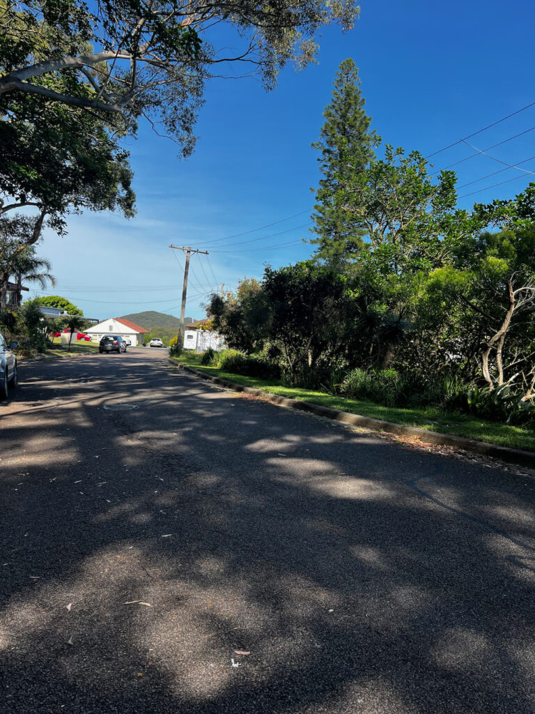
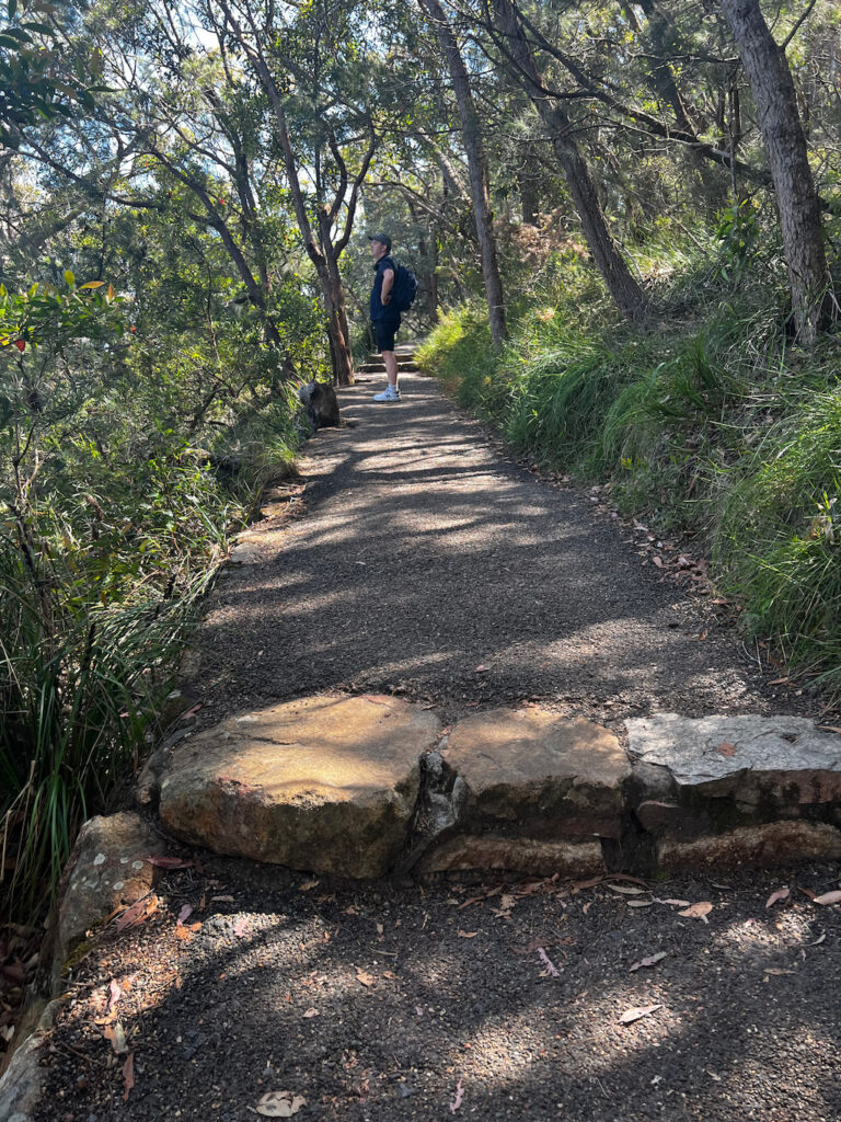
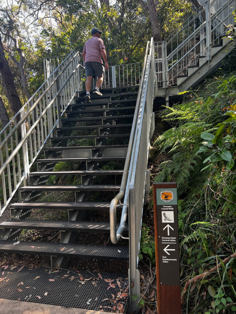
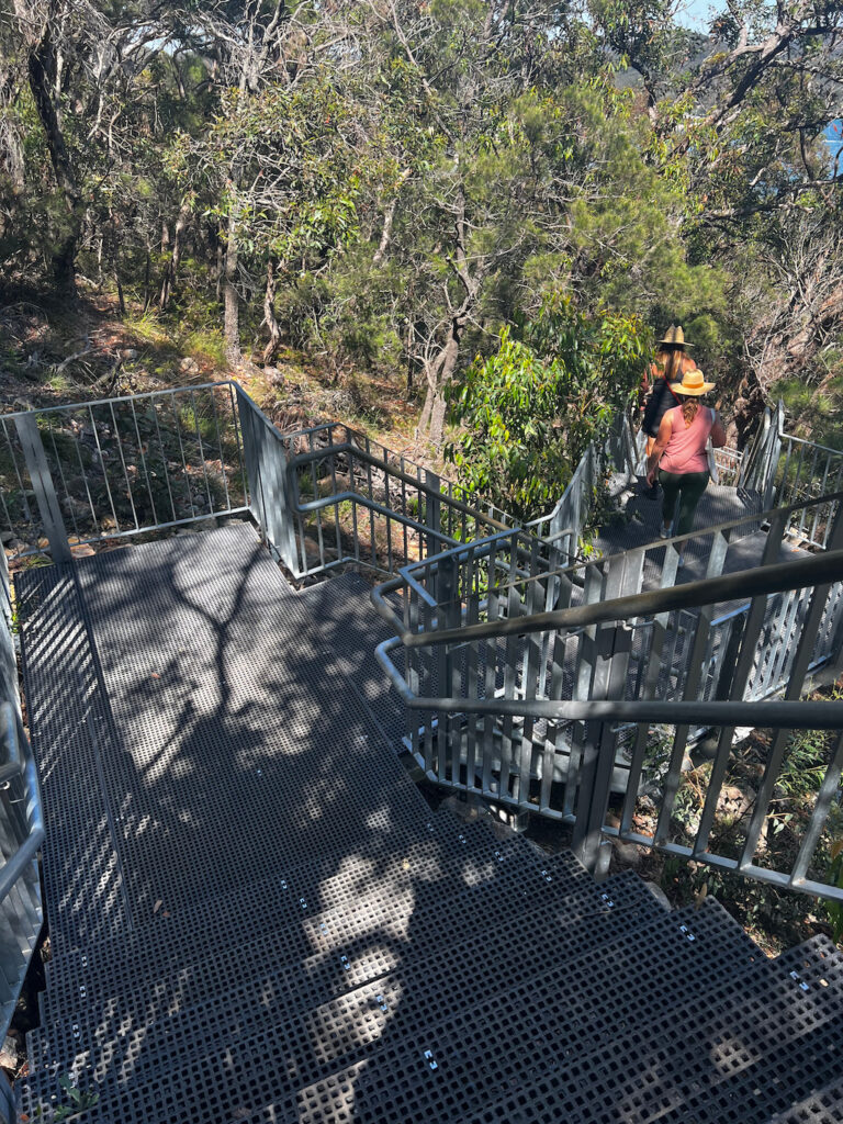
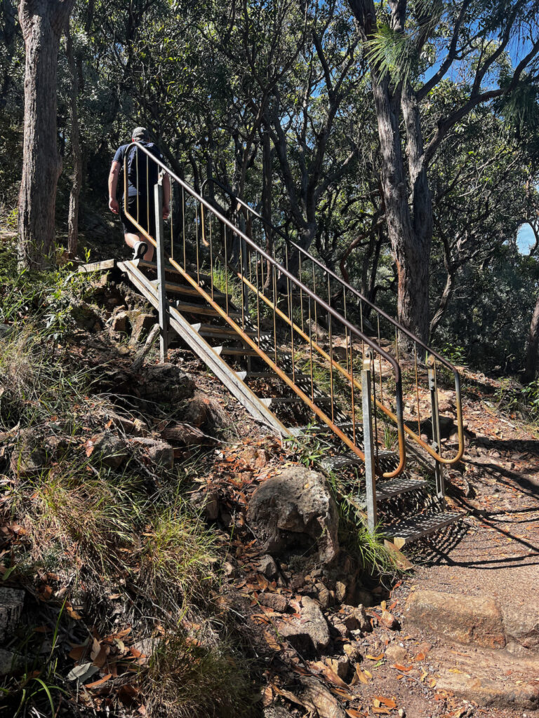
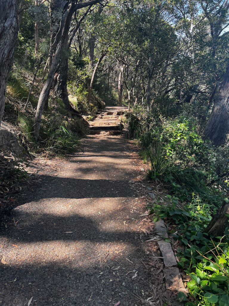
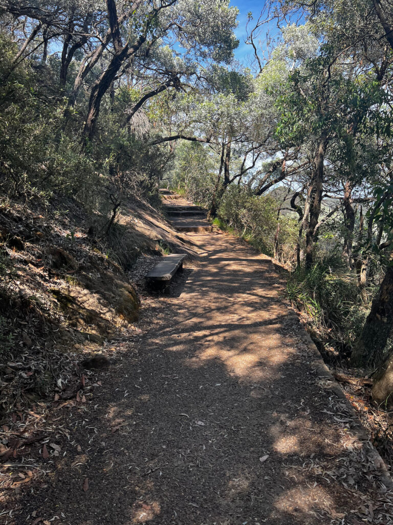
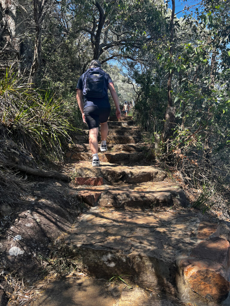
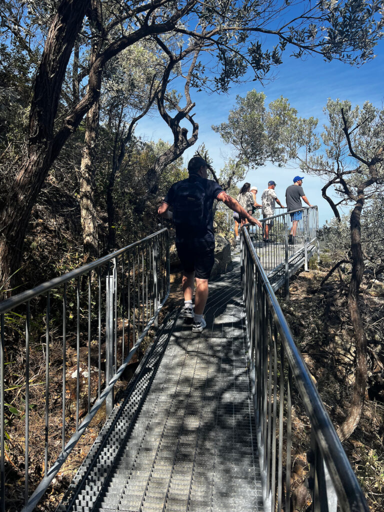
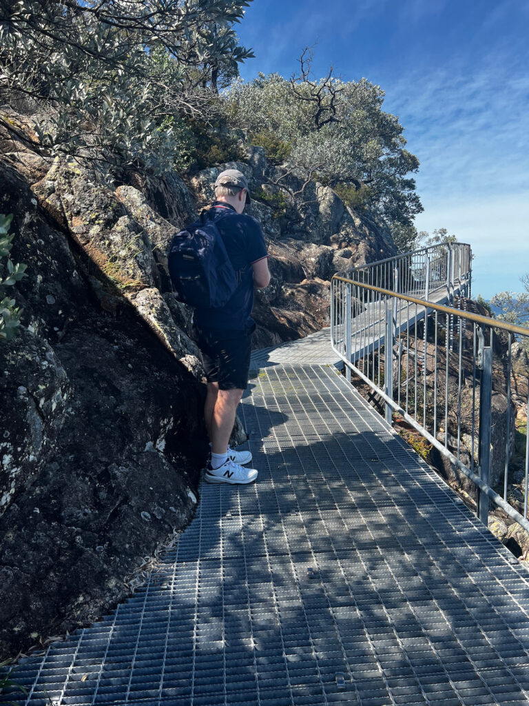
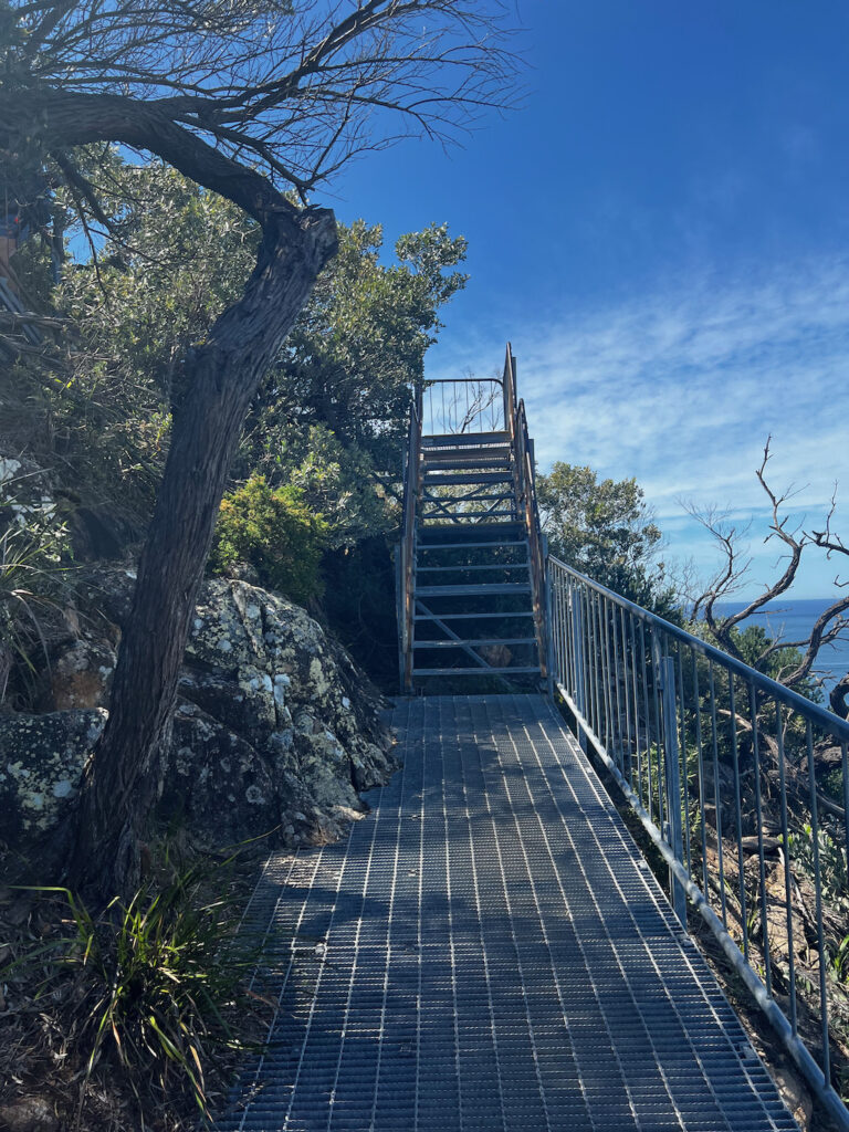
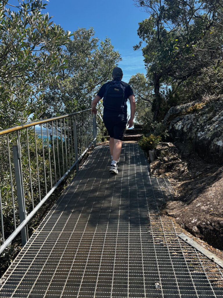
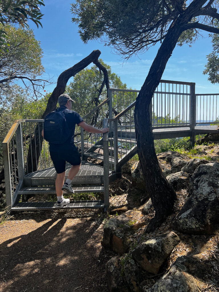
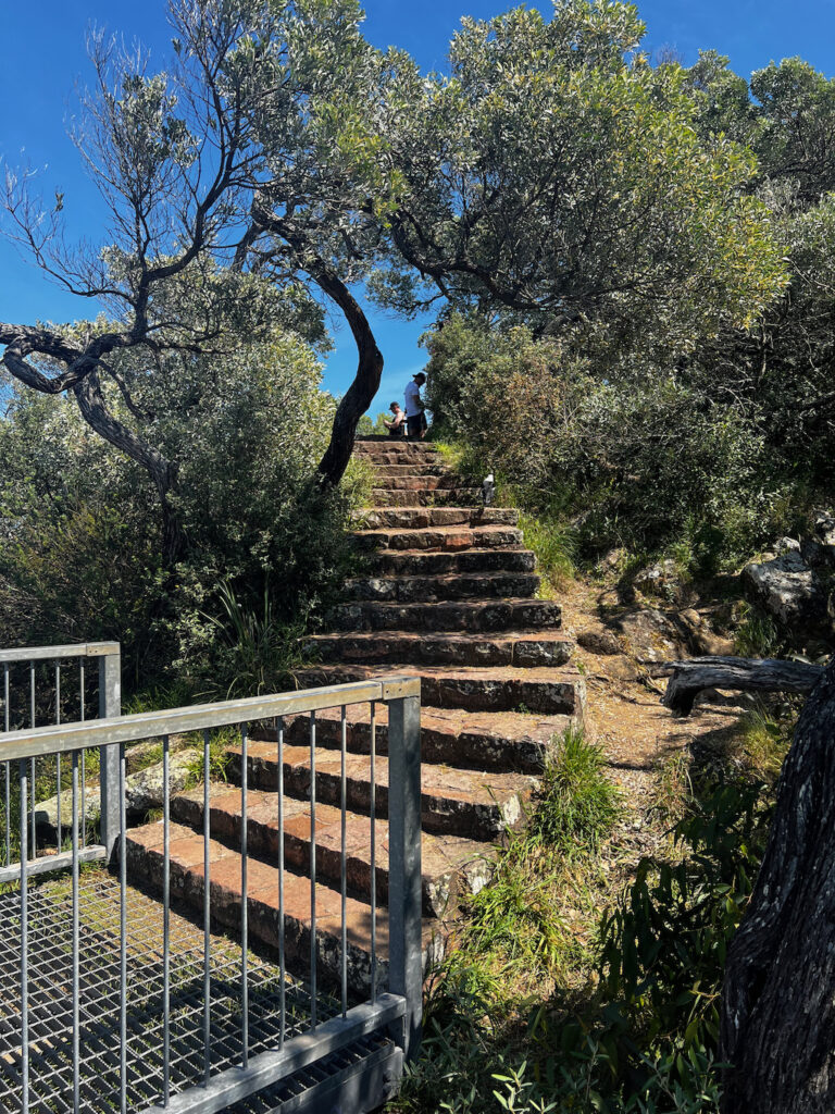
After leaving our Soldiers Point accomodation and stopping at Port Stephens Great Lakes Marine Park and George Reserve On Lead Dog Exercise Area. Our next stop was Tomaree Head Summit Walk in Tomaree National Park. it was already busy at 9:52am when we got there so it was hard to find a car park and you have to pay for parking along Shoal Bay Road. So we drove up a side street called Tomaree Road, then turned left into Messines Stret and then left into Ronald Avenue and then left into Joleen Cresecne and found this street to park in where it was free parking and at the end of the street where it backs onto Tomaree National Park with a dirt track that leads to the start of the walk. The day we did the walk was a Sunday and a long weekend 6th October 2024, so it was a popular and busy place but worth it, plus it was a warm sunny day so everyone was going to the beach or doing the summit walk. I recommend doing the walk during the week when it’s less busy. It’s an easy walk up to the summit depending on how how fit you are walking up a hill, it’s a paved path with a hand rail, and sections with steel steps and hand rails on both sides, kids of all ages were walking the track and a mixture of young and older adults were on the track. On the way back to the car park we stopped at Zenith Beach. There are toilets at the start of the walk that are on the beach.
Discover the Tomaree Head Summit Walk: A Breathtaking Adventure in New South Wales
Nestled within the pristine Tomaree National Park in Port Stephens, the Tomaree Head Summit Walk is an iconic adventure that offers spectacular views, rich history, and an invigorating challenge for nature enthusiasts. Whether you’re a seasoned hiker or simply looking for a scenic outing, this walk promises an unforgettable experience.
The Trail at a Glance
The Tomaree Head Summit Walk is a moderately challenging 2.2-kilometer return trail that winds through lush bushland and ascends to a summit offering panoramic vistas. It takes approximately 45 minutes to an hour to complete, depending on your pace and the time you spend soaking in the views. The trail is well-maintained, with steps and handrails provided along steeper sections to ensure safety.
Add Shoal Bay to your must-visit destinations!
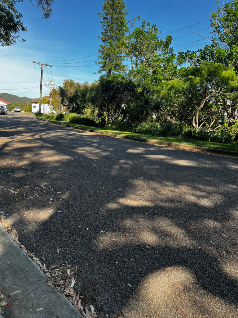
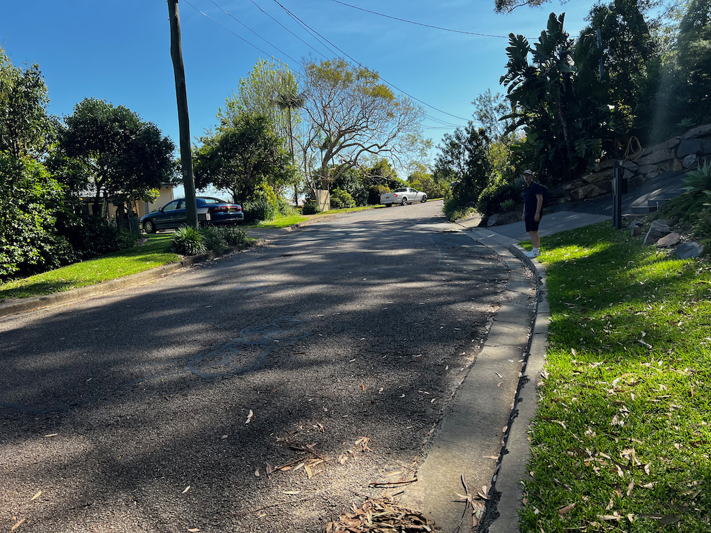
Joleen Crescent
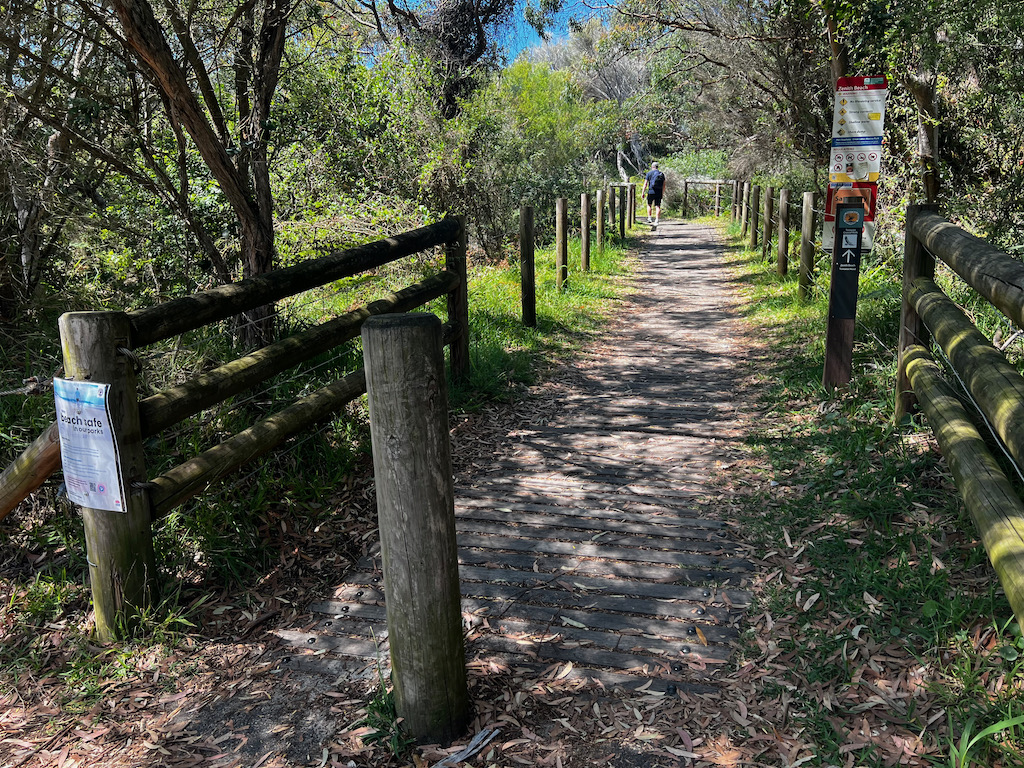
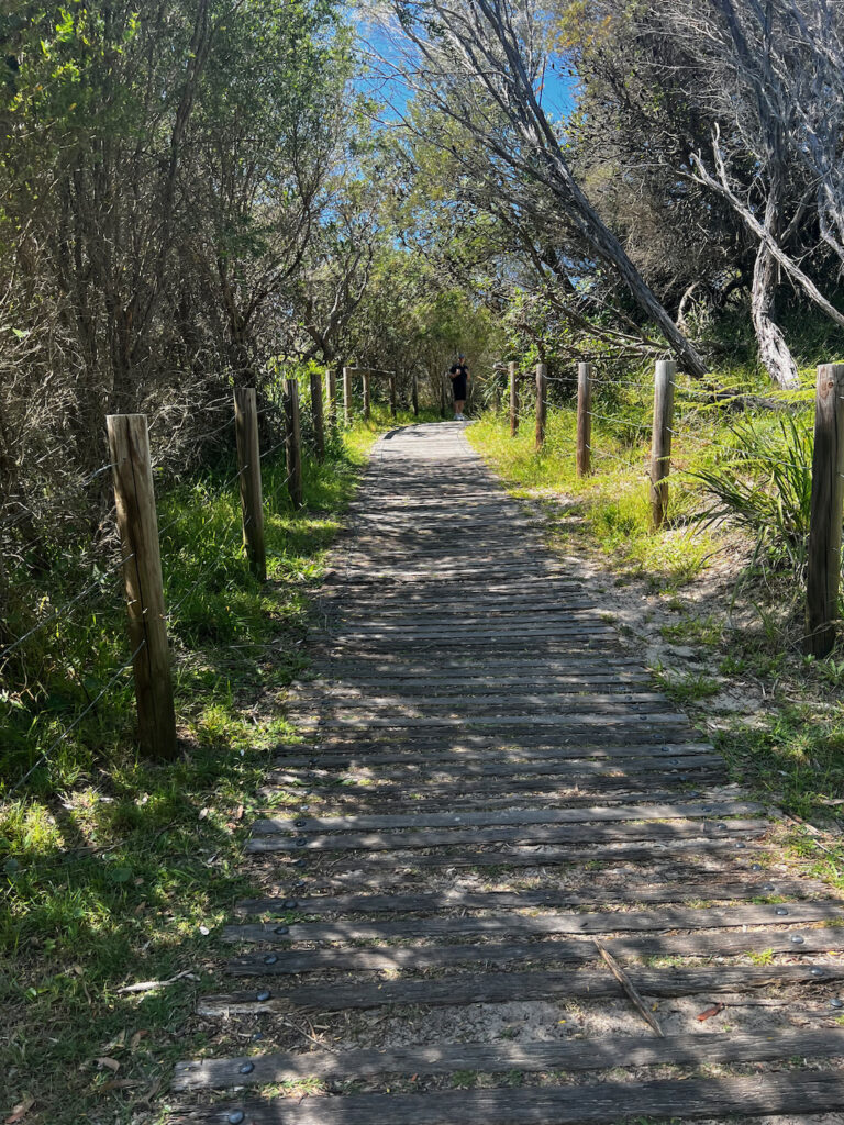
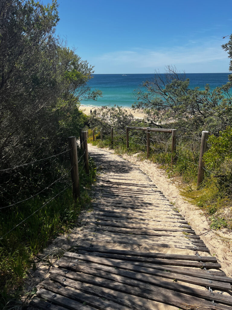
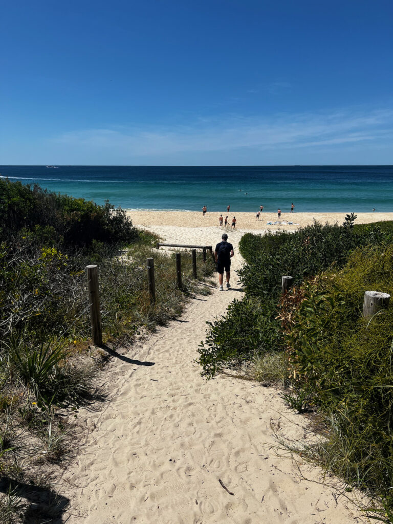
This is the street that we parked in and walked through Tomaree National Park along this track to the car park and then we stopped at the beach to take photos and videos and to go to the toilet before we started the summit walk. We didn’t have to pay for parking along this street but if you park along Shoal Bay Road you will have to pay for parking, we nearly didn’t stop here because it was impossible to find a car spot on a Sunday morining. I recommend doing the walk during the week if you can to avoid the crowds.
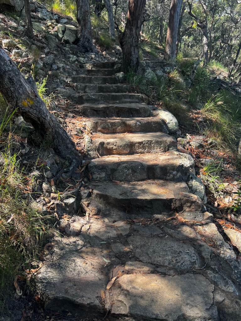
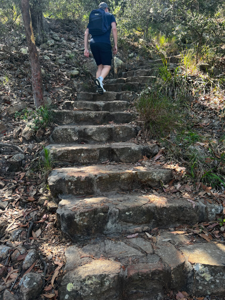
The track is very rocky so look where you are walking so you don’t slip over or sprain your ankle, it’s a 900 metres walk which is about a 15 minute walk to the start of the track depending on how fast you walk.
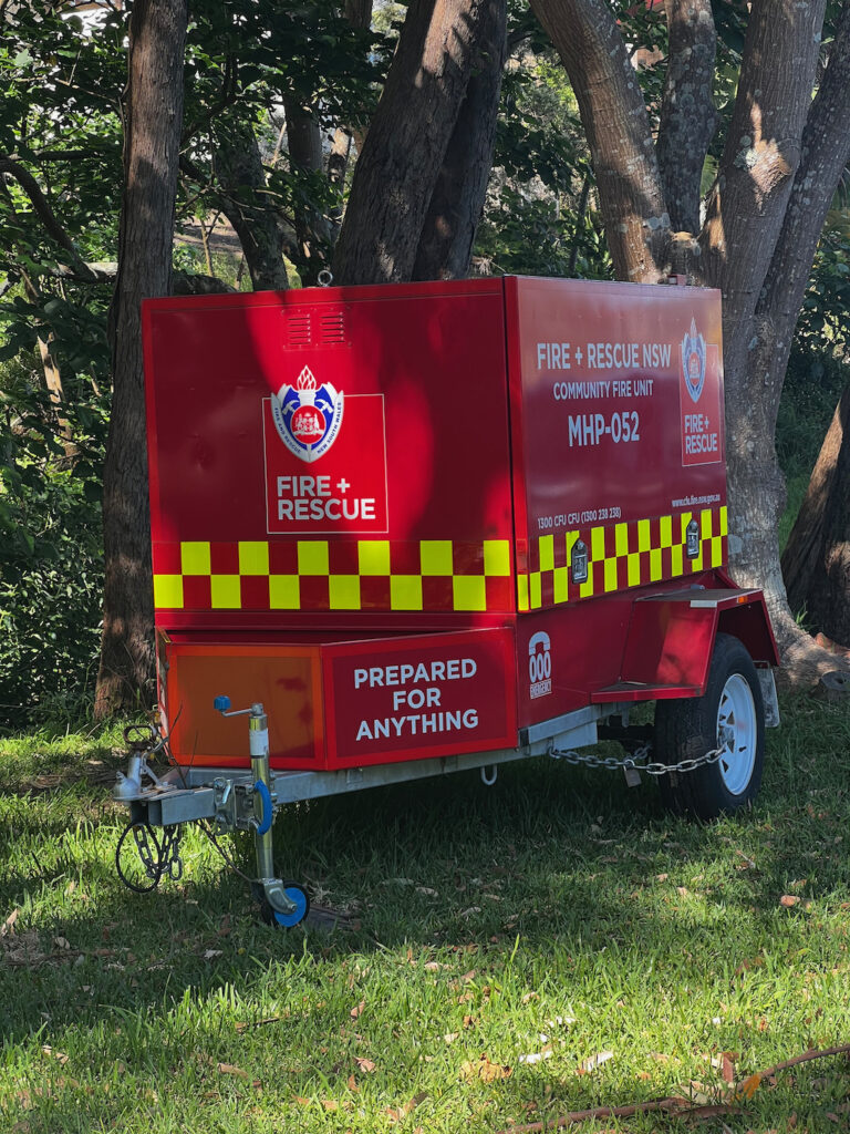
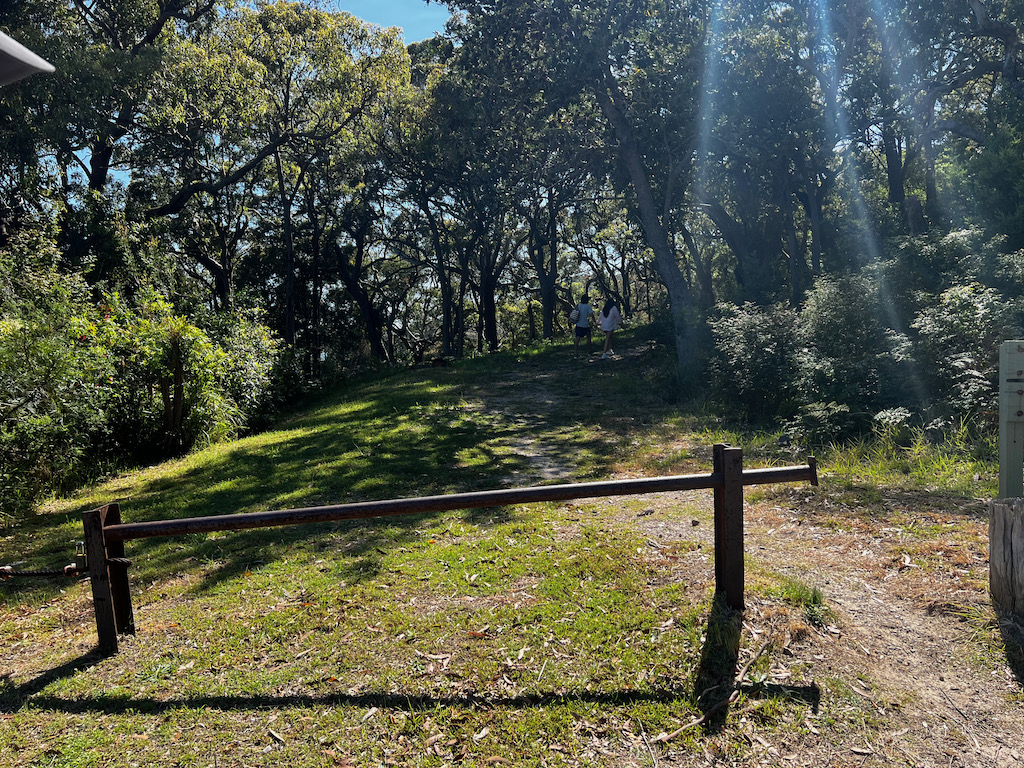
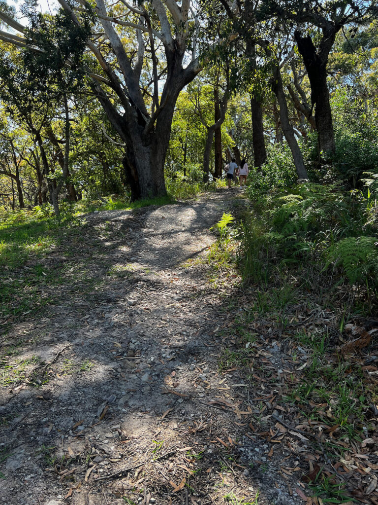
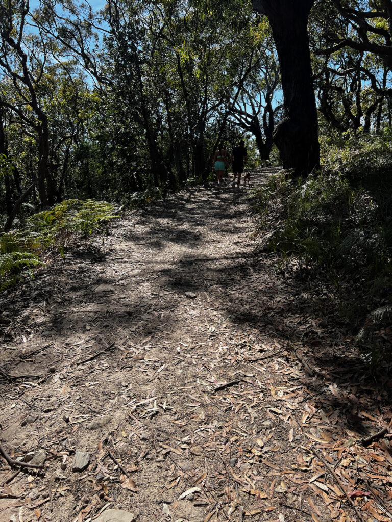
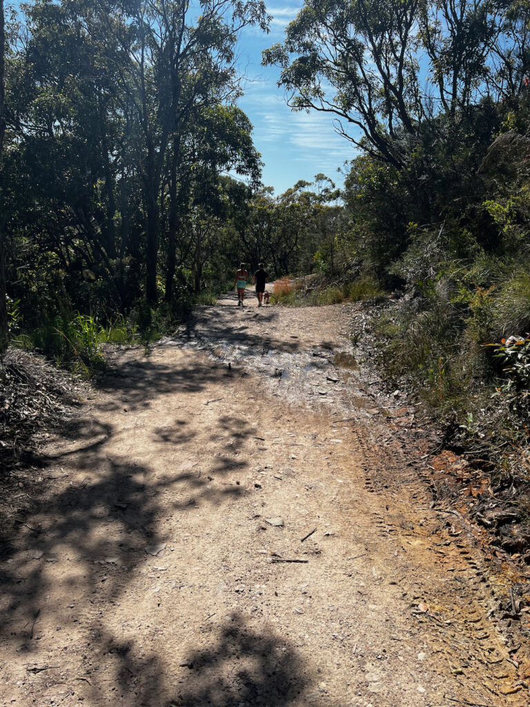
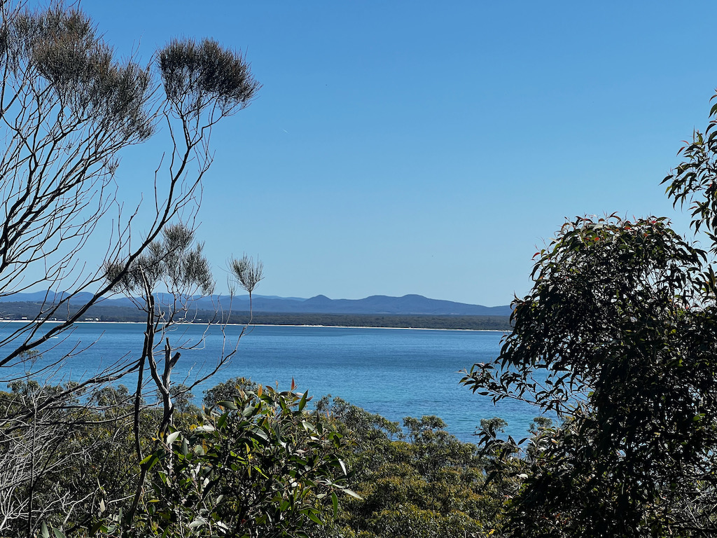
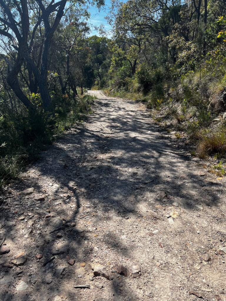
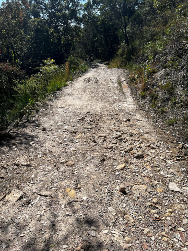

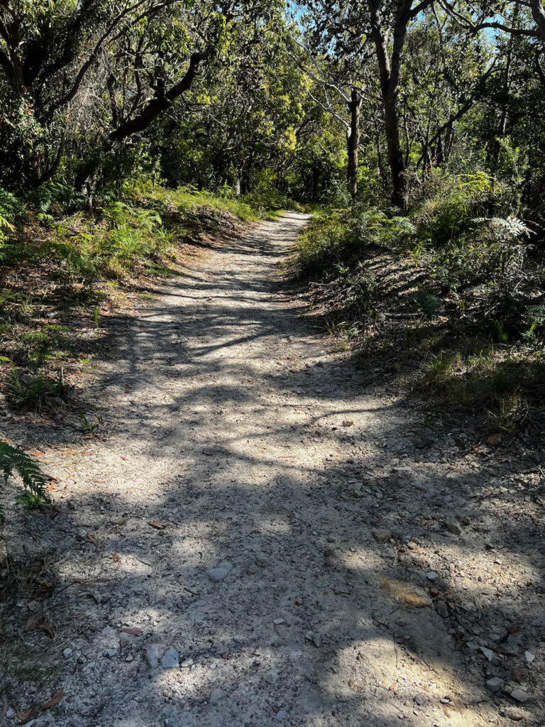
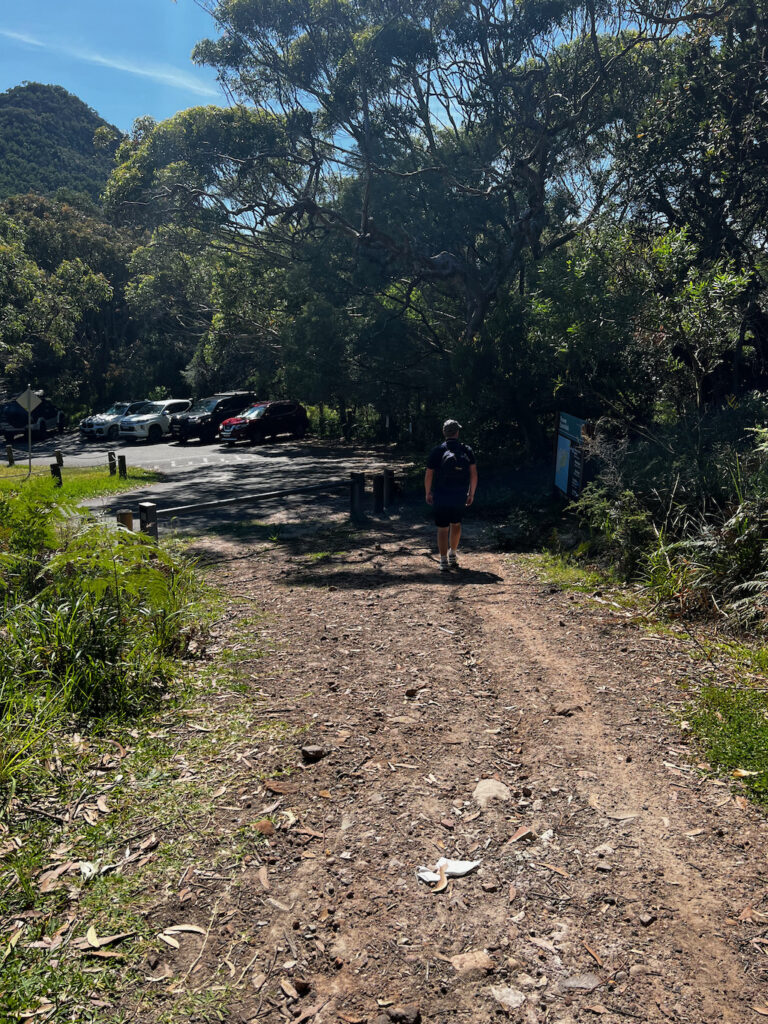
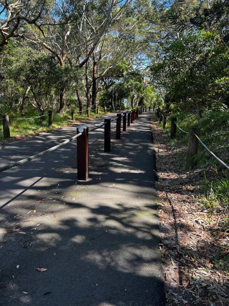
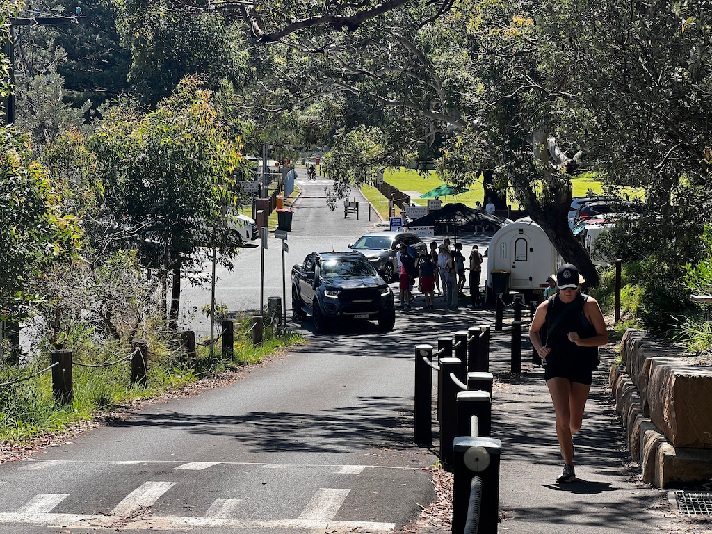
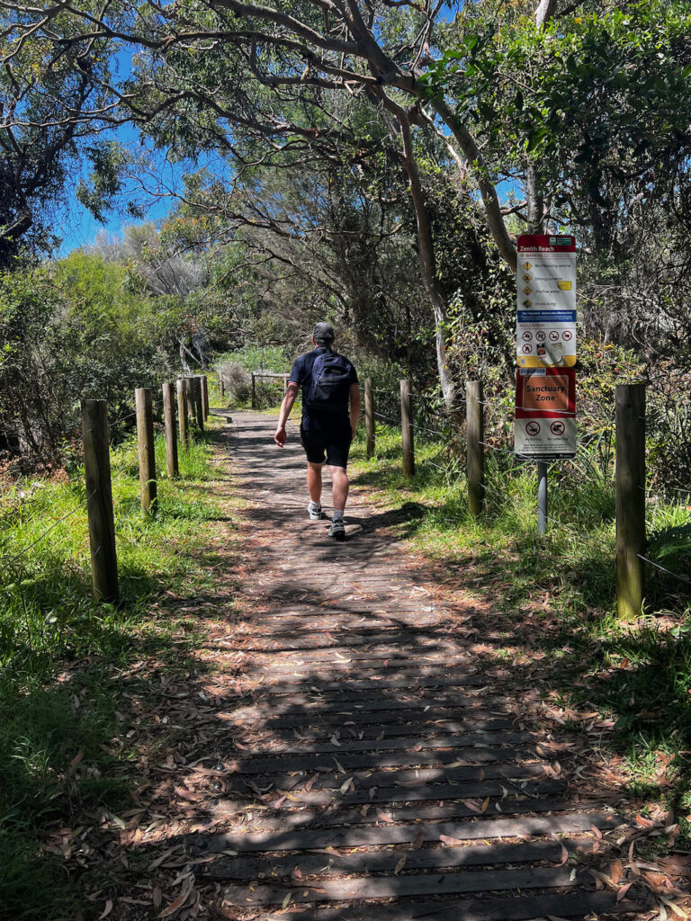
This is where the walk starts going back to Joleen Cresecent after doing the Tomaree Head Summit Walk in the photos below.
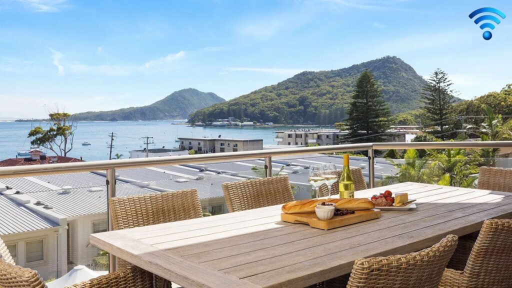
Take in this incredible view while relaxing outside with a drink.
Shoal Bay Beach
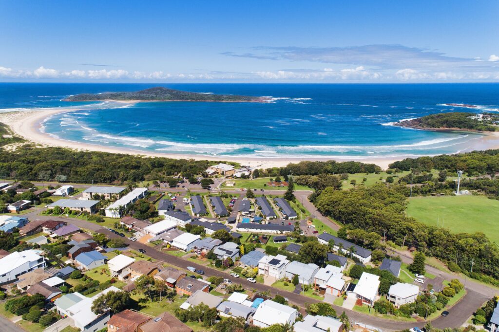
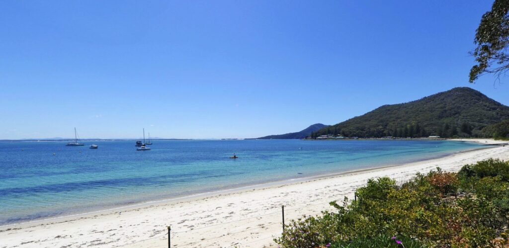
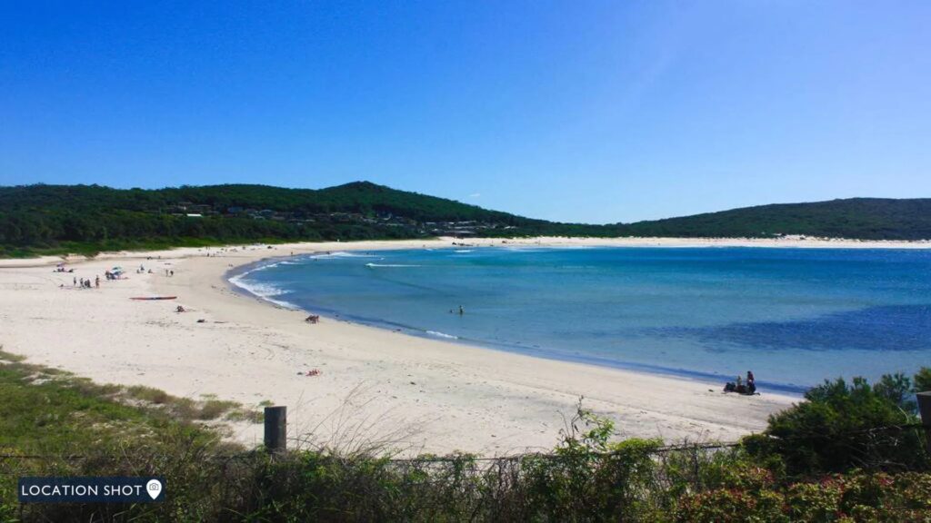
Shoal Bay Beach, located in the stunning Port Stephens region of New South Wales, is a pristine stretch of white sand bordered by calm, turquoise waters. Renowned for its tranquil atmosphere, the beach is perfect for swimming, paddleboarding, and snorkeling. It also offers breathtaking views of Tomaree Head, making it an idyllic spot for relaxation or a picturesque walk along the shoreline. Nearby, visitors can enjoy charming cafés, restaurants, and boutique shops, adding to the beach’s appeal as a serene yet vibrant coastal destination.
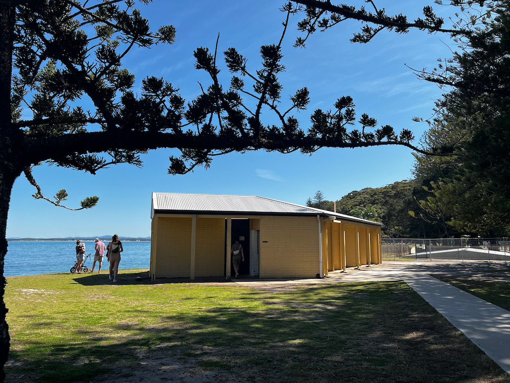
The pictures below are of the pay station, refill water station for humans and pets, picnic table, toilet block and surrounding area.
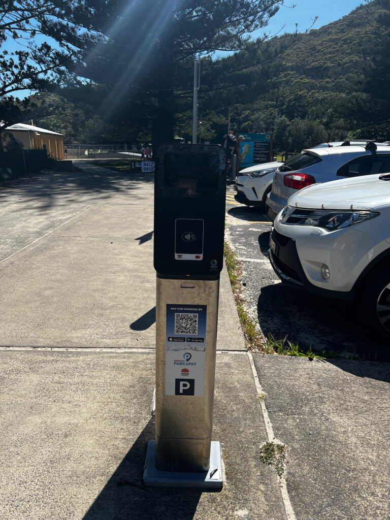
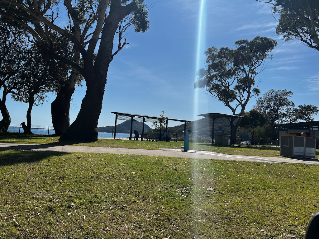
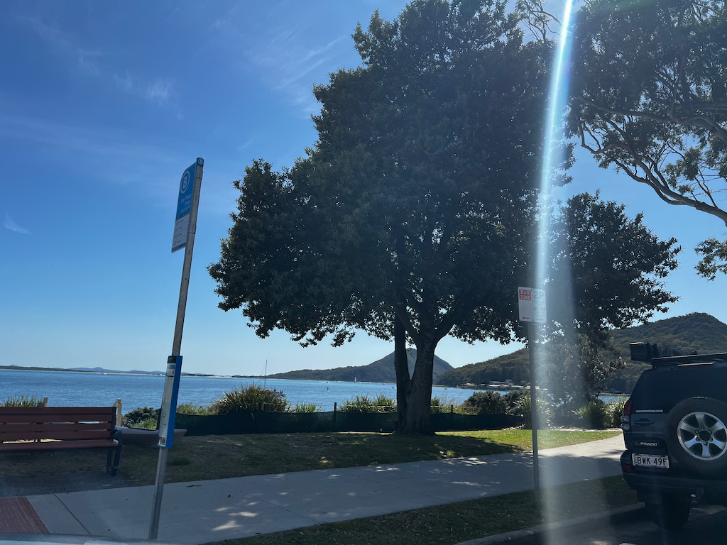
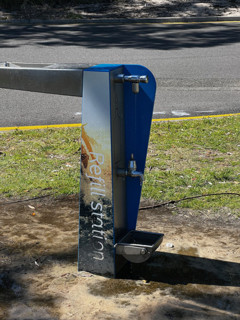

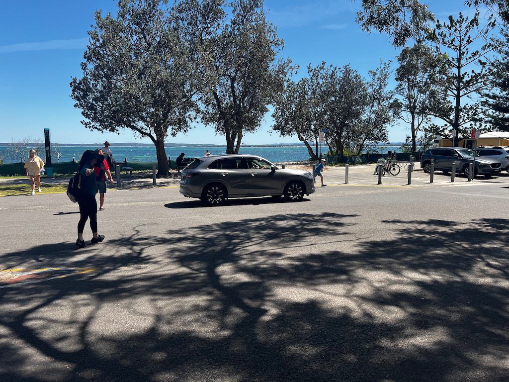
This is where the car park is at the end of the street on the right hand side if you can’t find a spot on the street. Its a one way road.
The Journey to the Summit
Your journey begins at the car park near Shoal Bay, where clear signage marks the trailhead. As you ascend, you’ll traverse a mix of dirt paths and stone steps, surrounded by vibrant native vegetation. Keep an eye out for local wildlife, including kookaburras, lorikeets, and even echidnas.
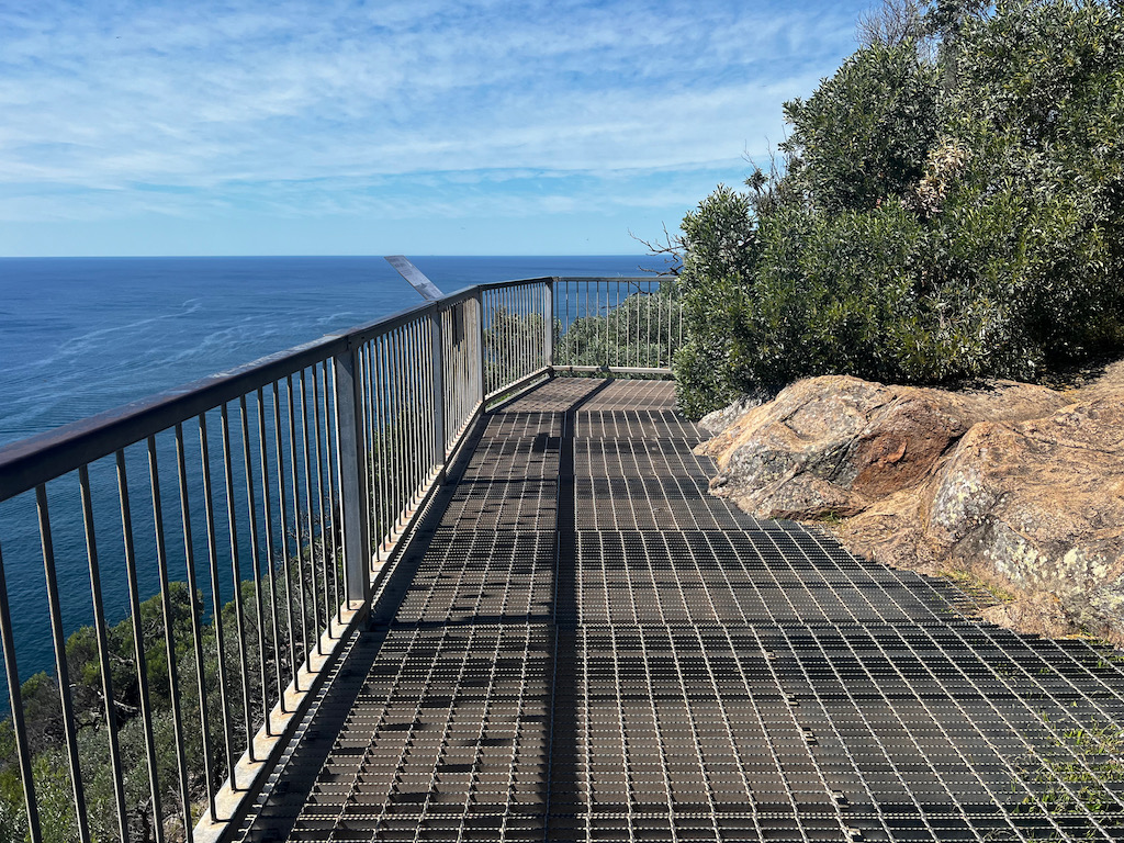
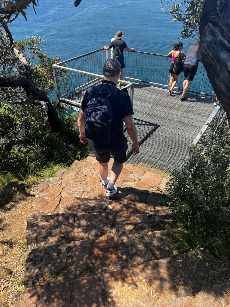
Midway through the hike, you’ll encounter several viewing platforms. These rest points provide sneak peeks of the awe-inspiring scenery that awaits at the top. Each platform offers unique perspectives, from the sparkling waters of Port Stephens to the rugged coastline stretching toward the horizon.
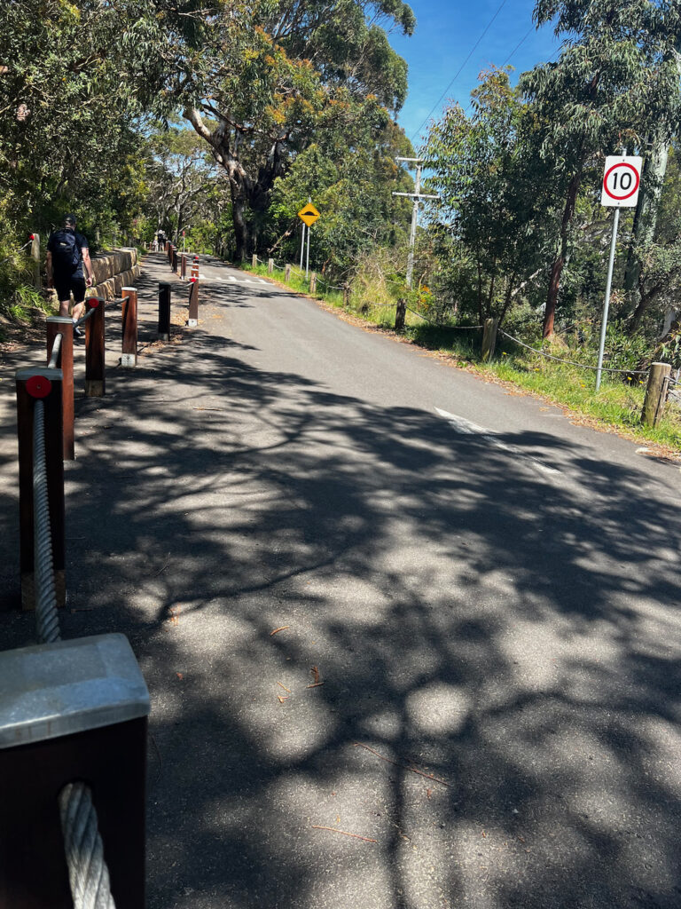
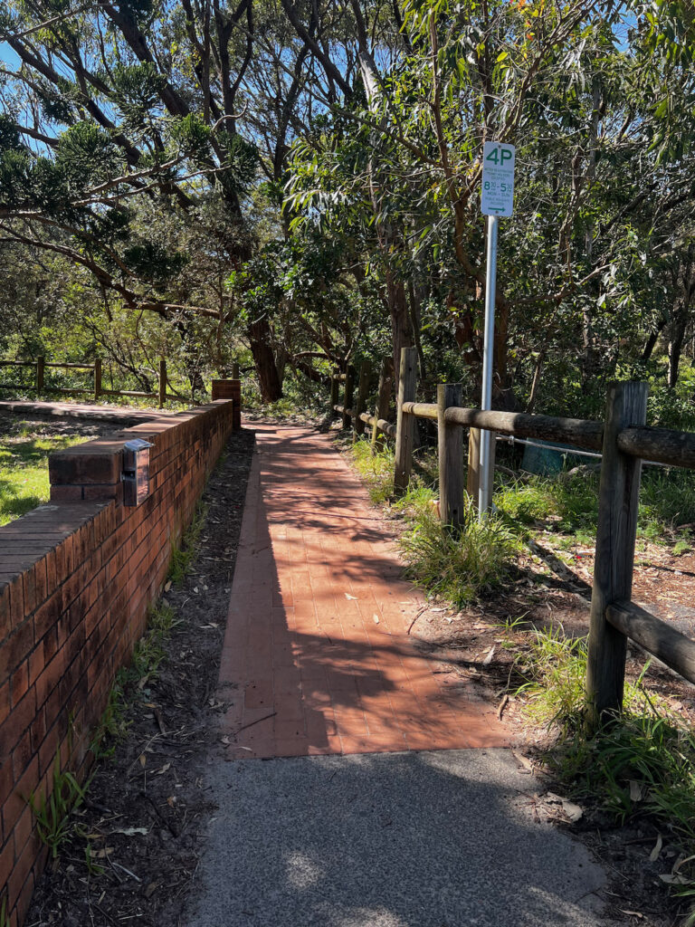
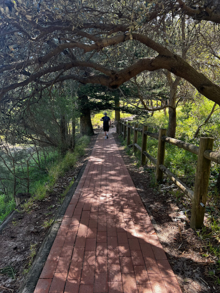
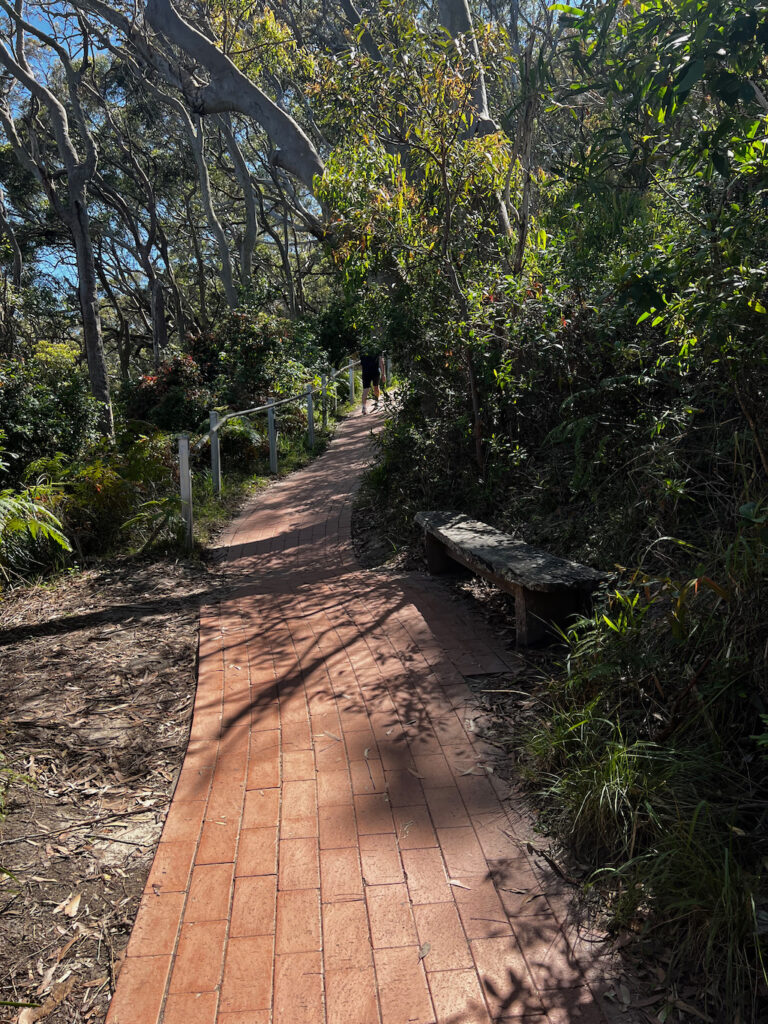
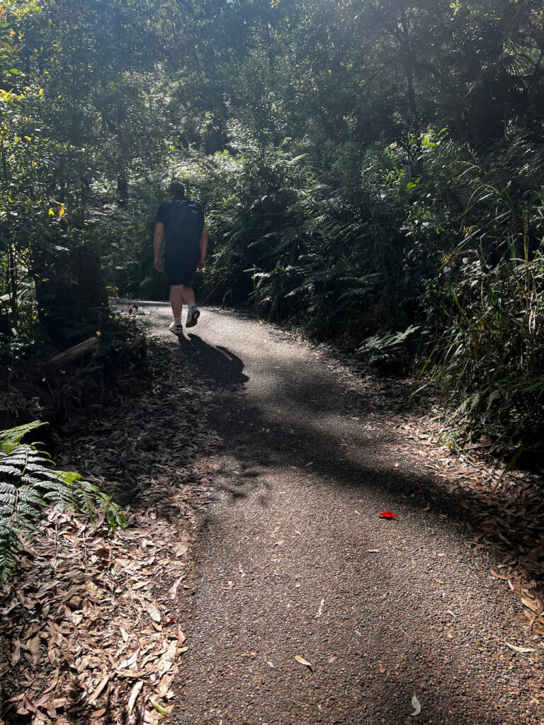
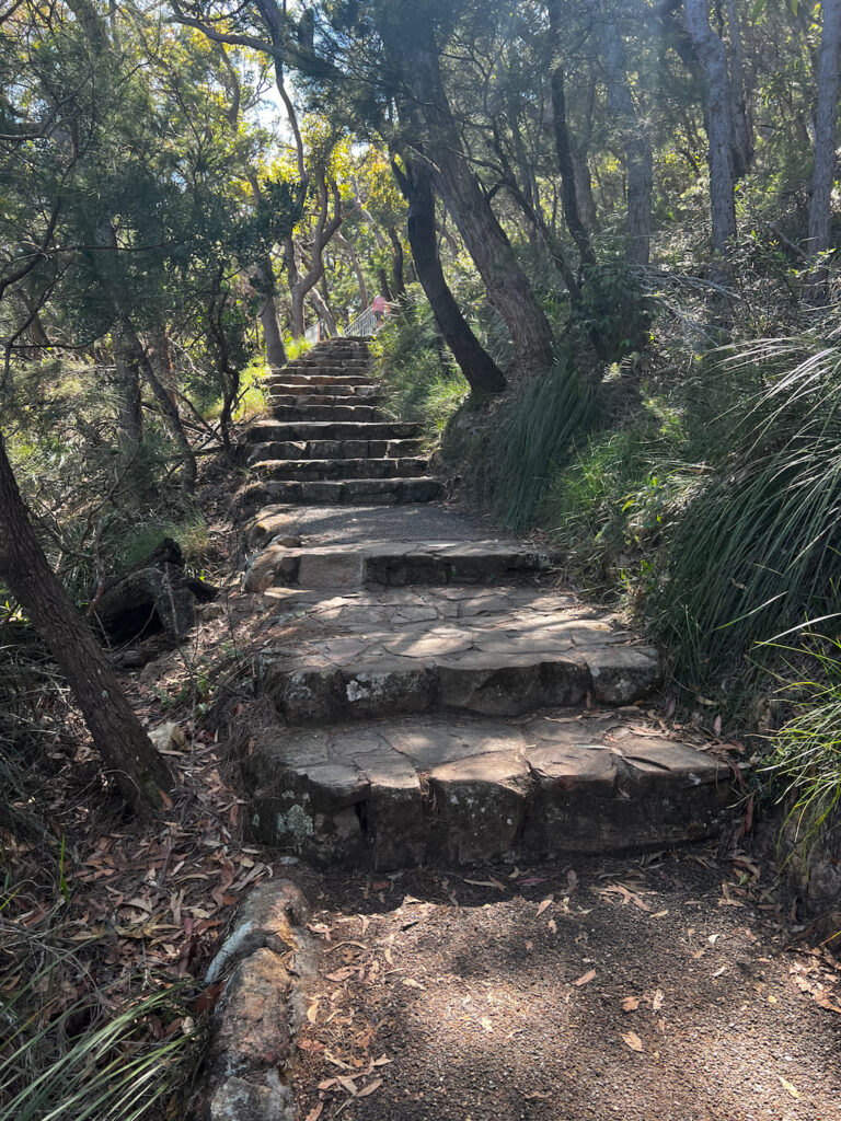
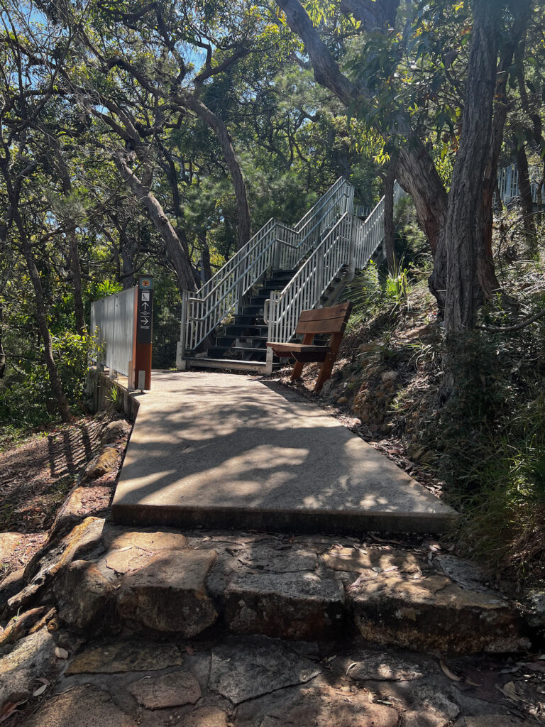
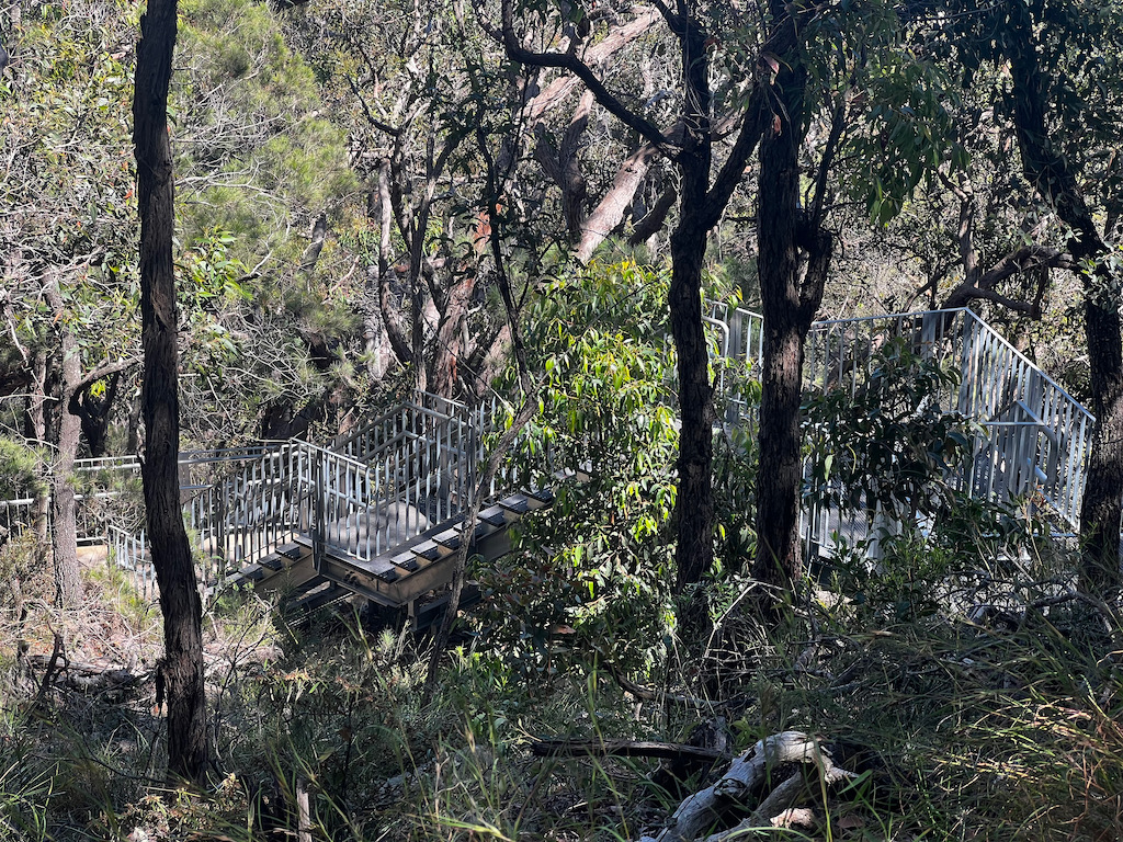
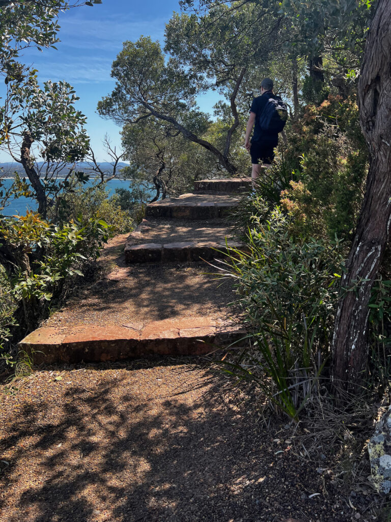
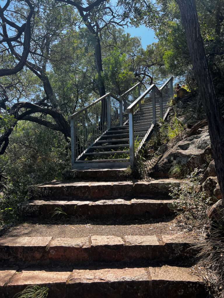
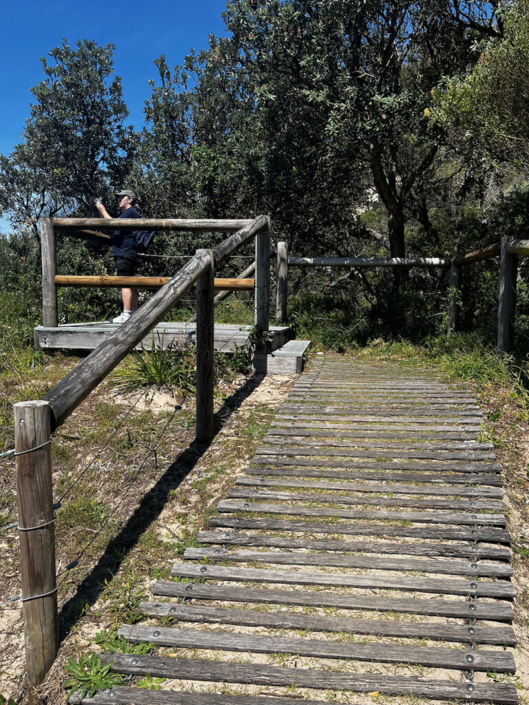
The picture below are the start of the Tomaree Head Summit Walk and what the track looks like as you walk up the hill.

Kingsley and Little Kingsley Beaches
Access: Kingsley Beach carpark Grade: 4 Distance: 1.1 km return Duration: 45 min return
Follow the Tomaree Coastal Walk south from Kingsley Beach on an easy trail that traverses scenic rock platforms. Enjoy stunning ocean views and keep an eye out for white-bellied sea eagles and humpback whales during their migration from May to October.
Descend a sandstone staircase to the secluded Little Kingsley Beach, then continue south through Angophora forests and patches of Gymea lilies toward the village of Fishermans Bay.
Be aware that sections of the walk along the rock shelf are unmarked—look for directional totems to stay on track.
⚠️ Safety Note: Kingsley and Little Kingsley Beaches are unpatrolled and have strong rips and currents. Swimming is recommended only at patrolled beaches along the Tomaree Coastal Walk.
Tomaree Head
Access: Zenith Beach carpark Grade: 3 Distance: 2 km return Duration: 1 hour return
Towering 160 m above the entrance to Port Stephens, Tomaree Head offers 360–degree panoramic views over the coastline. Begin the trail at the Zenith Beach carpark and take your time ascending to the summit.
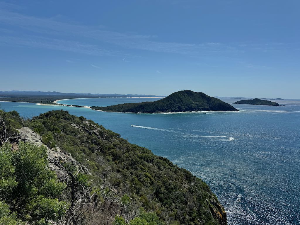
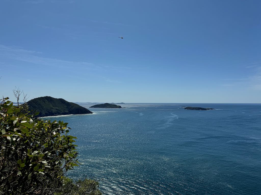
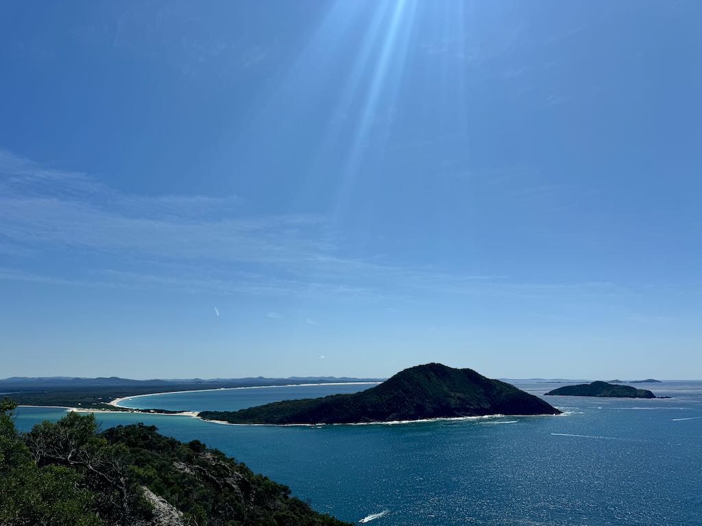
From the top, you can see Broughton Island, Cabbage Tree Island, and Boondelbah Island, two of which are critical nesting sites for the endangered Gould’s Petrel. Download the NPWS app for an augmented reality (AR) experience to learn more about this seabird.
Keep an eye out for Port Stephens dolphins, the Worimi totem, and humpback whales during their migration (May to October).
⚠️ History Highlight: Explore Fort Tomaree, established during World War II as part of Australia’s east coast defense system, with gun emplacements and trails around the lower slopes.
Boat Harbour to One Mile Beach (including slot canyon)
Access: Boat Harbour Beach carpark, Tomaree Crescent (near NPWS depot), or One Mile Beach carpark Grade: 4 Distance: 5 km return Duration: 3 hours return
This walk showcases diverse landscapes, from rock shelves to forested areas and coastal heath, with abundant wildflowers during bloom. Highlights include a slot canyon, where a lookout provides dramatic views into the canyon and out to the ocean.
Along the rocky foreshore, look for threatened sooty oystercatchers, pied oystercatchers, and little terns. You might also spot white-bellied sea eagles, fur seals, dolphins, or migrating whales.
Shorten the walk by starting at the trail near the NPWS depot in Tomaree Crescent, Boat Harbour. Continue south to discover Kingsley and Little Kingsley Beaches along the Tomaree Coastal Walk.
Shoal Bay to Fingal Bay
Access: Zenith Beach carpark or Fingal Bay carpark Grade: 3 Distance: 9 km return Duration: 6 hours return
This scenic section of the Tomaree Coastal Walk connects Zenith Beach, Wreck Beach, Box Beach, and Fingal Beach, showcasing diverse ecosystems such as Melaleuca swamp forests and coastal scrub.
Enjoy spectacular views from Fingal Bay viewing platform before descending to the beach. Visitor facilities and refreshments are available in the Fingal Bay township.
For those preferring an alternate route, a shaded shared pathway connects Fingal Bay to the Tomaree Coastal Walk.
⚠️ Safety Note: Zenith, Wreck, and Box Beaches are unpatrolled and have strong rips. NPWS recommends swimming only at Fingal Bay, a patrolled beach for much of the year.
Birubi Gateway
Access: Pacific Avenue carpark or Robinson Reserve carpark Grade: 2 Distance: 200 m return Duration: 10 min return
Located at Birubi Point Conservation Lands, this area offers incredible views extending to Newcastle on clear days. Explore interpretive signage to learn about the cultural significance of Birubi Point, declared an Aboriginal Place in 2007, and its importance to the Worimi people.
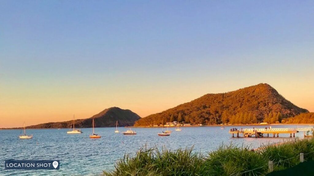
Wouldn’t you love to stay here and watch this amazing sunset
Big Rocky
Access: Big Rocky carpark Grade: 2 Distance: 200 m return Duration: 20 min return
Reach Big Rocky via a 4WD-accessible track, or anchor your kayak at the bay and follow the trail. Best visited at low tide, the area is a delight for rock pool explorers, picnickers, and anglers.
Big Rocky is also accessible via the Tomaree Coastal Walk, which winds through forested areas and heathlands, connecting Boulder Bay to One Mile Beach. Explore nearby bays like Little Rocky and Skate Bay for more secluded spots.
⚠️ Safety Note: These bays are unpatrolled and subject to strong currents. Swim only at patrolled beaches along the Tomaree Coastal Walk.
Sea Country Guudi Vigu Vii Warrimayguba Barray Wanyimbu Wanyimbu Welcome. You are on Worimi Country—always.
As you explore the Tomaree Coastal Walk, we ask that you tread lightly and respect the cultural significance of this landscape. Please refrain from removing or damaging plants, trees, rocks, or other natural features. This is a living Cultural landscape. When taking photos, be mindful of the areas and their importance.
Gathang Language Gathang is the traditional language of the Worimi people, spoken across their Nation. Many place names in the region are derived from Gathang, reflecting the deep connection between language and land. Examples include:
- Tanilba (place of white flowers)
- Mallabula (swampland between two mountains)
- Karah (place of native plum tree)
- Yacaaba (meeting place, now known as Soldiers Point)
- Pindimar (place of black possum)
Today, Worimi people are actively revitalizing Gathang, incorporating it into speeches, artwork, media, place names, and teaching it to future generations to ensure its survival.
Garuwa (Sea Country) The coastal environment holds a special place in Worimi culture as a source of trade, food, and connection. Knowledge about fish species, migration patterns, whales, and dolphins has been passed down over hundreds of years through stories and practices. The Worimi people developed sophisticated fishing techniques, including crafting fish hooks, nets, and spears.
Durrungan (Whale) Whales (Durrungan) are often sighted along this coastline and are visible throughout the year. This region is ideal for observing whale migrations as they travel between feeding grounds in the north and Antarctica. It is believed that whales navigate using the Earth’s magnetic fields.
Living Knowledge of Land and Seasons The Worimi people have an intimate understanding of the land, its seasons, and its abundance of bush foods. Living a hunter-gatherer lifestyle, women collected yams with digging sticks, while men used boomerangs and spears for hunting. Both men and women excelled in fishing, ensuring their community was well-fed.
This enduring knowledge of the environment continues to define the Worimi people’s deep connection to Country.
Diverse and Distinct Guudji Yiigu Yii Warrimayguba Barray Wanyimbu Wanyimbu Welcome. You are on Worimi Country—always.
As you explore the Tomaree Coastal Walk, we ask you to tread lightly and respect the cultural significance of this landscape. Avoid removing or damaging plants, trees, rocks, or other natural features. This is a Cultural landscape. When taking photos, please be mindful of the areas and their importance.
Wubaray (Black Dolphin) and Guparr (Grey Dolphin) Wubaray (black dolphins) and guparr (grey dolphins) can often be spotted throughout Port Stephens and along the coastline. The Worimi people admire the wubaray, also known as the Indo-Pacific bottlenose dolphin, for its exceptional navigation, gitjima (hunting skills), and nurturing care for its young.
Port Stephens is home to a permanent population of around 90 to 120 wubaray, residing within the Port Stephens-Great Lakes Marine Park. These dolphins grow up to 2.6 meters long, weigh as much as 230 kilograms, and primarily feed on squid, octopus, and various fish species.
Typically seen in groups of 5-15, wubaray pods can sometimes number in the dozens. Juvenile dolphins spend years with their families, learning vital skills like hunting and social behavior. However, they face ongoing challenges, including predatory sharks and threats from human activities like boat traffic and pollution.
(Source: Tomaree Museum)
Ninang (Oyster) Industry The Worimi people’s deep understanding of the land and sea was integral to the development of the Port Stephens oyster industry. They knew that when mangrove seeds began to fall, it marked the start of ninang season.
For coastal Aboriginal communities, oysters were a dietary staple. As skilled hunters and gatherers, the Worimi people only harvested what they needed, ensuring the sustainability of natural resources. Every shellfish was used, leaving no waste.
However, European settlement in the mid-19th century threatened oyster populations when shells were harvested for lime in construction. Protective measures were eventually introduced, and the industry thrived. Following World War II, Port Stephens oysters gained a reputation for being world-class.
Animal Diversity
Tomaree National Park is home to a wide range of wildlife. Beyond kangaroos, wallabies, and possums, you may encounter bandicoots, sugar gliders, and echidnas. The park also supports 12 species of bats and 10 species of native rats and mice, highlighting its ecological richness.
Gawul (White-Bellied Sea Eagle)
Gawul, the white-bellied sea eagle, is an endangered species often seen along the Tomaree Coastal Walk. This impressive raptor, Australia’s second-largest bird of prey, is a skilled hunter and a symbol of the area’s thriving biodiversity.
Birds of the Headland
Tomaree Headland is a haven for various bird species.
- Peregrine Falcon: The fastest bird in the world, capable of diving at speeds up to 300 km/h, this large, powerful bird of prey nests in the area.
- Little Penguins: Occasionally spotted nearby, these charming seabirds add to the region’s unique wildlife.
- Terns, Gulls, and Cormorants: These species often fish between Tomaree and Yacaaba headlands.
- Shearwaters, Gannets, and Jaegers: These seabirds, including the Arctic and pomarine jaegers, sometimes follow fishing boats returning to the bay.
Gould’s Petrel
Gould’s petrel, Australia’s rarest seabird, spends much of its life flying solo over the open ocean. Remarkably, over 95% of the species breeds around Port Stephens. Conservation efforts have been pivotal in preventing its extinction.
Two of the three known nesting sites for Gould’s petrel are Cabbage Tree Island and Boondelbah Island, both near Tomaree. The third site is Montague Island on the NSW South Coast.
Experience More: Keep an eye out for the Gould’s petrel augmented reality (AR) experience on Tomaree Head. Download the NPWS app to learn more about this extraordinary seabird and its conservation journey.
Geology
Tomaree Head, standing 161 metres tall, is a remarkable formation created from volcanic rock during the Carboniferous period (359–299 million years ago). It is part of a unique deep-sea water harbor. The northern section of the park features four moderately high peaks, with Tomaree Head being the tallest, while the southern section consists of lower, undulating terrain.
The local coastline is home to a geological phenomenon known as a “dyke swarm,” with around 50 volcanic rock seams located between Morna and Cemetery Points. These dykes, also referred to as slot canyons, include the prominent slot canyon at Tomaree Head, a celebrated landmark.
(Source: NPWS Tomaree National Park Plan of Management 2020 and Boat Harbour Memories by the Boat Harbour Book Working Group, 2022)
Gigantic Gymea Lily
The gigantic gymea lily, a striking coastal plant, held cultural significance for the Worimi people. Its tall stem was used to craft spears, while its blooming signaled the start of the whales’ migration journey.
Coastal Vegetation
The Worimi people were highly resourceful, utilizing the region’s natural vegetation for food, medicine, and tools. Plants like wattle, snake vine, and pigface were vital for sustenance and healing. Trees and plants also provided materials for crafting boomerangs, digging sticks, spears, water vessels, and canoes.
Radar Station
The strategic geometry of guns, radar, and searchlights at Tomaree Head was designed to protect the harbor entrance during World War II.
The radar at Tomaree Head’s summit was Australia’s first air warning radar, a remarkable achievement in wartime innovation. Developed by the Council of Scientific and Industrial Research, the aerial and turning gear were crafted by Eveleigh Workshops of NSW Railways, while the electronics were assembled by the HMV Gramophone Company, all based in Sydney.
This radar was groundbreaking in several ways:
- The first to be operated entirely by RAAF-trained mechanics.
- The first radar system with a purpose-built structure.
- The longest-serving RAAF radar during World War II.
(Source: NSW State Heritage Register, Department of Planning and Environment)
Fort Tomaree
Fort Tomaree played a vital role in protecting Newcastle and the Williamtown airbase from potential Japanese attacks during World War II.
In 1940, Port Stephens was identified as a significant harbor near Newcastle’s essential steelworks, making it a potential landing site for enemy forces. Since Newcastle’s artillery was too far away to defend Port Stephens, Fort Tomaree was constructed by 1942. The fort was equipped with:
- Six-inch guns
- Torpedo tubes
- Mortars and machine guns
- Rifle pits and searchlights
- Command and observation posts
- Barbed wire defenses and accommodation facilities (later known as Tomaree Lodge).
The fort’s guns were never fired in combat, and after 1943, the artillery defenses were gradually downgraded. Minor gun positions were closed, artillery crews were reassigned, and Volunteer Defence Corps personnel replaced gunners.
Shipwrecks and Lighthouses
This region is often referred to as the “shipwreck coast” due to its treacherous rocks and unpredictable storms. Notably, the 1800s saw at least 26 ships lost to the sea near Oyster Bank and Stockton, with additional wrecks around Fingal Point. To improve maritime safety, lighthouses were built as guiding beacons for passing ships.
Point Stephens Lighthouse: “The Outer Light”
Standing at 21 metres, the Point Stephens Lighthouse, fondly known as “The Outer Light”, was completed in March 1862 and began operating on 1 May of the same year. A sandstone keeper’s residence, built using the same material as the lighthouse, was finished in 1865.
However, life at the lighthouse changed drastically in 1898 when a massive southerly sea, generated by the Maitland Gale, washed away the natural land bridge that connected Point Stephens to the mainland. Once a stable, tree-lined stretch of land about 180 metres wide and 4 metres high, it disappeared overnight.
The keepers and their families, now isolated on an island, had to adapt to new challenges. Their routines and accessibility were dictated entirely by the tides and ocean swells.
Military Defence
During World War II, Tomaree Head played a vital role in Australia’s coastal defense system, housing soldiers, artillery, and advanced radar and signaling equipment.
Key defensive installations included:
- Australian Army Seafront and Beachfront Operations
- Observation posts, radar installations, command centers, and a plotting room for data coordination.
- Machine gun, anti-aircraft, and mortar emplacements, as well as three-man weapons pits.
- Royal Australian Navy (RAN) Seaward Defences
- Systems like minefield observation, anti-torpedo nets, hydrophones, and torpedo tubes.
- These were largely managed from the Port War Signal Station at Nelson Head.
- Royal Australian Air Force (RAAF) Radar Station
- Located at the peak of Tomaree Headland, this station tracked aircraft and reported its findings to No. 2 Fighter Sector in Newcastle. Commands were then relayed to Williamtown Air Base, forming part of a vital early warning system against enemy aircraft.
Amphibious Training at Port Stephens
During World War II, Port Stephens became a vital hub for amphibious landing training. Each month, an estimated 2,000 men—Australian Imperial Force (AIF) and U.S. servicemen—passed through the Amphibious Training Centre, amounting to 20,000 personnel in total. They trained in embarkation and debarkation exercises using Royal Australian Navy (RAN) landing ships, including HMAS Westralia, HMAS Manoora, HMAS Kanimbla, and USS Henry T Allen.
The training took place under simulated invasion conditions on Zenith, Wreck, and Box Beaches. The facility, later commissioned as HMAS Assault, became the first Allied Combined Operations Landing Training Centre in the South-West Pacific. Its strategic importance grew as it trained RAN landing craft and crews for key amphibious invasions, including operations in Dutch New Guinea, Tarakan, Balikpapan, and the Philippines (Leyte and Lingayen Gulf).
By October 1943, Port Stephens hosted 141 ships and landing craft—36 managed by HMAS Assault and 105 by the U.S. Navy. These defences formed Fort Tomaree, protecting Allied forces and supporting critical operations in the Pacific theatre.
Strategic Significance of Port Stephens
The Japanese invasion of Southeast Asia and the Pacific in 1942 necessitated the creation of training camps for joint operations by the navy, army, and air force. These efforts aimed to prepare for the retaking of captured islands.
In June 1942, a Royal Marine officer, Commander F.N. Cook, and Lieutenant Colonel Hope evaluated potential sites along the east coast. Port Stephens was chosen due to its secure, defendable port, safe anchorage away from Japanese submarine activity, and low population density.


Views from the Summit
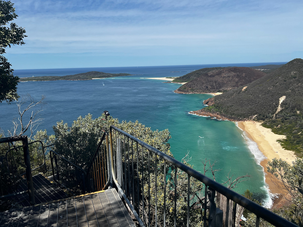
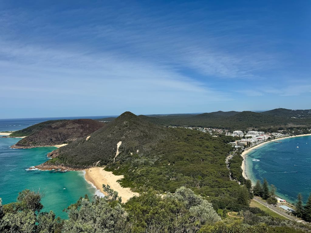
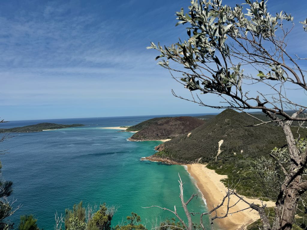
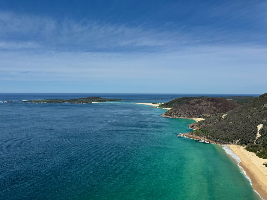
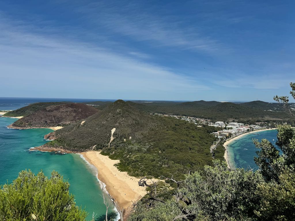
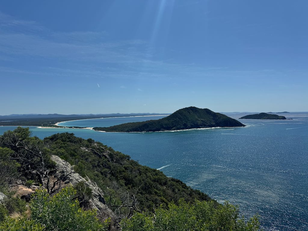
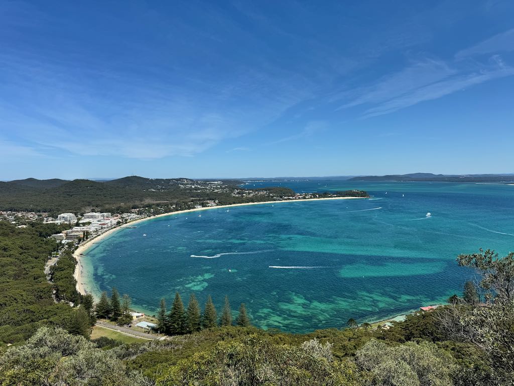
Reaching the summit of Tomaree Head is a reward in itself. From this vantage point, you’ll be treated to sweeping 360-degree views that encompass the turquoise waters of Zenith Beach, Shoal Bay, and the distant Cabbage Tree and Broughton Islands. On clear days, you might even spot dolphins frolicking in the waves or whales during their migration season.
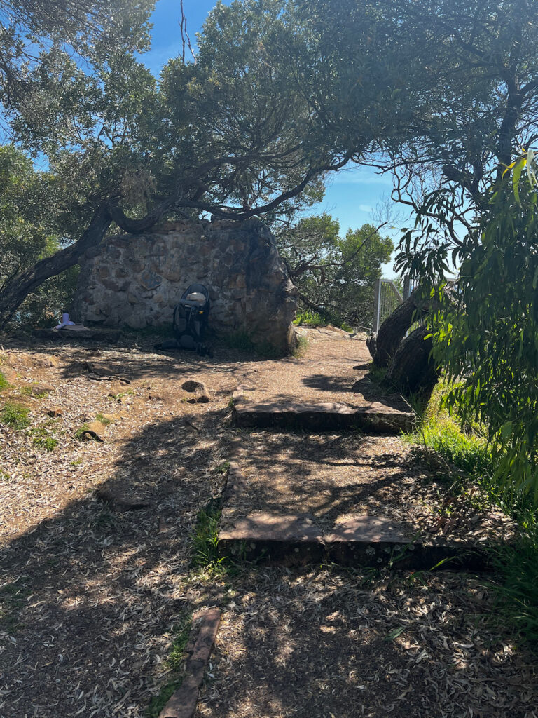
The summit is also home to remnants of World War II gun emplacements, adding a historical dimension to your visit. Informative plaques along the trail provide insights into the area’s military significance and its role in coastal defense.
Tips for a Memorable Visit
- Timing is Key: For the best experience, aim to hike during the early morning or late afternoon. These times not only offer cooler temperatures but also stunning lighting for photography.
- Stay Prepared: Wear sturdy walking shoes, bring plenty of water, and don’t forget sunscreen and a hat. The trail has limited shade, especially as you near the summit.
- Respect Nature: Tomaree National Park is a protected area. Help preserve its beauty by sticking to the trail, disposing of waste responsibly, and leaving no trace.
Extend Your Adventure
If you have extra time, explore nearby attractions such as Zenith Beach, Wreck Beach, or Fingal Spit. For a post-hike treat, Shoal Bay offers a variety of cafés and restaurants where you can relax and refuel while enjoying coastal views.
Why Visit Tomaree Head Summit Walk?
The Tomaree Head Summit Walk is more than just a hike; it’s an immersion into the natural beauty and history of New South Wales. Whether you’re chasing spectacular views, eager to learn about Australia’s past, or simply seeking a serene escape, this trail is a must-visit.
Pack your camera, lace up your hiking boots, and set out on an adventure that promises breathtaking rewards at every step. Tomaree Head is calling—will you answer?
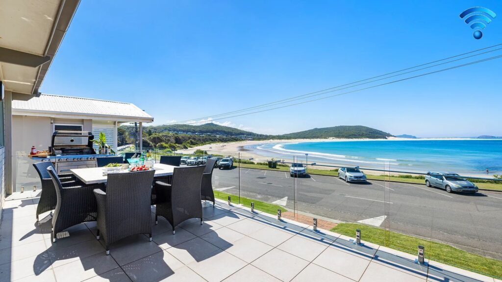
Relax outside with a drink and soak in this stunning view.
Exploring Nearby Gems: Attractions Around Tomaree Head Summit Walk
Here are some of the nearest attractions to Tomaree Head Summit Walk in Port Stephens, New South Wales:
1. Zenith Beach
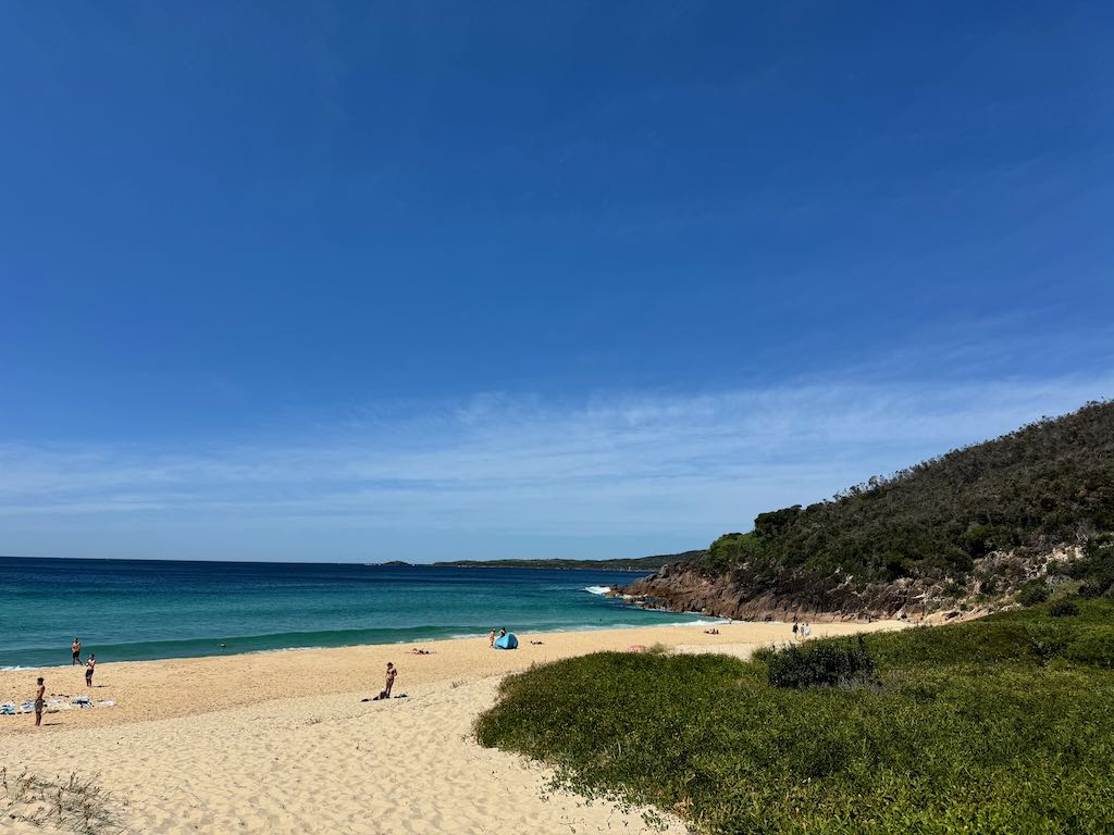
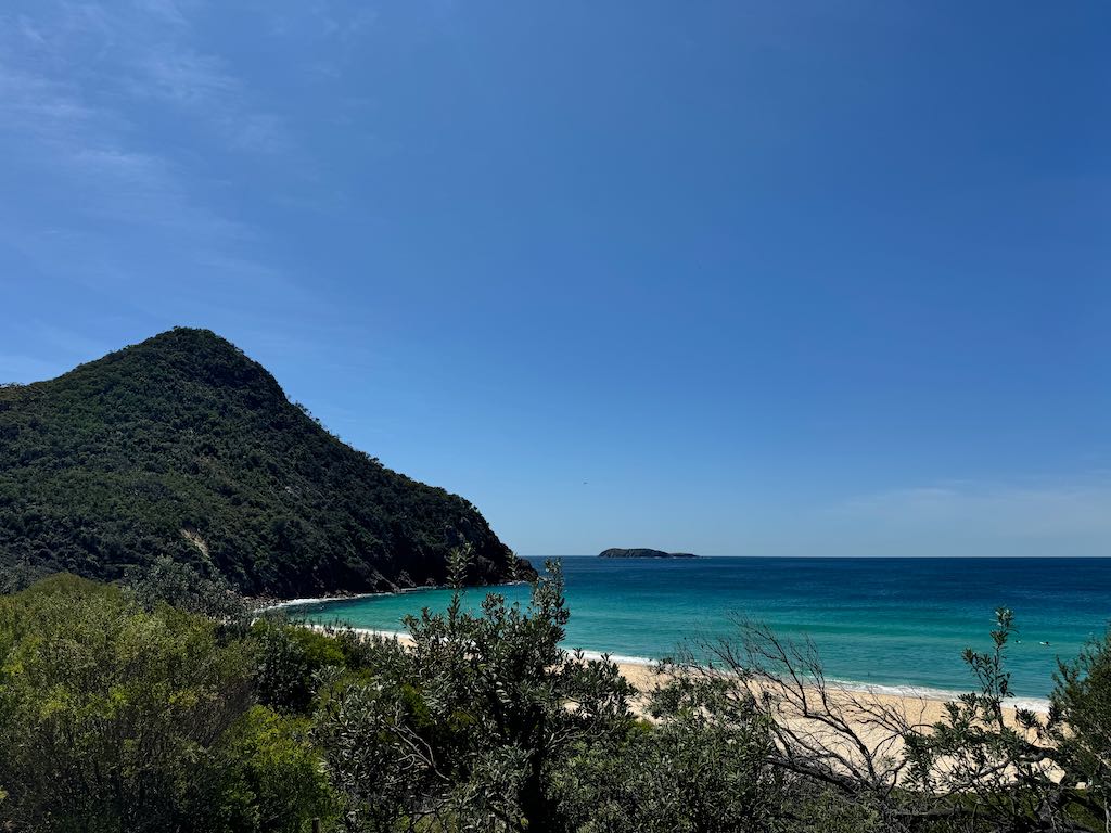
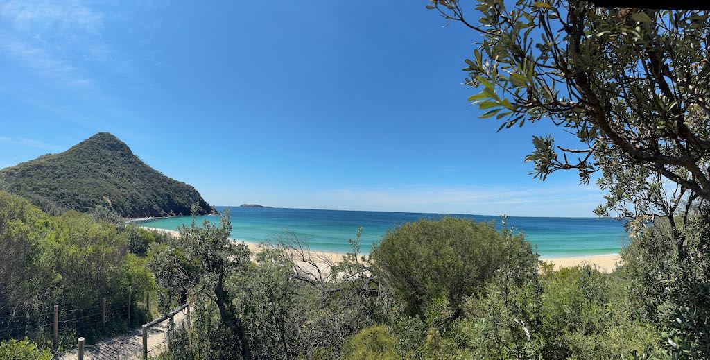
Zenith Beach, nestled within Tomaree National Park in New South Wales, is a hidden gem known for its dramatic beauty and serene ambiance. This secluded stretch of golden sand, framed by towering headlands and lush coastal vegetation, offers a peaceful retreat for nature lovers. While its pristine waters are ideal for a refreshing swim, the beach is also a popular spot for photography, thanks to its breathtaking vistas and unspoiled surroundings. Visitors can often spot native birdlife and dolphins, adding to the charm of this untouched coastal haven.
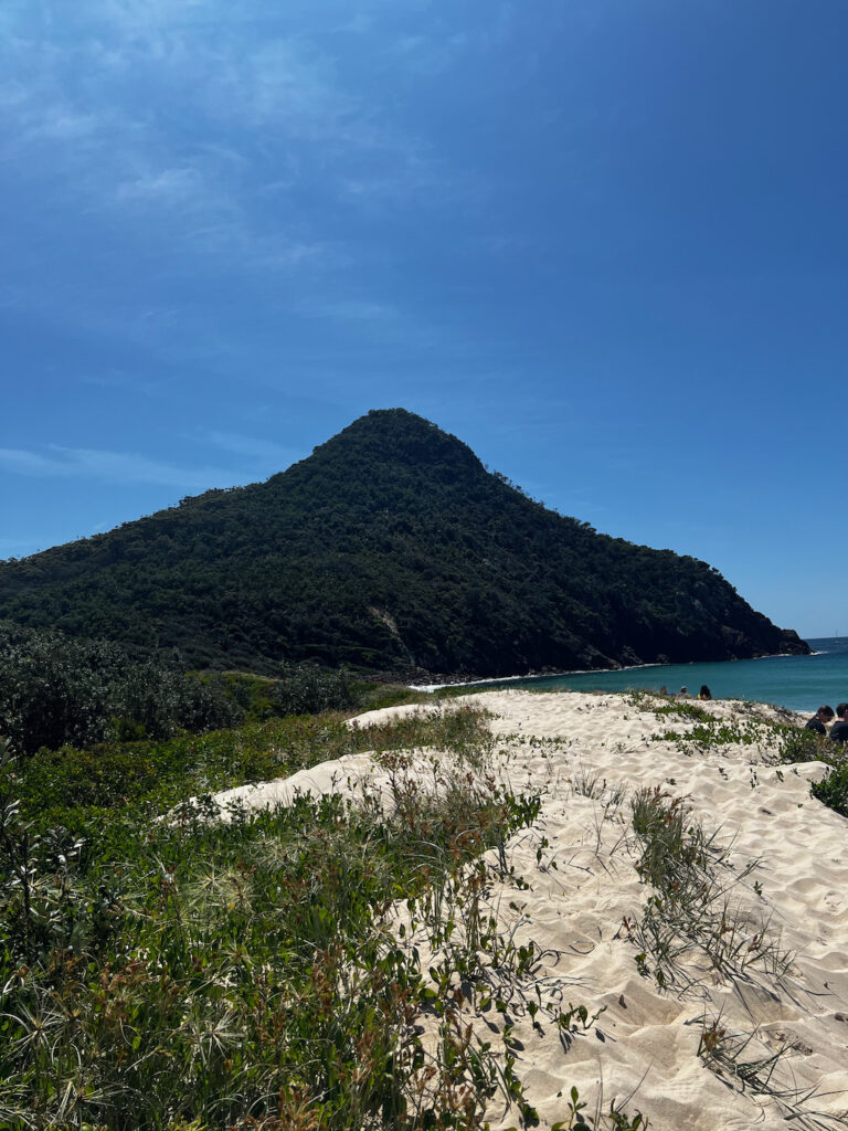
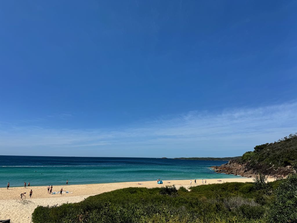
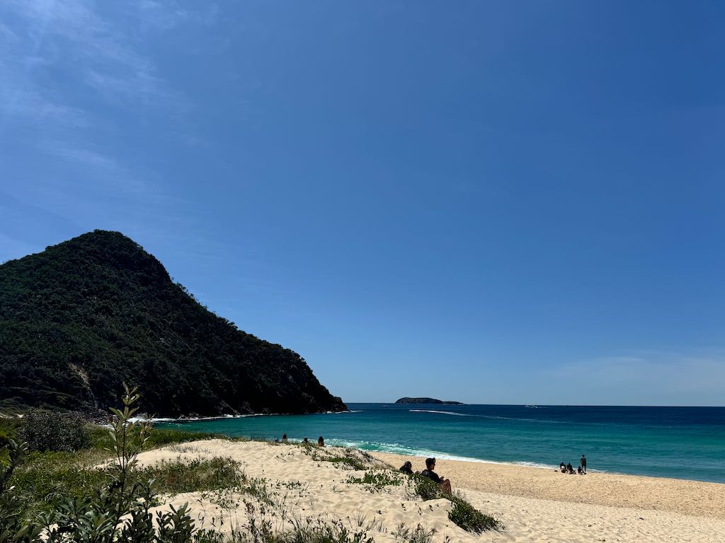
Zenith Beach is a secluded and picturesque spot with golden sands and turquoise waters. It’s a perfect place to relax after your hike, take a swim, or capture stunning coastal photos.
We stopped at Zenith Beach on the way back from doing the summit walk, its only a short walk to the beach with amzing views of the hill we had just walked up.
2. Wreck Beach
A hidden gem, Wreck Beach is a short walk from the Tomaree Head area. Surrounded by lush greenery, this quiet beach offers a tranquil escape and is ideal for those seeking a peaceful environment away from crowds.
3. Fingal Spit and Fingal Island
Fingal Spit is a unique land formation that connects the mainland to Fingal Island during low tide. Fingal Island features a historic lighthouse and rugged landscapes. Be cautious when exploring the spit, as tides can rise quickly.
4. Shoal Bay
The charming village of Shoal Bay is nearby, offering cafés, restaurants, and boutique shops. It’s a great spot to unwind with a meal or coffee while enjoying waterfront views.
5. Gan Gan Lookout
A short drive from Tomaree Head, Gan Gan Lookout provides panoramic views of the Port Stephens area. The lookout is accessible by car and offers another perspective of the region’s stunning landscapes.
6. Nelson Bay
Nelson Bay is the central hub of Port Stephens, offering dolphin and whale-watching tours, water sports, and plenty of dining options. It’s a vibrant area to explore for additional activities.
7. Mount Tomaree Coastal Walk
For those looking to extend their hike, this coastal walk links Tomaree Head with nearby beaches and offers equally impressive views of the coastline and local flora.
8. Little Beach
A serene and family-friendly beach, Little Beach is a short distance away. It’s known for calm waters and is an excellent spot for picnics or paddleboarding.
9. Fly Point Aquatic Reserve
Perfect for snorkeling and diving enthusiasts, Fly Point is a marine reserve featuring vibrant underwater life, including corals, tropical fish, and sea turtles.
These attractions provide a mix of relaxation, adventure, and natural beauty, complementing your visit to Tomaree Head Summit Walk. Let me know if you’d like detailed descriptions of any!
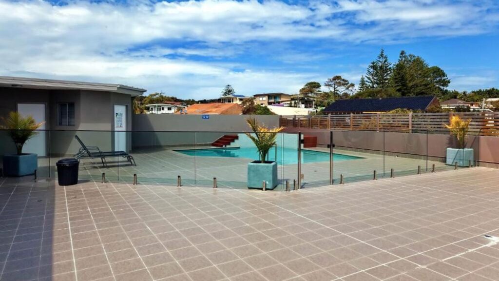
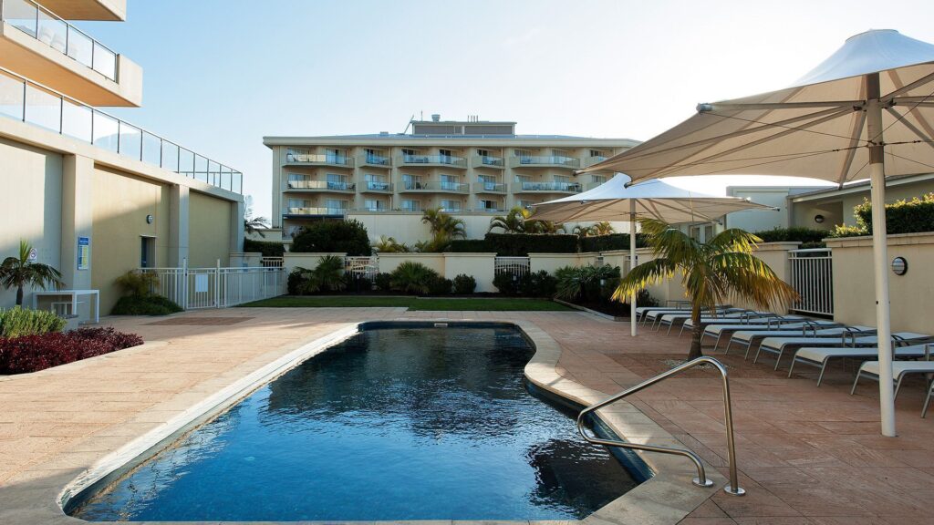
Discover this accommodation with a swimming pool for your next getaway!
Charming Coastal Towns Near Tomaree Head Summit Walk
Here are the nearest towns to Tomaree Head Summit Walk, located in Port Stephens, New South Wales:
1. Shoal Bay
Shoal Bay is the closest town, situated right at the base of Tomaree Head. It’s a picturesque seaside village offering a variety of accommodations, cafés, and restaurants. Shoal Bay serves as the gateway to the Tomaree Head Summit Walk.
2. Nelson Bay
Approximately 5 kilometers west of Tomaree Head, Nelson Bay is the main hub of Port Stephens. It’s known for its marina, dolphin-watching cruises, and an array of shops, restaurants, and accommodations.
3. Fingal Bay
Located about 3 kilometers south of Tomaree Head, Fingal Bay is a peaceful coastal town. It features a beautiful beach, a family-friendly vibe, and access to Fingal Spit and Fingal Island.
4. Corlette
Around 8 kilometers from Tomaree Head, Corlette is a quiet town nestled along the bay. It’s ideal for those seeking tranquil beaches and luxury accommodations, including beachfront resorts.
5. Anna Bay
Roughly 12 kilometers away, Anna Bay is famous for its proximity to the Stockton Sand Dunes, where visitors can enjoy sandboarding, quad biking, and camel rides.
6. Salamander Bay
About 9 kilometers west of Tomaree Head, Salamander Bay is a residential area with a large shopping center, golf courses, and calm waters for swimming and paddleboarding.
These towns provide a mix of vibrant activities, dining options, and serene spots to unwind, making them excellent bases for exploring the Tomaree Head region. Let me know if you’d like suggestions on what to do in these towns!
Places To Get Food
- The Shoal Bay Diner
- The Iron Door Craft Street Food
- Zenith Cafe, Restaurant and Bar
- The Cafe
- Mod Thai
- Bites On The Bay
- Gianni’s
- The Game O Bistro
- Aussie Bob’s Fish & Chips
- Fingal Bay Cafe & Take Away
- Shoal Bay Country Club
- Nostimo At The Bay
- Bluewater Grill
- The Lolly Bug Shoal Bay & The Lolly Bug Ice-Creamery
- The Nelson Way Café, Restaurant & Bar
- Inner Light Tea Rooms
- Seabreeze Restaurant
- Longboat Cafe
- Sienna’s Restaurant
- The Hawker Inn Asian Sea Food.
- Wests Nelson Bay
- McDonald’s Salamander Bay
- The Buoys Nelson Bay – Restaurant, Cafe And Bar
- Little Beach Boathouse
- CAFE KIN
- Hog’s Breath Cafe Nelson Bay
- Dumpling Mamas Bar & Dining
- Taj Tandoori Indian Restaurant
- The Little Nel
- The Galley Kitchen
- Magnolia. Nelson Bay
- Cafe On the Bay
- Giwa Chicken & Beer
- In House Kitchen
- The Only Place Indian Restaurant. Est. 1998
- John Dory Seafoods
- Bub’s Famous Fish & Chips
Accommodation
These are my picks for accommodation in the area, the links will take you directly to the booking site where I receive a small commission if you book and stay, this does not alter the price as the commission comes out of the price from the booking site. I love travelling and providing information to help others maximize their vacations so by booking through my links you help support me to keep providing this information for free and without ads.
Seaside Holiday Resort Fingal Bay
View on Expedia.com.au Seaside Holiday Resort Fingal Bay
An outdoor pool, a children’s pool and laundry facilities are available at this smoke-free apartment building. Self parking is free. Additionally, free newspapers, a garden and barbecues are on-site. The apartment has 2 bedrooms and offers free WiFi and a DVD player. Guests will find a kitchen with a fridge, an oven, a stovetop and a microwave. Housekeeping is not available.


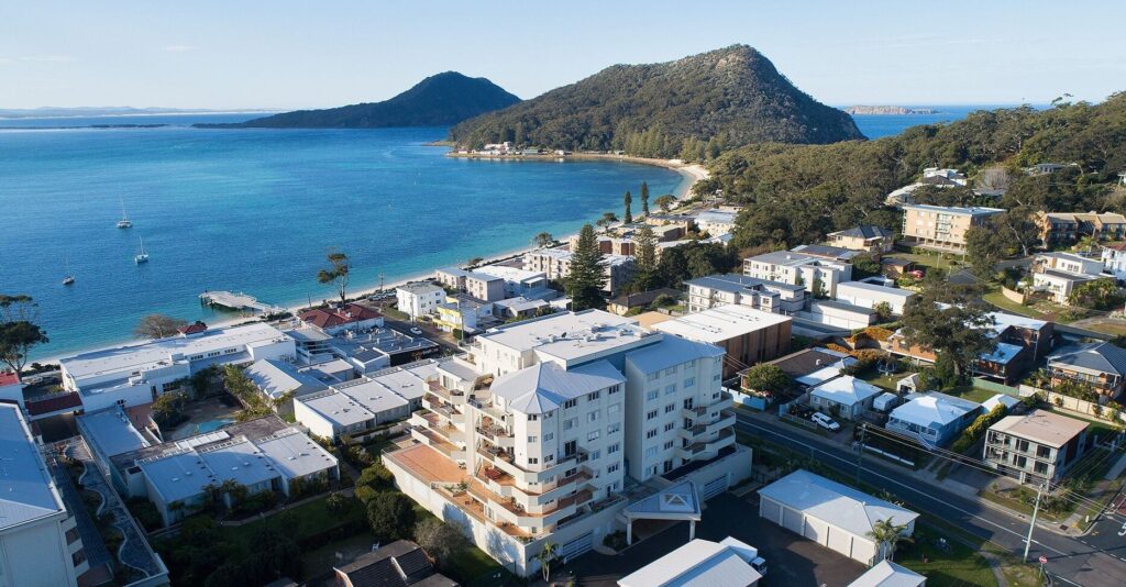
Heart & Shoal – Gorgeous beachside apartment overlooking Shoal Bay
View on Expedia.com.au Heart & Shoal – Gorgeous beachside apartment overlooking Shoal Bay
Located within the Ramada Resort at Shoal Bay, Heart and Shoal offers access to three pools, a gym, a sauna, and a luxurious day spa. This spacious second-level retreat features three bedrooms, two bathrooms, a guest powder room, and a bright living area with stunning ocean views. The master bedroom boasts an ensuite and king bed, while the second bedroom has a queen bed. The third bedroom includes two single beds and a trundle—perfect for kids. A gourmet kitchen with Miele appliances complements the open-plan design, but the highlight is the wraparound deck with outdoor seating, a BBQ, and sun lounges for ultimate relaxation

CALM at Shoal Bay – Gorgeous brand new, modern home
View on Expedia.com.au CALM at Shoal Bay – Gorgeous brand new, modern home
Take the opportunity to experience holiday luxury in this gorgeous modern beach house. This three-bedroom, two-bathroom home would be perfect for a family holiday or for a group of friends as a weekend getaway or week-long vacation. This property offers a spacious open-plan kitchen, dining and living area. The living room leads to a large undercover alfresco dining area at the rear with a gas BBQ, quality outdoor furniture, and a gorgeous swing seat where you can relax and enjoy the warm summer air

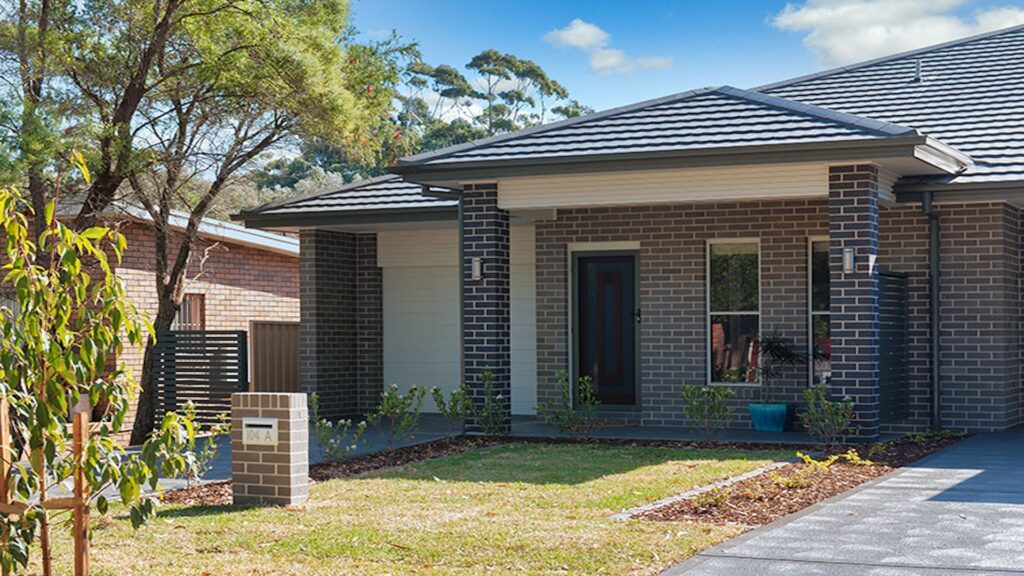
On the Beach – stunning ocean views with room to bring the boat, walking distance to town
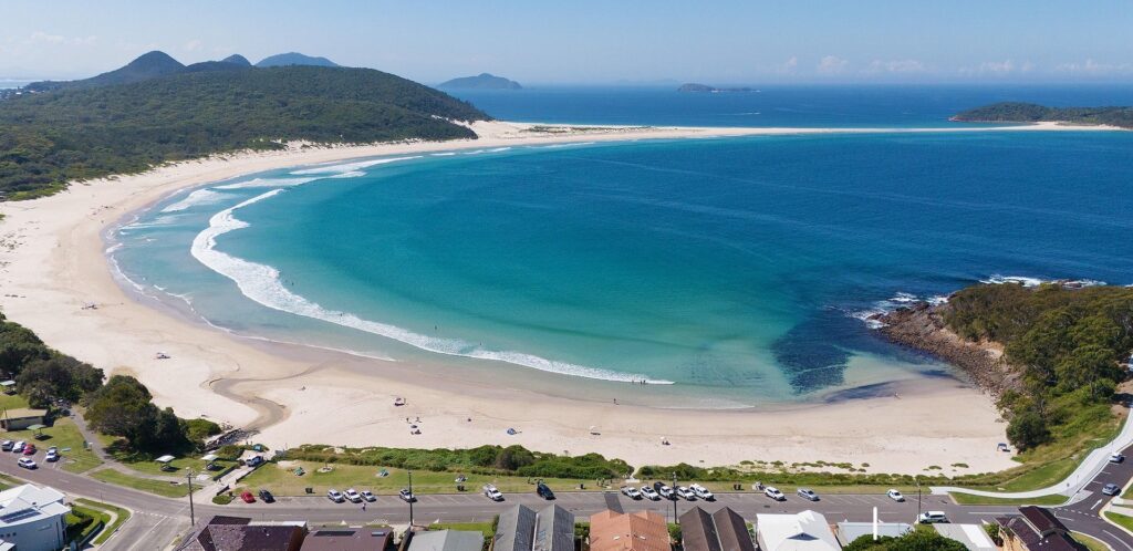
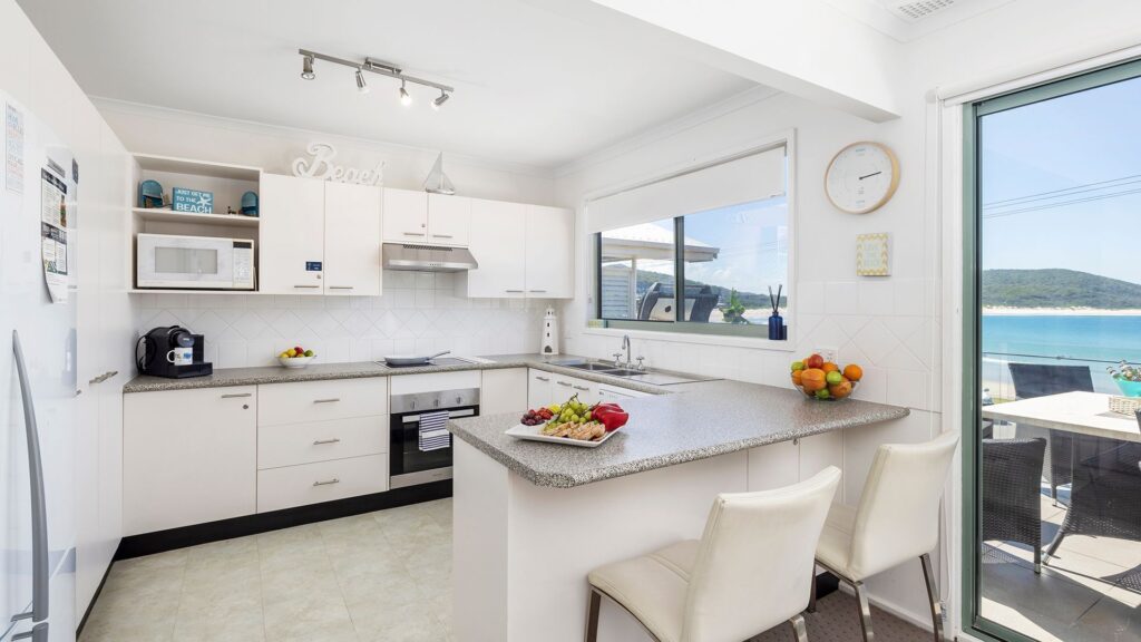
On the Beach is the ultimate beachfront holiday home with modern amenities and breathtaking views of Fingal Bay. The house features two separate kitchens and living areas, four large bedrooms, and three modern bathrooms, two with baths – perfect for two families. With two driveways, guests can park two cars and a boat. The outdoor area boasts a BBQ, and a spacious balcony for outdoor living, offering beachfront views of the north-facing ocean and national park.

Solaris – beach and ocean views
View on Expedia.com.au Solaris – beach and ocean views
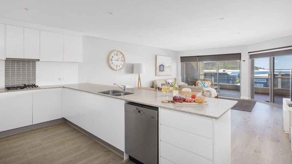
Solaris comprises a stylish master queen room with ensuite and sea views, an open plan living and dining area leading to a wide balcony with stunning water views. With three queen bedrooms and an additional twin room and a shared rooftop pool, it caters perfectly to families and friends seeking solace.

Essential Packing Checklist: Everything You Need for Your Next Adventure
The links will take you directly to the Amazon site where I receive a small commission if you buy the product, this does not alter the price as the commission comes out of the price from Amazon. I love travelling and providing information to help others maximize their vacations so by buying through my links you help support me to keep providing this information for free and without ads.
Click on this link to see my packing list
Frequently Asked Questions
How long does it take to walk the summit of Tomaree Head?
Embark on an invigorating short hike to the summit of Tomaree Head, a journey that takes approximately 45 minutes. Standing 161 meters above the entrance to the Tasman Sea, this rugged peak offers breathtaking views. Along the way, you’ll be treated to unparalleled vistas of the serene Port Stephens and its stunning coastline.
How long is the Tomaree Coastal Walk?
The Tomaree Coastal Walk in Port Stephens delivers a one-of-a-kind multi-day adventure spanning 27 kilometers.
How many kilometers is Mount Tomaree?
Embark on a refreshing short walk to the summit of Tomaree Head, standing 161 meters above the Port Stephens entrance. As you follow the 2.2km return track, you’ll be treated to stunning, unobstructed views of the picturesque Port Stephens and its coastline.
Can you drive to Tomaree Head?
Parking is available at either the lower or upper Zenith Beach carpark. On busier days, you may need to park along Shoal Bay Road.
Can you take dogs up Mount Tomaree?
Dogs are not permitted on this trail, so be sure to leave your pups at home.
Can you swim at Zenith Beach?
Zenith Beach is a tranquil and secluded spot located within Tomaree National Park. With its stunning landscape and untouched surroundings, it’s an ideal location for swimming and soaking in the coastal ambiance. It’s also a fantastic place to spot birdlife and dolphins.
If you enjoyed this article, you may find my other writings equally captivating.
FOLLOW ME on Facebook, Instagram, Pinterest, Tik Tok, You Tube and Twitter to see more delicious food and get all the latest updates.
 George Reserve: On-Lead Dog Exercise Area for Fun and Fitness
Leave a Reply